ON THIS PAGE
InSight landed at 11:52:59 a.m. PT (2:52:59 p.m. ET) on Nov. 26, 2018 near Mars' equator on the western side of a flat, smooth plain called Elysium Planitia.
Elysium Planitia was selected not for its surface features, but for safety considerations. InSight's purpose was to study the interior of Mars, not the surface. Thus, in the selection of a landing site, what's on the surface mattered less on this mission than for previous rover missions focused on the geology.
Planitia is Latin for a flat surface, geometric plane, or flatness or a plain. Elysium is from the ancient Greek name for an afterlife paradise, usually referred to in English as the Elysian Fields.
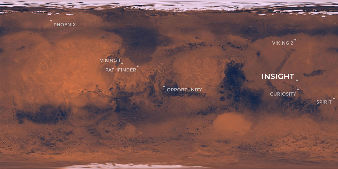
The landing site lies in the western portion of Elysium Planitia, centered at about 4.5 degrees north latitude and 135.9 degrees east longitude. This is just 373 miles (600 kilometers) from Curiosity’s landing site, Gale Crater.
The landing ellipse was about 81 miles (130 kilometers) long, generally west to east, and about 17 miles (27 kilometers) wide, covering the area within which the spacecraft had about a 99 percent chance of landing when targeted for the center of the ellipse.
After touchdown, InSight took wide, panoramic images at this landing site, confirming what scientists expected: a flat surface, with no hills nearby and few large rocks in view. Their predictions were based on high-resolution images taken from orbit as part of thorough evaluations for selecting the site.
Selecting Where to Land
Workshops took place in 2013, 2014 and 2015, to evaluate 22 candidate landing ellipses and then four finalists. All 22 of those sites were in Elysium, which is one of only three areas on Mars that meet two of InSight's needs.
One requirement was that the landing site must be close enough to the equator: between 5 degrees north latitude and 3 degrees north latitude. This ensured that the lander's solar array could provide adequate power at all times of the year and the lander could stay warm.
The second requirement was that the site's elevation must be low enough to have sufficient atmosphere above the site for a safe landing, because the spacecraft relies on the atmosphere for deceleration during descent.
The High-Resolution Imaging Science Experiment (HiRISE) camera on NASA's Mars Reconnaissance Orbiter played an important role in evaluating candidate landing sites on Mars. HiRISE took about 150 images of candidate InSight landing sites, covering nearly all of the ground of the final site.
Landing Successfully on Mars

InSight's scientific success and safe landing depended on landing in a relatively flat area. It also depended on landing in an area where rocks are few in number. A slope too steep could foil the robotic arm's access to a sufficiently large work area. A sufficiently steep slope in the wrong direction could jeopardize how much power the solar arrays could produce. A large enough rock at the landing site could block one of the solar arrays from opening.