2 min read

Earth planning day: Wednesday, April 3, 2024
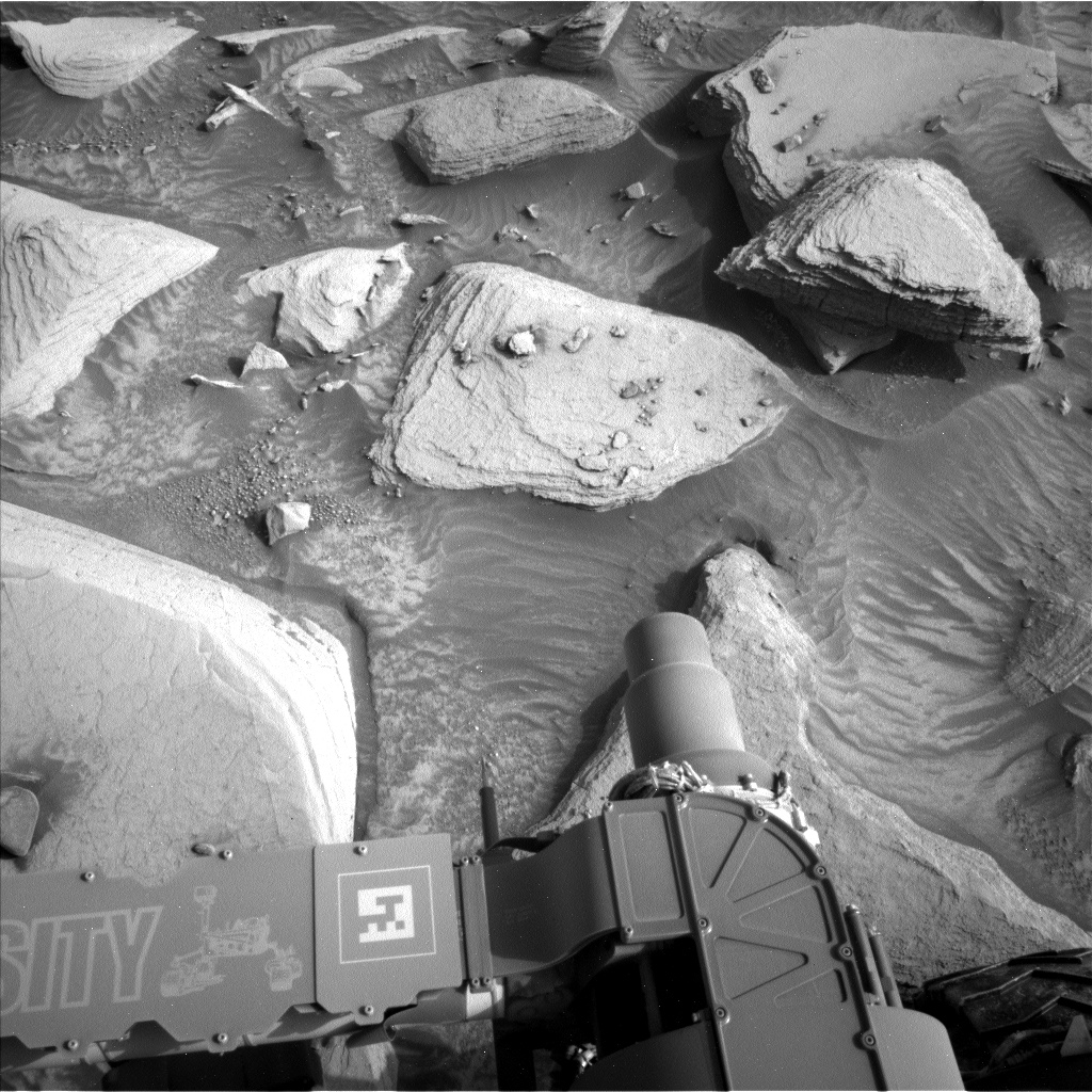
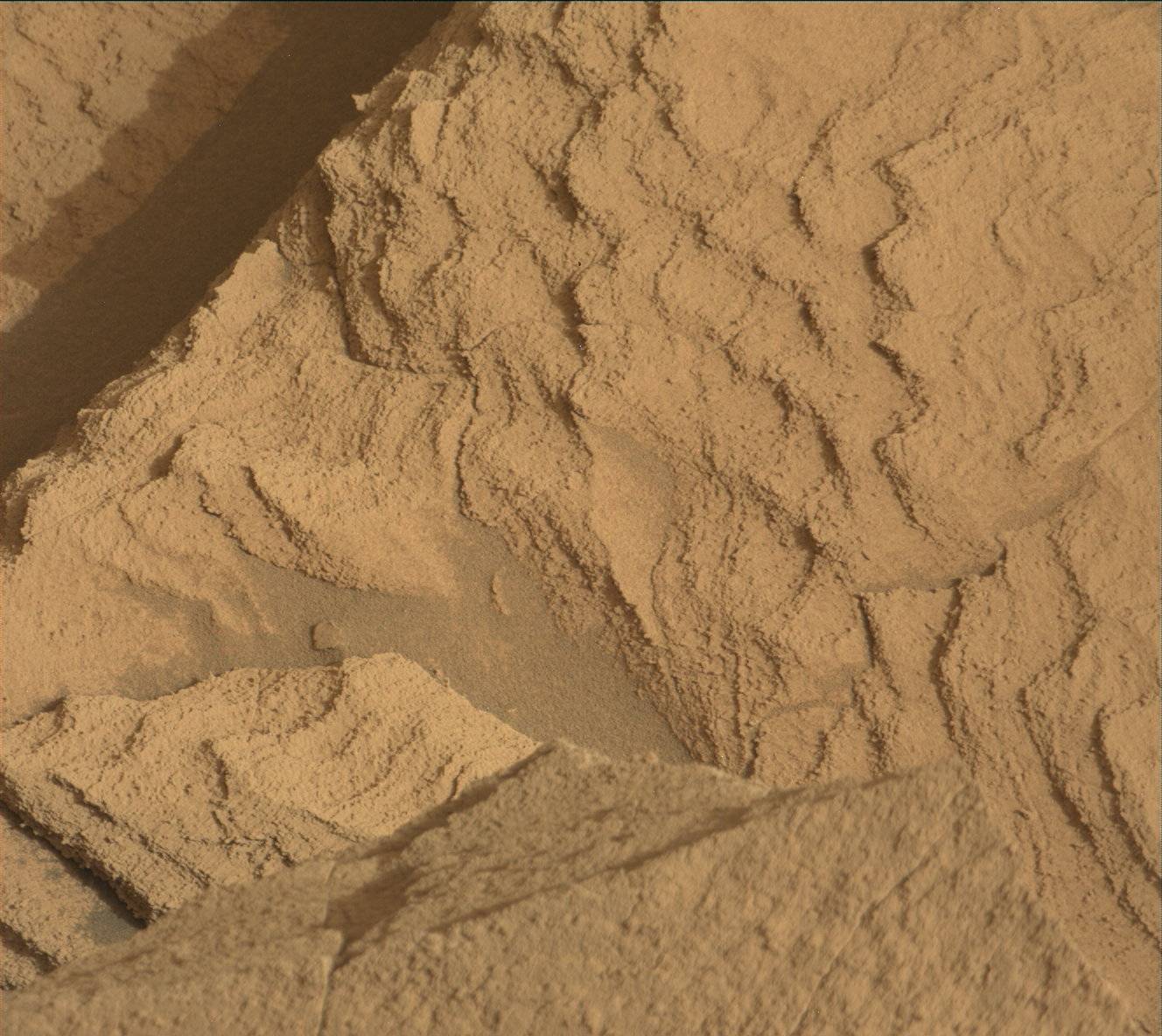
Today we planned a Touch and Go plan. Our workspace had abundant large, stable blocks – not always a given! - which made for a relatively easy planning process for the geology and mineralogy theme group (GEO). The bedrock here is predominantly a pale coloured rock, massive (non-lineated) in appearance, but there are rare fragments of darker layers in places, which look more like the dark layered rocks back at “Mineral King,” our last drill site. We will brush the dominant lithology at “Ruby Creek” and use APXS and MAHLI on this target. We will also get ChemCam LIBS and a Mastcam image of a small patch of the darker layer at “Tuttle Obelisk” which will allow us to compare the chemical composition of both the dominant paler bedrock and the rarer fragments of dark material.
In Monday’s plan, we drove away from the “intriguing mess” at “Hinman Col,” a poorly sorted pile of rubble and rocks as described by Melissa on sol 4143. For this plan, Hinman Col is about 20 metres behind the rover, so we can now image the back of it. This will allow us to get more information on the stratigraphy and structure of this feature. Mastcam will take a large 14x3 frame mosaic (3 rows of 14 images) of Hinman Col and “Fascination Turret,” part of the upper Gediz Vallis ridge (uGVR). ChemCam will also acquire a long distance image (RMI) of Fascination Turret.
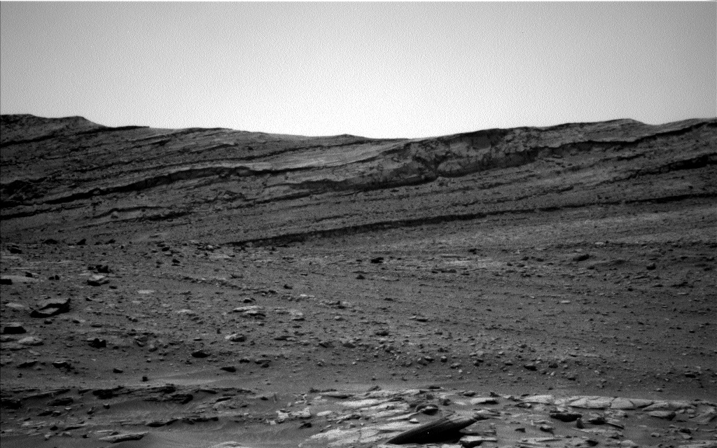
Further afield, Mastcam will image an area higher up in the uGVR with a 14x2 mosaic and ChemCam will target the “Kukenan” butte (shown here) with an RMI which may help characterise the stratigraphy in the butte.
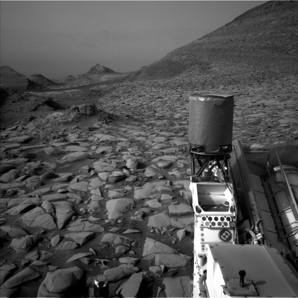
We are making our way back onto the MSAR (Mount Sharp Ascent Route – the path our science team working rover engineers have picked out as the best way forward), with more imaging and analysis of the upper Gediz Vallis ridge. The drive in this plan is a short one, as the terrain here is a bit on the tricky side (as shown in the accompanying Left Nav image) but the drive hopefully will place us on some cool targets for the weekend plan.
Written by Catherine O'Connell-Cooper, Planetary Geologist at University of New Brunswick


