Science Highlights
NASA's Mars Reconnaissance Orbiter has gathered and beamed back to Earth unprecedented details about the Red Planet's surface, subsurface, and atmosphere. Using this treasure trove of high-quality data, scientists have confirmed some previously held scientific theories about Mars, and turned others upside down.
Quick Facts
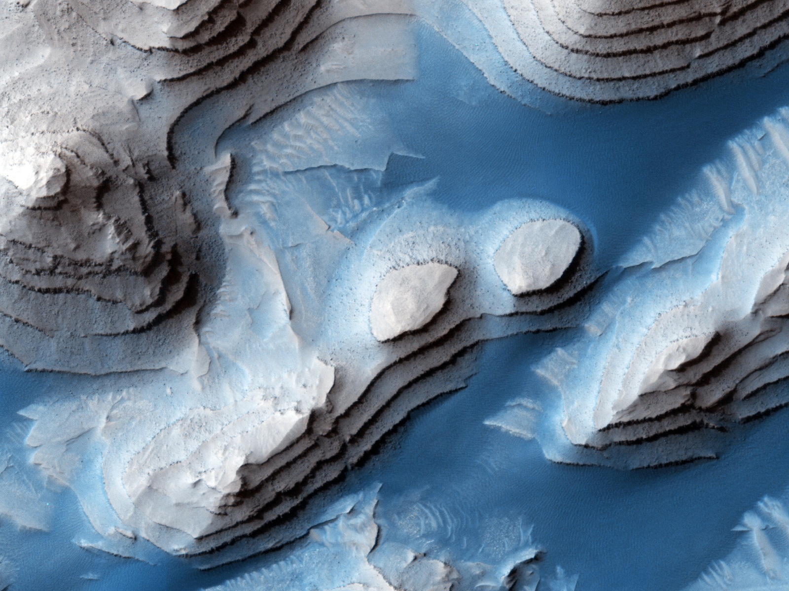
Multiple observations have dispelled any possible notion of Mars as a barren, static place. The Mars Reconnaissance Orbiter has found that throughout its history of more than 4 billion years, Mars has undergone numerous shifts and changes--in its atmosphere, surface, water flow, and ice formation. And these changes are still happening and visible today, with variations by day, by season, and by year.
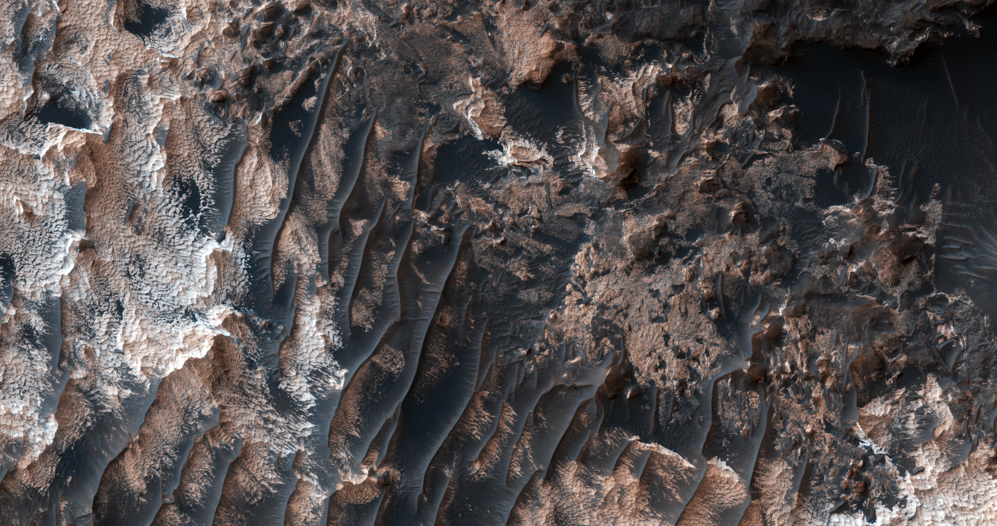
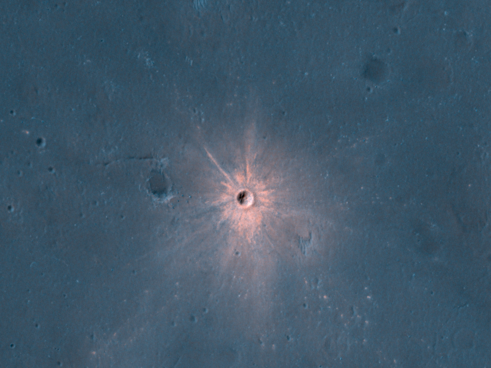
Thanks to its high-resolution cameras and lengthy observation periods, Mars Reconnaissance Orbiter has watched Mars change day-to-day and year-to-year, with shifting sand dunes, seasonal ice, and the appearance of dust storms, avalanches, new gullies, and craters. It is now certain that Mars is currently active and changing. The orbiter's observations of mineral composition and surface shape changes show evidence that water-related activities on early Mars lasted longer than believed, as the planet began to dry up.
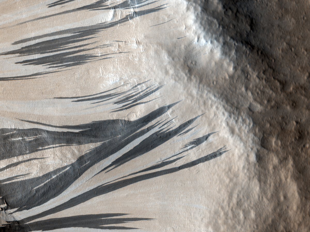
Even today, atmospheric winds and volatile frosts are still changing the surface. Scientists are piecing together a puzzle about seasonal, dark streaks called recurring slope lineae. These fingerlike features appear and disappear on some slopes during late spring through summer, then disappear in winter, only to appear again the following year. Scientists hope to determine whether the streaks are caused by thin films of liquid water that develop periodically, then vanish, or by seasonally varying winds. Near the limit of resolution from orbit, they continue to be observed for more clues.
Scientists had long suspected that Mars had two major epochs -- an early wet climate, followed by changes that led to the current dry, cold conditions, a planet supposedly locked in time. That major, possibly episodic, transition happened at different rates in different areas, as evidenced by diverse watery environments from runoff and groundwater. But thanks to Mars Reconnaissance Orbiter and other missions, we now know that Mars had a middle phase, a series of ice ages that came and went, most likely as Mars' orbital axis was tilted more or less than it is today over cycles lasting several hundred thousand years. Water ice then transformed from a solid directly to gas from the periodically warmer summertime polar caps and was transported to the rest of the planet, forming lower-latitude ice deposits. Today's mid-latitude ice deposits are thought to be remnants of that most recent ice age.
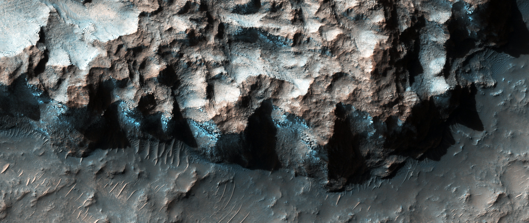
The orbiter's observations have confirmed that liquid water was present on the surface long ago and that some water activity persisted in Mars's "middle ages." By piecing together data and apparent patterns, scientists can better determine which areas on Mars were most likely to have been habitable for early microbes.
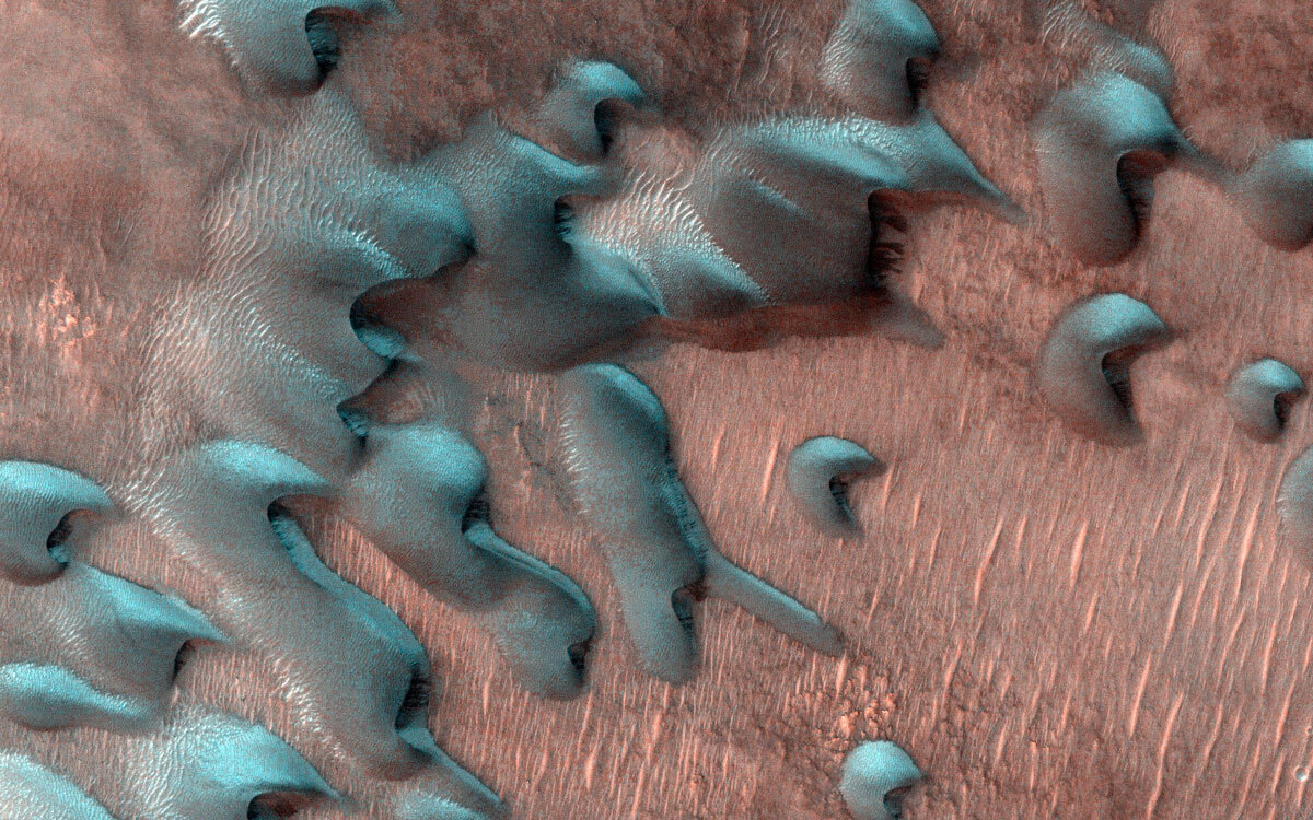
Mars Reconnaissance Orbiter has closely monitored Mars dust storms from year to year. The storms affect the atmosphere in many important ways. They speed water transport through a warmer middle atmosphere into the upper atmosphere, where it can be lost to space. The storms also affect the heat balance between the surface and atmosphere, and the timing of the seasonal frost's cycle of appearing and waning, especially in polar regions. Through daily observations, the orbiter has detected patterns for when and where dust kicks up and forms storms. Scientists are still studying what conditions trigger some local dust storms to expand regionally or even globally on Mars.
Mars windstorms are not unlike some regional wind patterns on Earth, such as the hot, dry Santa Ana winds that blast Southern California from time to time. Knowledge of Mars dust storms helps with planning activities for landers and rovers that face potential harm from dust fallout. The storms can hinder spacecraft operating on the planet's surface by coating solar panels and diminishing the ability to recharge batteries. Such Mars dust accumulation effectively ended the Opportunity and InSight missions, although only after several Mars years of productive activity.
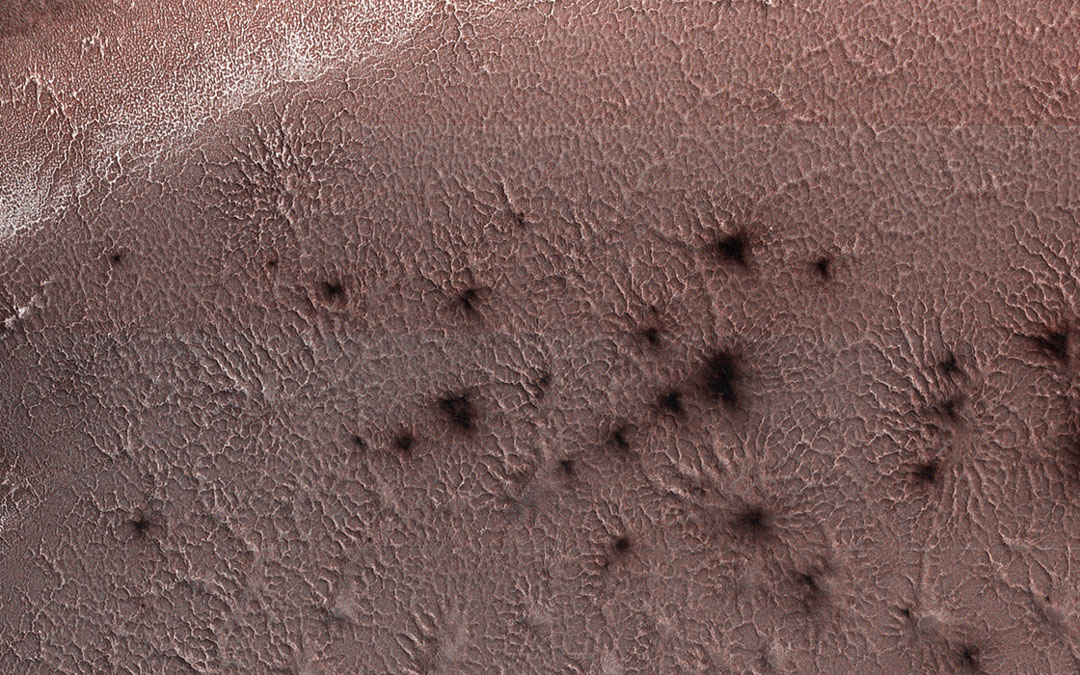
Knowledge about ice and water locations on Mars could be invaluable for planning future human Mars missions, since astronauts will need water for survival and oxygen for rocket propellant to return to Earth. This knowledge includes understanding significant carbon dioxide effects on the Martian atmosphere and surface. Mars Reconnaissance Orbiter has observed gullies that may have been etched by carbon dioxide (CO2) frost. Its radar has detected evidence of CO2 ice buried in layers at the Mars south pole. And the orbiter's high-resolution cameras have monitored interesting seasonal patterns of CO2 appearing and disappearing on the surface. Seasonal spider-like mounds with "legs" radiate outward from dark spots on the carbon dioxide ice covering part of the south pole area, when the Sun returns in Mars southern spring. Both water and CO2 ice behave on Mars like dry ice on Earth (going from a solid to vapor, instead of melting) but the spider process seems unique to Mars where the CO2 ice can have its crystals combine into a semi-transparent form under the right conditions there. Called "araneiform terrain," these spiders form when below-the-surface carbon dioxide is heated from sunlight passing through semi-transparent ice and changes from a solid to gas, trapped underground. When pressure builds, the gas erupts through the ice, carrying dust that settles into spider-like shapes.
If somehow all the carbon dioxide buried in today's Mars south polar cap were released, Mars' atmosphere pressure would double. The thin atmosphere is currently less than 1% of Earth's atmosphere and with pressures comparable to those in Earth's stratosphere. These conditions presented a special challenge to engineers designing the first-ever Mars helicopter, Ingenuity, and the same would apply for future Mars helicopters. Not only is the Mars air thin, but it varies up to 30% from season to season as CO2, its major gas, condenses onto the cold polar caps at night, only to sublime away the following spring.

