2 min read

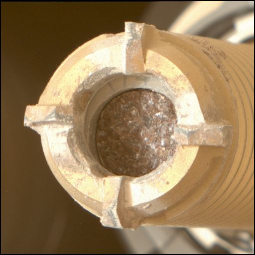
Today started off with the news that yestersol’s plan did not fully complete. There was an issue in the set of planned SAM activities that resulted in those activities not completing. While we diagnose the issue, we are taking a break from drill activities and filling the plan with lots of remote science.
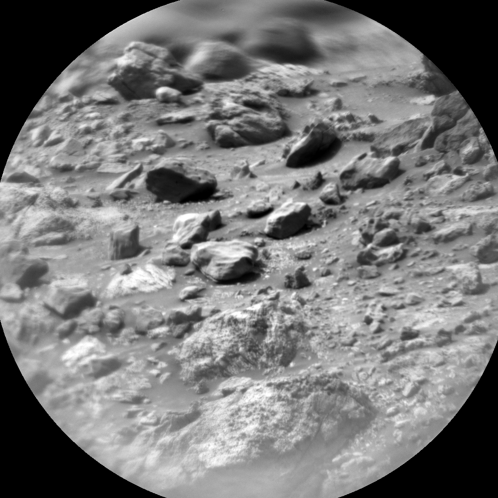
Part of the plan will include retaking observations that did not complete on sol 2537. This includes ChemCam LIBS observations of “Peeblesshire,” “Perthshire,” and the offset from the “Glen Etive 1” dump pile. Peeblesshire and Perthshire are both pebbles near the drill site.
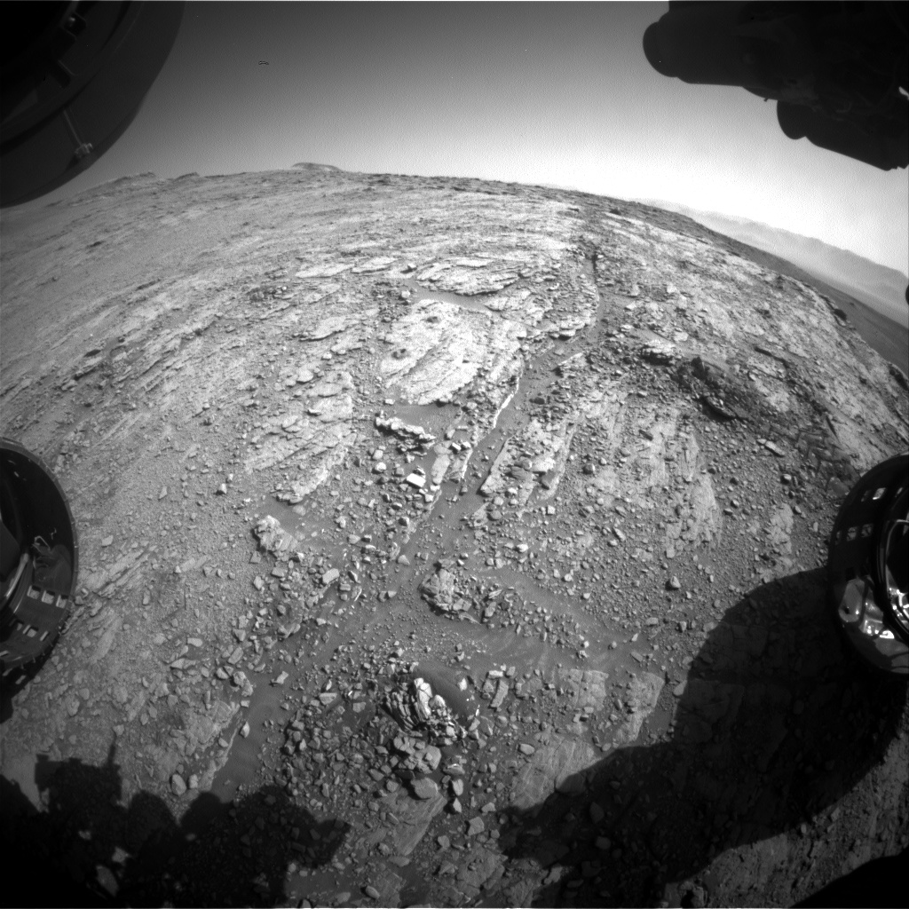
Additionally, the plan includes a ChemCam LIBS observation and a corresponding Mastcam image of “Stove,” which is a target located between the two drill locations. There will also be a Mastcam mosaic of Mt. Sharp that will be taken late in the day to test what the best time of day is for these observations. “Stony Side” is a ChemCam RMI mosaic that is pointed back towards Vera Rubin ridge to capture an outcrop that is along the edge of the ridge.
There will also be a dust devil movie, a supra-horizon movie for cloud monitoring, a line-of-sight observation, and a cloud altitude observation. Several Mastcam observations are included to estimate the amount of dust in the atmosphere: a tau observation and a crater rim extinction observation. There will also be a phase function sky survey, which is used to measure the angular scattering of light by clouds. Observations such as this one help us to constrain the shape of the ice crystals in the clouds.
Finally, today’s plan includes ChemCam RMI sky flats. This is a routine observation to check for dust on the ChemCam optical window.
Hopefully this will be a brief intermission and we will be back to drill analysis activities in the weekend plan!
Written by Kristen Bennett, Planetary Geologist at USGS Astrogeology Science Center


