3 min read

In a sedimentary environment, the principle of “superposition” specifies that lower rock layers were deposited earlier than the layers above them. In other words, time effectively moves forward when traversing “up-section” (traversing to higher rock layers). That’s the direction that Curiosity has been moving, having traveled nearly 400 meters upwards from its landing site, so the rover is exploring rocks laid down more and more recently, though still a long time ago. Sometimes the rock record has an abrupt change due to missing rock layers that weathered or washed away before the next rock layer was deposited. The abrupt change in rock layers is called an unconformity. Curiosity observed a prominent unconformity earlier in the mission (in 2016) at and near Murray Buttes, which consist of sandstone made from sand that originally accumulated in the form of dunes. Murray Buttes, part of the Stimson formation, were deposited on top of flat-lying layers that were laid down in a lake. After the lake disappeared, the lacustrine layers were eroded down and then the sandstone of the buttes was deposited on top of the eroded layers. We do not know how much time passed between the lake era and the appearance, and eventual lithification (solidification) of the dune material.
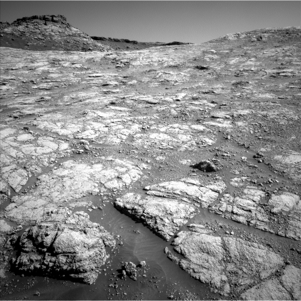
Curiosity is approaching another unconformity—or maybe it is a distant part of the same one. A large sloping surface called Greenheugh pediment looms ahead, past Western Butte. Its surface, and the unconformity just below it, can be seen in the upper left of this image. Part of the exploration of Central and Western buttes is to determine their relationship to the unconformity.
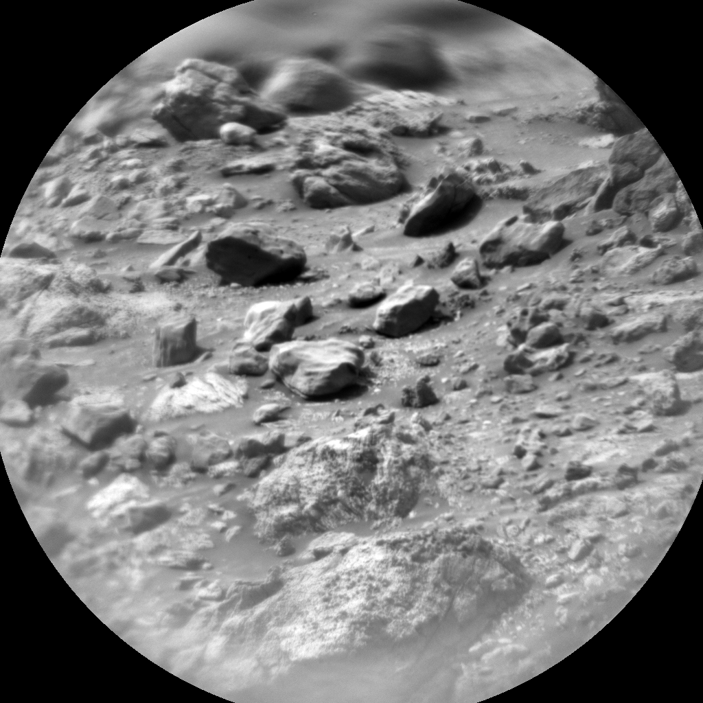
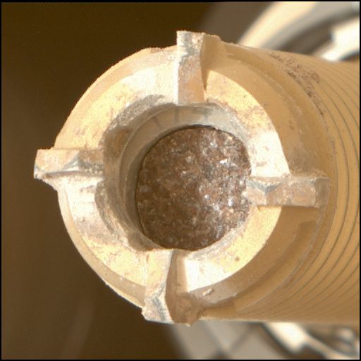
In today’s plan APXS, MAHLI, and ChemCam will be observing “Renfrewshire,” which is a knobbly bedrock. MAHLI’s images of that target consist of 5 cm stereo images as well as a 25 cm image. MAHLI will also take three images of “Tillietudlem” at 15 cm distance. ChemCam will do two more 10x1 LIBS line scans of “Barns Ness” (another knobbly bedrock) and “Bearreraig” (a dark area along a potential fracture). ChemCam will finish up with a single RMI image of “Ardvreck” to study its sedimentary structure. Mastcam will take a 9x2 mosaic to document these targets, a multispectral image of “Glen Trool” (bright area under the butte’s capping unit), and an 11x2 mosaic of Western Butte. Near the end of the day, there is a drive planned for 45 meters, with post-drive images by Navcam, Mastcam, and MARDI.
On the second sol of this plan, ChemCam will do an AEGIS autonomous target selection and observation at the new rover location. There will be a 20 minute DAN active observation, a dust devil survey, a crater rim extinction image, and daytime and sunset tau observations. There is also a DAN passive observation and REMS and RAD will take data. Early on the morning of the third sol, the rover team is planning a SAM scrubber cleaning activity that takes several hours; it is being done to prepare for upcoming SAM analyses.
Written by Roger Wiens, Geochemist at Los Alamos National Laboratory


