2 min read

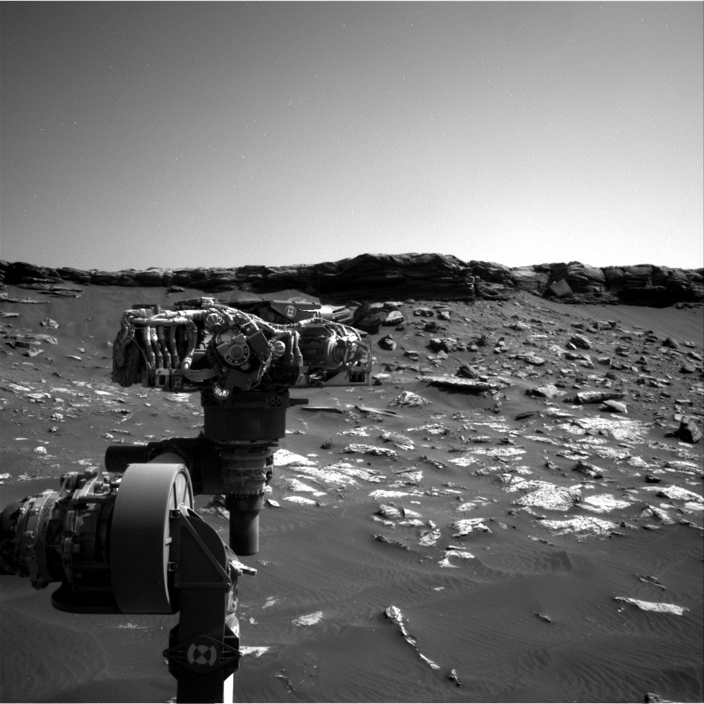
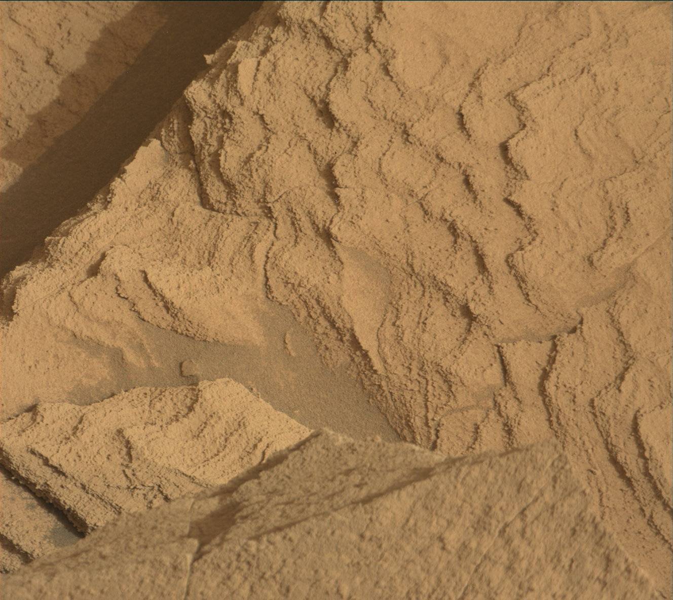
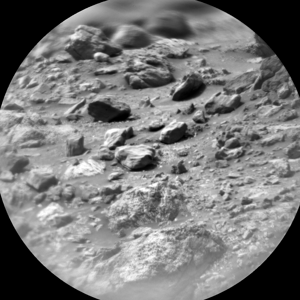
The plan for Sol 2740 and 2741 is focused on diagnosing the issue with MAHLI, but while we are sitting in one place, we will also collect plenty of remote sensing data of the area around the rover. On Sol 2740 MAHLI will close its dust cover while Mastcam takes a video, and then both Mastcam and Navcam will take some follow up images once the cover is closed. Once that is done, ChemCam will observe the targets “Beinn An Dudhaich,” “Peach,” and “Edina.” That will be followed by a bunch of atmospheric observations: Navcam will look at atmospheric dust toward the northern horizon and will then search for dust devil activity. Navcam will also take an “upper tier” mosaic to be able to see all of Mount Sharp. Mastcam will then also look toward the crater rim and at the sun to measure dust in the atmosphere. SAM will also make an atmospheric observation on Sol 2740.
Sol 2741 will start with another Navcam image to the north, followed by a 10 frame ChemCam RMI mosaic of part of the pediment cap called “Ogre Hill.” Mastcam will take a 3 frame mosaic of the same area, plus a 2-frame mosaic of the ChemCam LIBS targets from the previous sol. Finally, Navcam will take a 3 frame mosaic of the rover deck to see how dusty things are getting.
Written by Ryan Anderson, Planetary Geologist at USGS Astrogeology Science Center


