2 min read

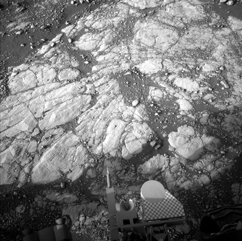
Today the MSL team planned initial activities at the next planned drill site, "Glasgow." The plan for today is to gather science data about the site before drilling. This is very similar to what a field geologist on Earth would do. Before gathering a sample, geologists must first:
1. Determine what rock they want to sample,
2. Find the best location for sample collection, and
3. Record all relevant field observations/data in a standard field notebook.
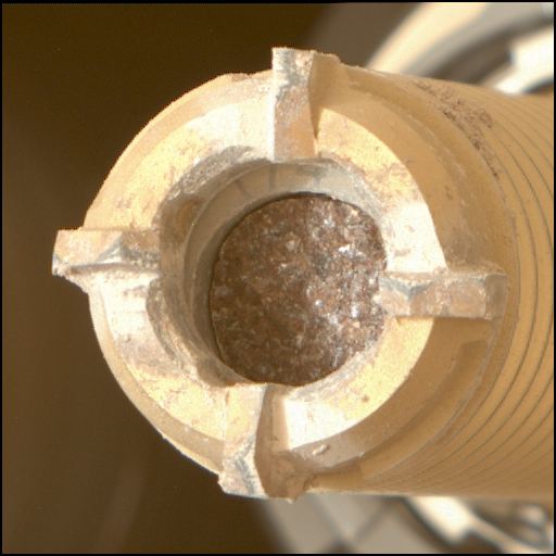
Despite the closest human geologist being over 186 million kilometers (115 million miles) away, our curious little robotic geologist has all the tools necessary to do a similar assessment on Mars (with a little help from some humans on Earth). In the case of Curiosity's current drill campaign, we had already determined which rock type we wanted to sample for this drill campaign and identified and drove to the location where the best sample could be obtained. Now, since JPL decided to not send a good ol' fashioned pencil and field notebook to Mars (tsk! tsk!), we'll instead store our data in the onboard computer and then transmit it to Earth. That way those ever curious human geologists can "get their hands dirty" analyzing what will be a LOT of new data about our drill site!
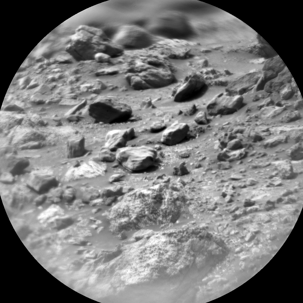
So today ChemCam, APXS, and Mastcam are measuring the composition of the drill target Glasgow, and MAHLI is taking images of this target before and after removing dust in order to document the rock surface prior to drilling. ChemCam will also target "Dalmellington Burns," "George Square," and "Large Island" for additional geochemical context of the drill area while Mastcam documents each of these targets with beautiful images. APXS will also look to the sky to measure atmospheric chemistry. Additionally, Mastcam will take a 360° mosaic, REMS, DAN, and RAD will provide remote sensing measurements of the atmospheric and subsurface environment, and Navcam will search for atmospheric dust, clouds and dust devils. That should be enough data to satisfy any geologist!
Written by Sean Czarnecki, Planetary Geologist at Arizona State University


