2 min read

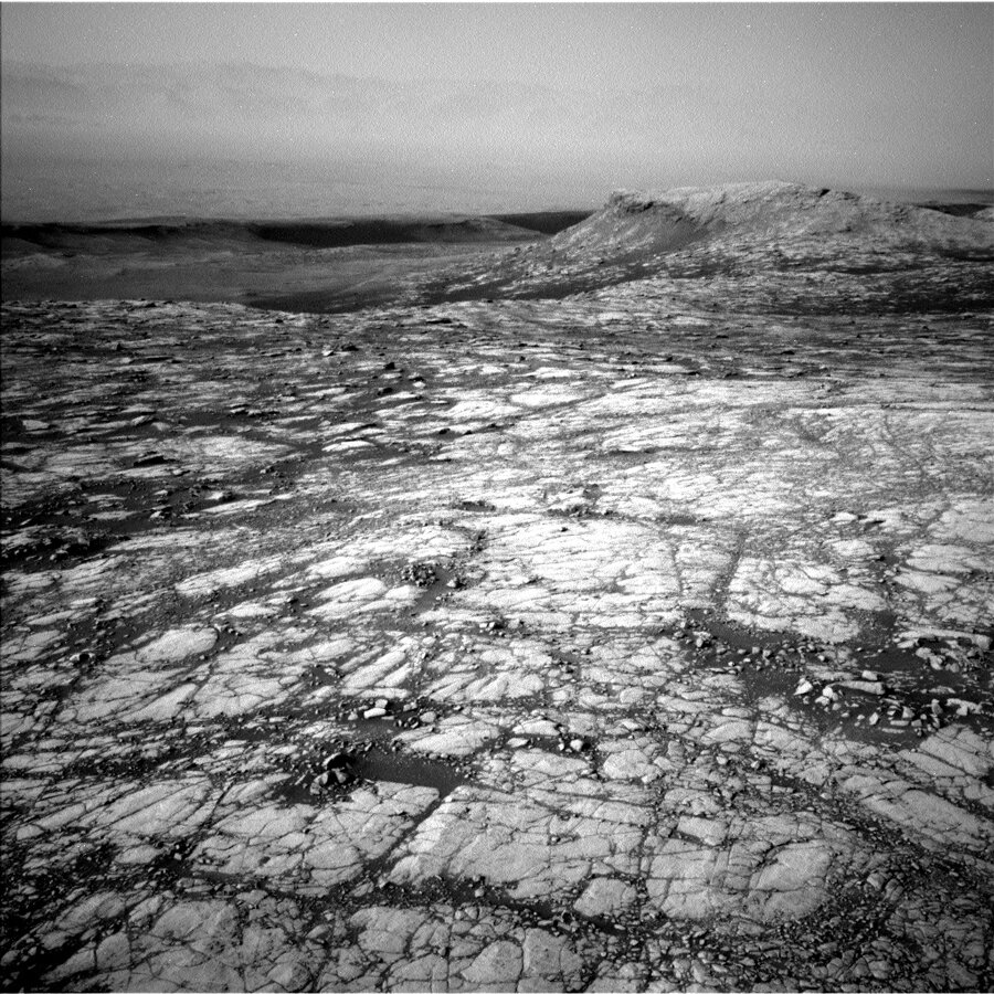
Today’s plan marks the start of our more than 1.5 km traverse to the next major unit of Mt. Sharp, the “sulfate-bearing” unit. During this traverse the focus will be on driving as far as we can each sol, but we’ll still be doing plenty of science along the way.
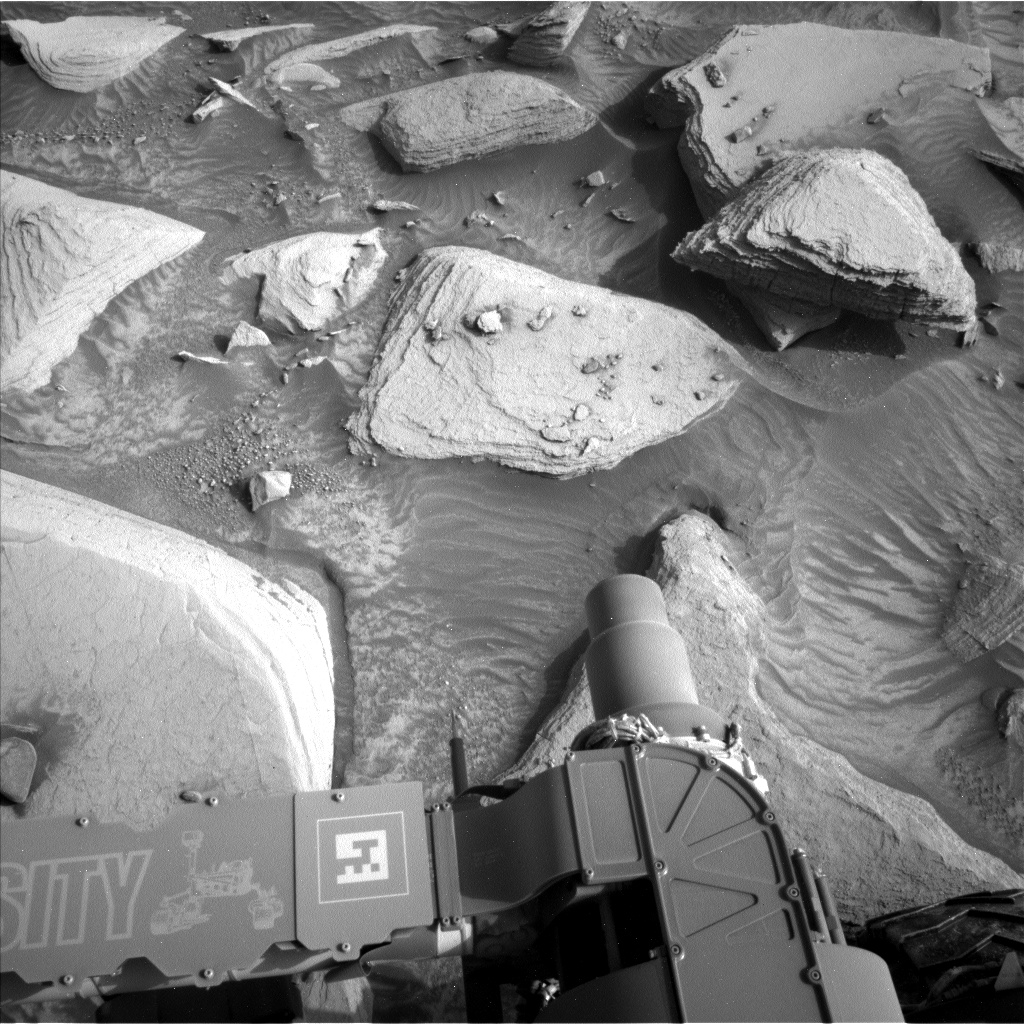
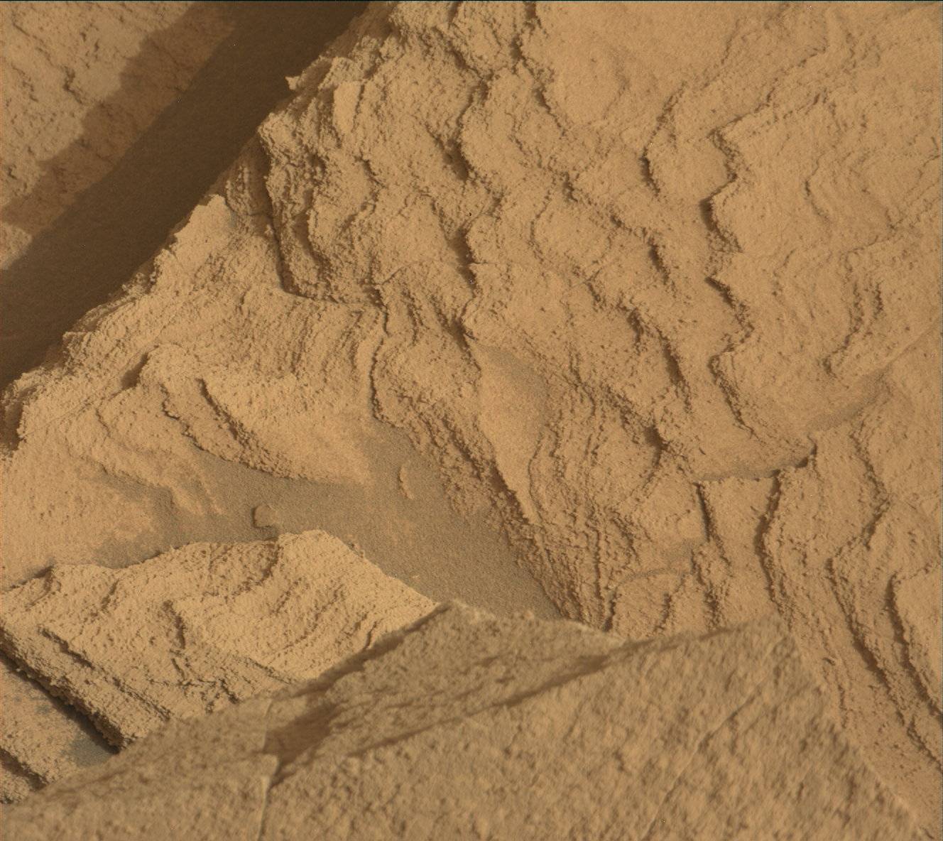
Sol 2781 begins with ChemCam observations of smooth bedrock at the target “Beaconsfield” and nodular bedrock at the target “Pict.” Mastcam will then document the ChemCam targets and collect a stereo mosaic of some nearby polygonal patterns. Navcam will then study atmospheric dust and take a mosaic of the rover deck.
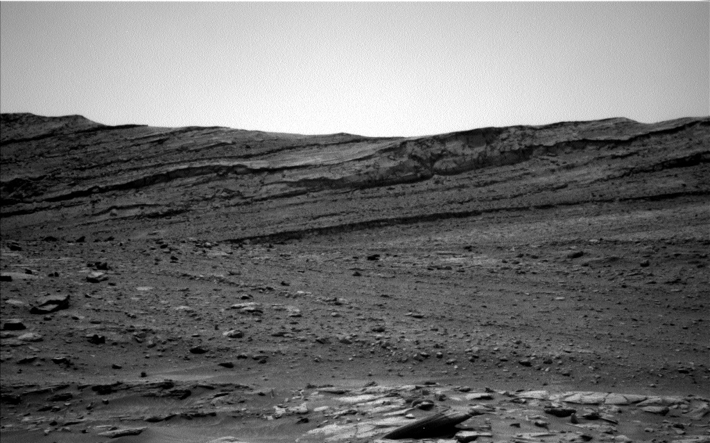
After that the rover will drive as far as possible, first using our usual driving mode and then using the rover’s “autonav” capability. Autonav uses the onboard computer to map the terrain so the rover can carefully continue driving farther than our current images can see well. It has been a while since we used autonav, but we’re using all the tools at our disposal to make progress toward the sulfate unit. Navcam will take some images during and after the drive. After the drive Mastcam will make some atmospheric observations and take an image of the ground to monitor soils and rocks as we drive. MARDI will also document the ground beneath the rover.
On Sol 2782, Navcam will observe the rover deck again, as well as watch for dust devils, and ChemCam will make an autonomously targeted observation. Finally, CheMin will do an overnight observation of an empty cell (this gives a baseline to compare with when analyzing samples later on).
Written by Ryan Anderson, Planetary Geologist at USGS Astrogeology Science Center


