2 min read

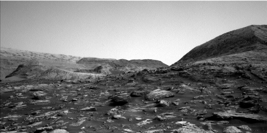
As much as the science team loves seeing Mars up close, sometimes the view isn't quite as pretty for the engineering team. As the rover gets closer to hills or cliffs, like "Bloodstone Hill" that we just left, we encounter boulders that have rolled downslope (as they are wont to do), creating visual obstacles in our path. It's also the case that sometimes Mars makes bouldery landscapes, like when we drove up towards Vera Rubin Ridge. The path ahead is very similar to that. Rover planners only want to drive where they can see in the navigation images from the Mars surface. The area that is visible from where you are is called a viewshed. You can imagine that for a big rock, if you're standing several meters away, you only see one side of it. For moving the rover, you don't want to "drive around a corner" and find yourself staring over a cliff, driving over pointy rocks, or ending up embedded in sand! Granted, we can see a lot of martian terrain from satellite imagery, but since there's no tow service or garages in Gale Crater, we have to be cautious. All that said, our next drive will be only about 15 meters, so we can get a better view for a longer drive in the next planning cycle.
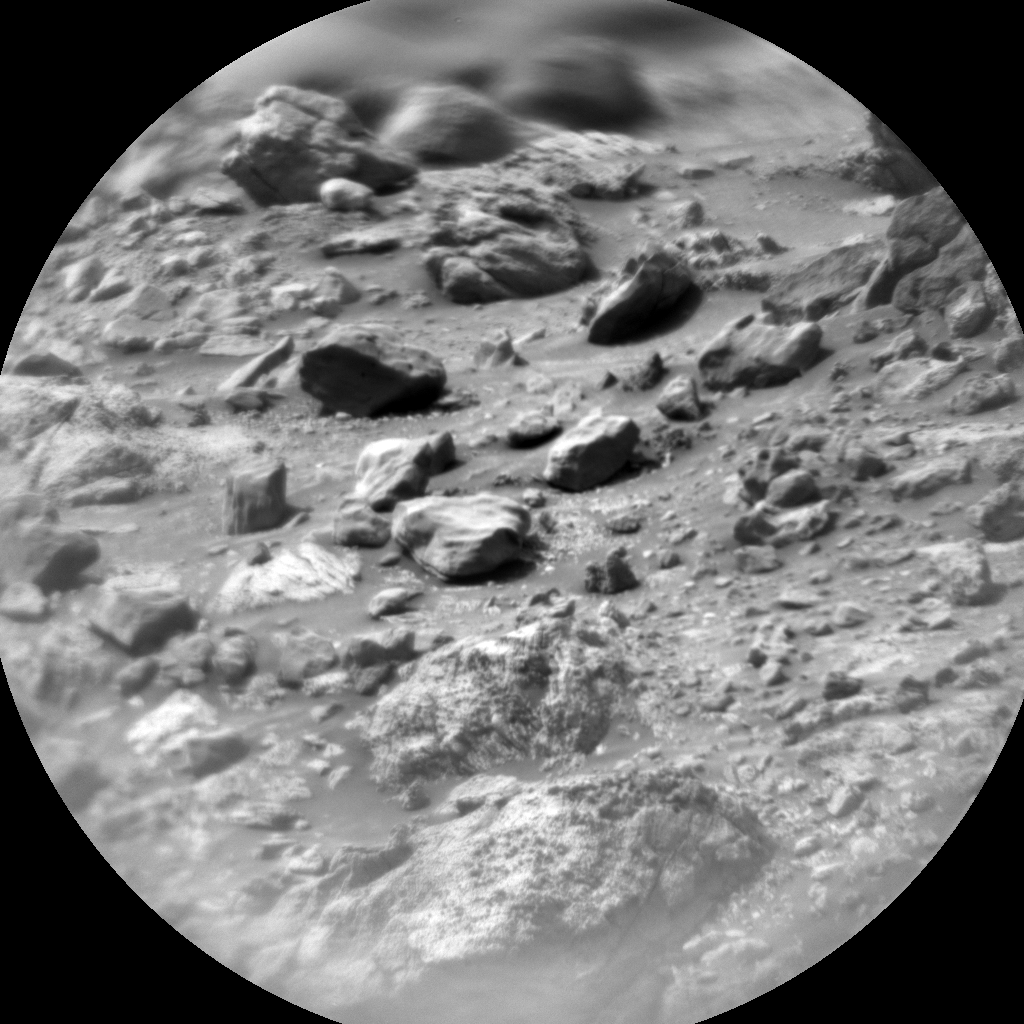
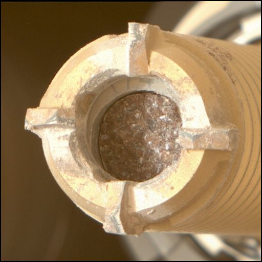
On Sol 2803, we'll scope out some of the local bedrock at the outskirts of Bloodstone Hill with ChemCam on "Powburn," "Hunterian," 'Earl's Palace," and "Otterburn" with accompanying Mastcam images. The rover arm will be deployed to get some APXS chemistry, microscopic views with MAHLI, and Mastcam images on "Capercaillie," a rock with multiple layers. Despite not being able to see too far ahead, we'll still take some Mastcam mosaics of polygonally fractured bedrock and a look back at Bloodstone Hill. Environmental monitoring will include a line-of-sight view and dust devil search movie with Navcam. After a short drive on Sol 2805, we'll take some views ahead and do a Mastcam clast survey, looking at the pebbles on the ground.
Here's to an expansive view of the road ahead!
Written by Fred Calef, Planetary Geologist at NASA's Jet Propulsion Laboratory


