3 min read

Curiosity is going downhill. Not in the figurative sense—Curiosity’s 10 instruments all still work well, its six wheels are all doing well, and the drill has been working great for the last two years as well as earlier in the mission. Okay, the rover’s power output is somewhat lower than when it started but, all in all, Curiosity is doing great. No, Curiosity is just heading to a slightly lower elevation, to look for a location to potentially drill at least one more sample in the clay unit. Clay beds tend to signal habitable environments where water was present for a long time and they also tend to be good at preserving organic materials. This drive is part of our “summer road trip” towards the sulfate unit, and will allow the team to potentially get another sample of the clay-rich region while Curiosity still has the opportunity (no pun intended).
Because Curiosity’s route has generally ascended Mt. Sharp, downhill drives of this magnitude have been rare. A little over two years ago Curiosity drove back down the front (north) side of “Vera Rubin ridge” (VRR) to pick up a drill sample of the “Blunts Point” member of the “Murray formation.” Early in 2019, Curiosity drove down the back (south) side of VRR into the clay unit, which is a slight depression in the side of Mt. Sharp. And more recently, Curiosity has driven down from some buttes and down from a short excursion on “Greenheugh Pediment.” Other than that, Curiosity has been climbing most of the time.
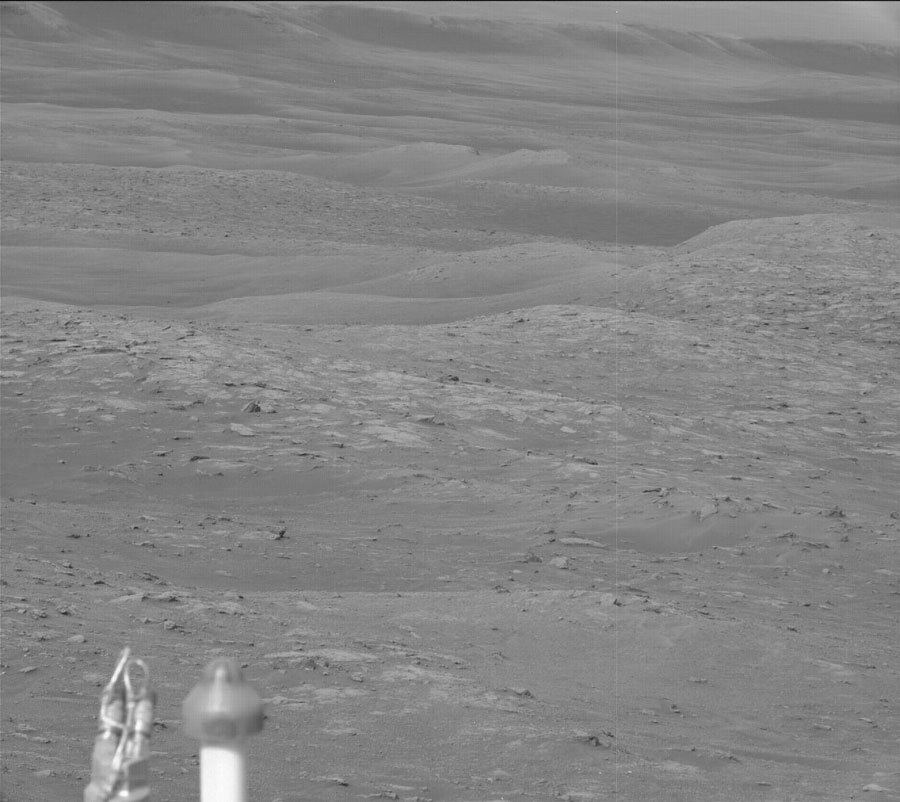
In the last several sols, Curiosity has already descended about 16 meters in elevation from its earlier perch on “Bloodstone Hill.” The accompanying image shows the view looking downhill across the clay unit, with VRR in the background.
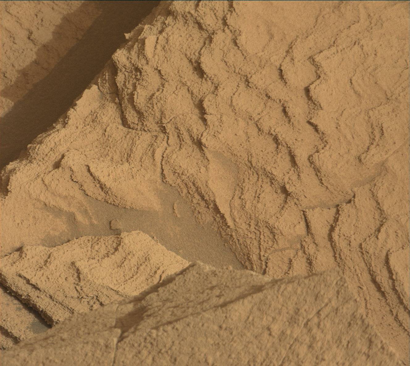
In this uplink plan Curiosity will do several observations at its current location, then do a relatively long drive on the second sol, followed by additional observation activities. ChemCam and Mastcam will make observations of bedrock targets “Caldback” (rubbly textured) and “Portencross” (smooth). Mastcam will also take stereo images of pebbles and of “Windy Gyle,” an outcrop to the east. Curiosity will then take its drive (hoping to go a distance of over 100 meters) combining an initial drive on terrain we can see with autonomous driving in the later part on terrain we haven’t yet imaged. The drive will be followed by a Sun tau observation by Mastcam and by post-drive image documentation. MARDI will take an image of the ground at twilight.
On the second sol, ChemCam will make a passive observation of the sky to measure its dust and water-vapor content, and will make an observation of a bedrock target selected autonomously by the rover. RAD, REMS, and DAN will continue taking data. Navcam will take a suprahorizon movie, and Mastcam will take another Sun tau measurement to check atmospheric dust.
Written by Roger Wiens, Geochemist at Los Alamos National Laboratory


