3 min read

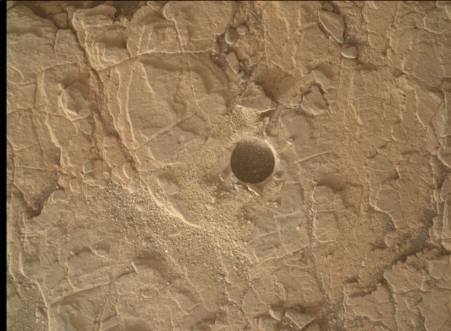
Tosol’s planning session began with discussion of recent images of the "Mary Anning" drill hole, which sparked the team’s interest for both scientific and operational reasons. Over the last few sols, images (like the one shown above) have revealed that wind is steadily eroding the fine material that originally surrounded our drill hole, providing observational evidence that we have once again entered the windy season here in Gale crater. As exciting as this is for those of us who study wind and have been patiently awaiting the return of the windy season, it is also important for the operations team. When we determine that wind is blowing material around on the surface, certain steps need to be taken to ensure safe and successful data collection. Timely assessment of wind activity is especially valuable when we are trying to study fine material that is susceptible to being blown away, both because wind-induced movement can impact our measurements but also because we don’t want any material blowing onto our instruments when we put them in close proximity to the surface. As a major component of today’s plan was to create and analyze a dump pile of fine drilled material, the team had to carefully consider the wind conditions and adjust the plan accordingly.
But a little wind wasn’t going to deter us. The team pushed on, scheduling almost two hours’ worth of science observations aimed at studying features both near and far. Within the immediate workspace, efforts will focus on the drill hole and the dump pile that will be created on the first sol of the plan. The drill hole will be targeted with the ChemCam LIBS instrument and imaged with Mastcam in order to confirm that the laser hit the intended target. This Mastcam image will also be added to the set of drill hole images we’ve already acquired, allowing us to continue monitoring wind activity here. Similarly, a single Mastcam image of the rover deck (which is acquired regularly by the team) will be used to track wind-induced accumulation of sand on the deck. The dump pile will be studied with Mastcam multispectral images, as well as with APXS and MAHLI, but the closest-approach MAHLI images will be taken with the cover on in order to keep the camera safe from wind-blown material. A ChemCam depth profile observation and Mastcam documentation image will also be acquired on target Ayton, which is located on the same bedrock slab as the drill hole and dump pile.
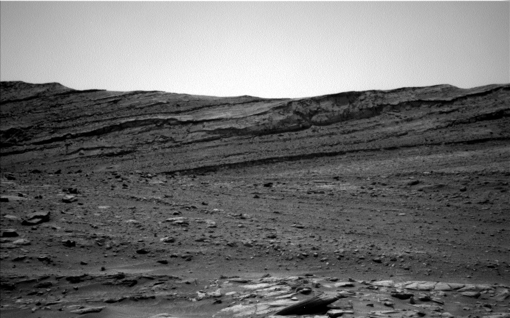
Two distant targets also captured the team’s attention: a light-toned area of the Vera Rubin Ridge will be analyzed with a Mastcam multispectral observation and a long-distance ChemCam RMI, and Mount Sharp’s sulfate unit will be targeted with a second long-distance ChemCam RMI. Three Navcam observations aimed at assessing dust and cloud activity (a dust devil movie, a line-of-sight image, and a suprahorizon cloud movie) were also included in this large science block. Two additional environmental observations, a Mastcam tau image and a Navcam zenith movie, were also planned for later in the day when lighting conditions were more optimal.
Although uncontrollable factors such as wind can pose an additional challenge for rover operations, it’s nothing we can’t handle. Doing science on another planet often requires adapting to quickly-changing conditions, and the rover team is very accustomed to working around whatever is thrown – or blown – at us.
Written by Mariah Baker, Planetary Geologist at Center for Earth & Planetary Studies, Smithsonian National Air & Space Museum


