3 min read

The last time I contributed to this blog (Sols 2933-2934), we were on rubbly terrain, and here we are again. Curiosity has had no trouble traversing rubbly Glen Torridon material, and our current terrain is no exception. We have made good progress since leaving the resistant bedrock benches and Curiosity is currently driving along the transition between what appears to be smoother material from orbital imagery and blockier, more resistant material to the south (see Where is Curiosity?). The workspace tosol is in the smoother material, ~25 m from the blocky terrain. The science team is interested in documenting any changes in chemistry and texture as we drive from the smoother material, up on to the blockier material and as we near the sulfate unit higher up on Mount Sharp, so this is an important pit stop along our traverse.
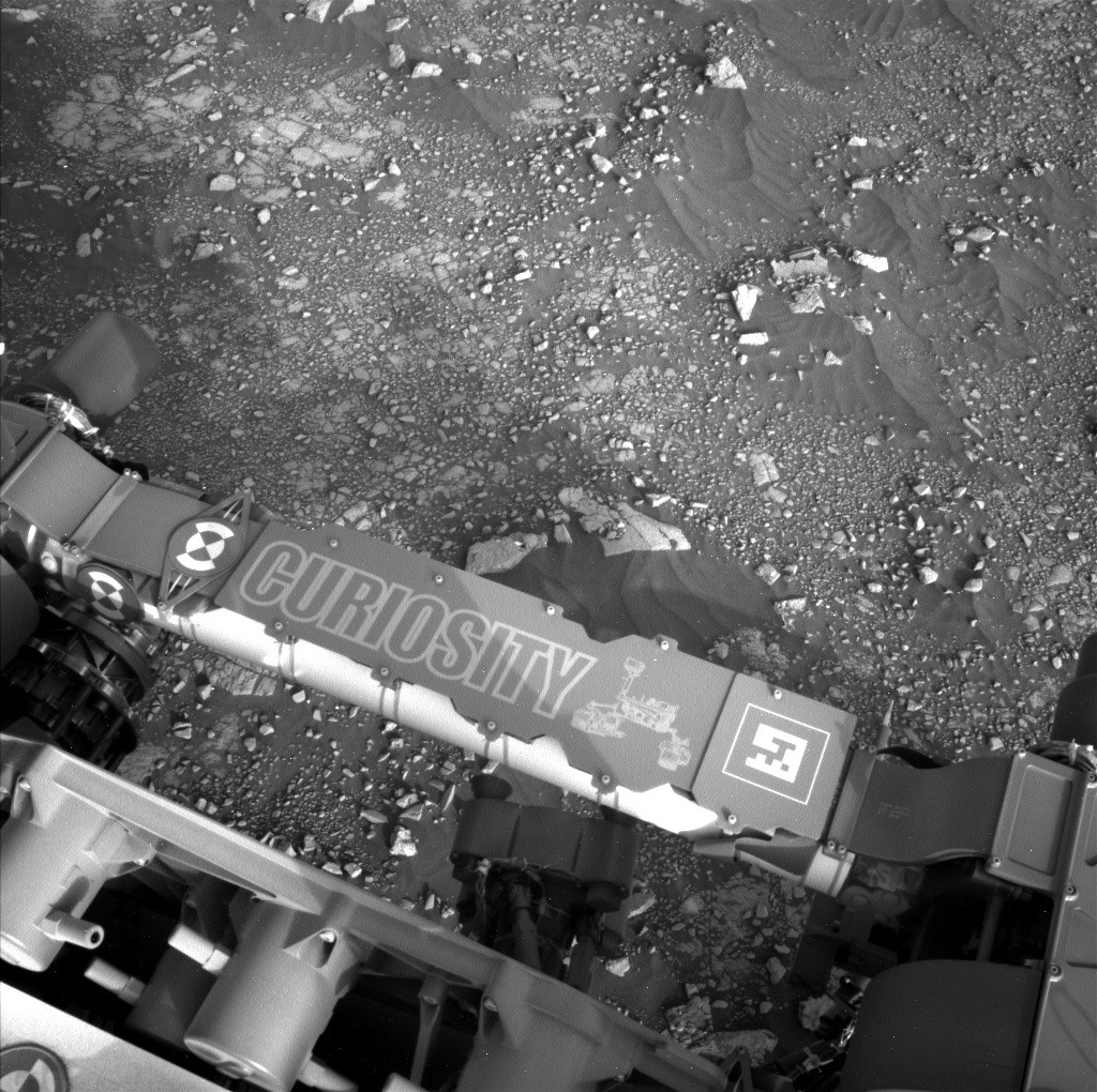
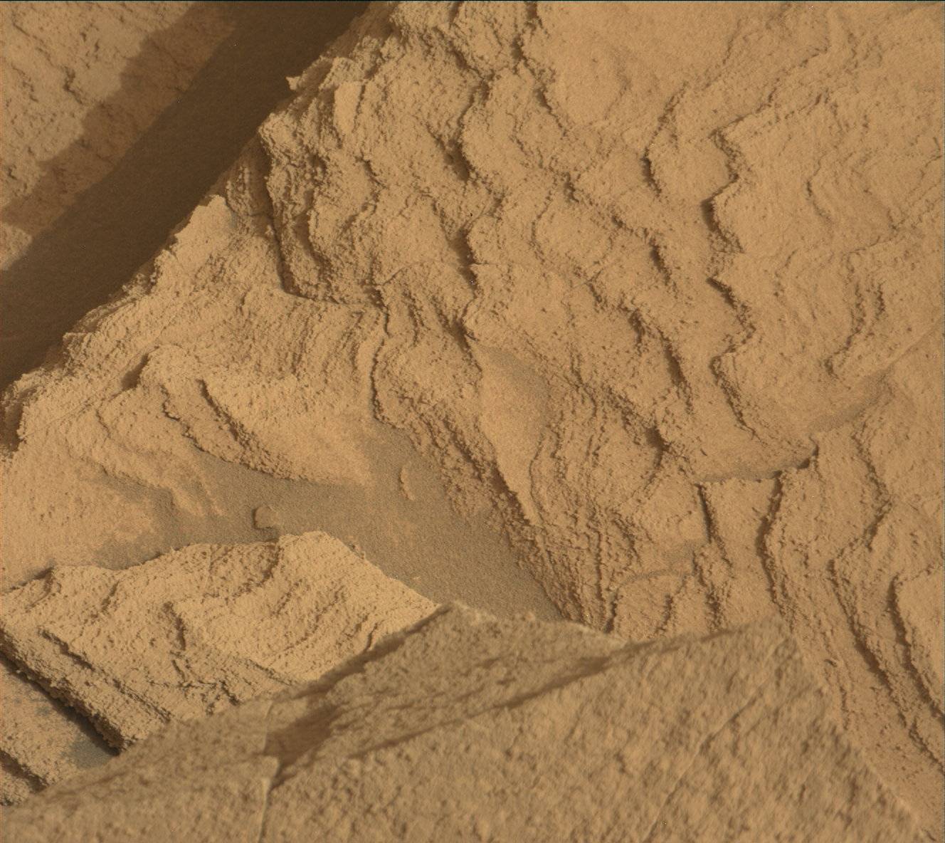
As the APXS Payload Uplink-Downlink Lead (PUDL) today, I was responsible for checking the APXS downlink from our previous plan, and then helping to plan and uplink the APXS measurements on two slightly different textured rock targets “Auchnafree Hill” and “Coupar Angus” in our current workspace. MAHLI will take close-up images of both targets and ChemCam will also investigate the Coupar Angus target. We will be able to compare the composition and texture with other rocks from previous rubbly terrains within Glen Torridon, as well as with the upcoming blockier terrain. We also planned ChemCam LIBS measurements and accompanying Mastcam documentation imaging of the “Ayre of Tonga” and “Ocraquoy” rock targets. The Ayre of Tonga target appears to be equivalent to the Auchnafree Hill APXS and MAHLI target, and the Ocraquoy has a similar dark, nodular texture to recent ChemCam/APXS targets “Ben Hee” and “Achnasheen.”
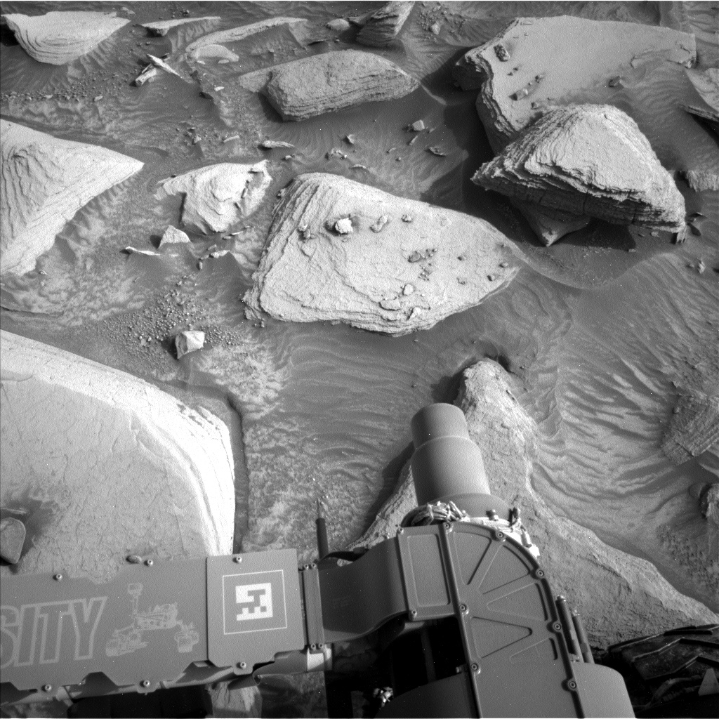
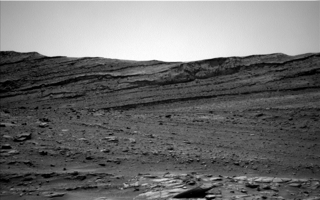
The science team also planned three Mastcam mosaics. The first is to document the transition between the smoother and blockier, more resistant terrains ahead of us. The second is to continue the investigation of periodic bedrock ridges that we have observed throughout the Glen Torridon region. The third is to document sedimentary textures in the near field of the rover. A Mastcam image will also be acquired of the rover deck.
The planned drive tosol should take us right to the contact between the smoother and blockier terrains, and the ramp that we are going to drive up in order to access the blocky material. To give us a hint at the chemistry of the rocks at the end of the drive, a post-drive ChemCam AEGIS observation will be acquired. A planned post-drive MARDI image will also give us a sense of what the ground beneath our wheels looks like.
The environmental group was also busy planning observations of the atmosphere. These include a Mastcam basic tau mosaic pointed towards the sun, Navcam suprahorizon and dust devil movies, and Navcam line of sight observation and dust devil survey images. Standard REMS, RAD, DAN passive and active measurements are also planned. A SAM atmospheric QMS-TLS run is also included, and CheMin are downlinking full frames from their analysis of the “Groken” drill fines, in order to refine their interpretation.
Written by Lucy Thompson, Planetary Geologist at University of New Brunswick


