2 min read

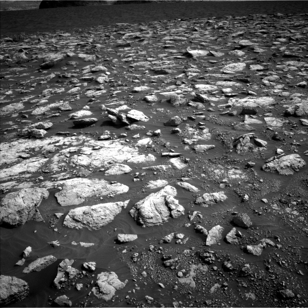
With the successful completion of Monday’s drive, Curiosity has entered a new geologic unit that is characterized by a particularly rubbly surface texture, as seen the Navcam image above. From orbit, this distinct geomorphology is also accompanied by a unique spectral signature, which piqued the team’s interest and motivated a short contact science stop within this unit. The ground truth data acquired during this stop will be crucial in determining why the rocks here look so different from others we have encountered along the traverse. Luckily, today's plan included two hefty 2-hour-long science blocks and no drive, which will allow us to collect double the data at this unusual stop before the rover drives away.
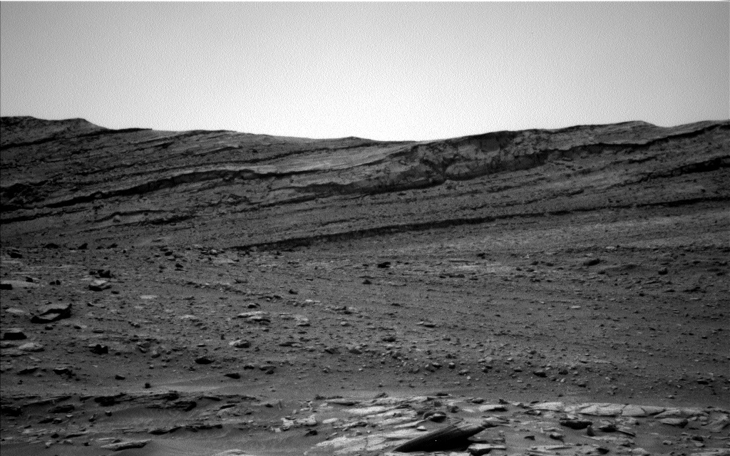
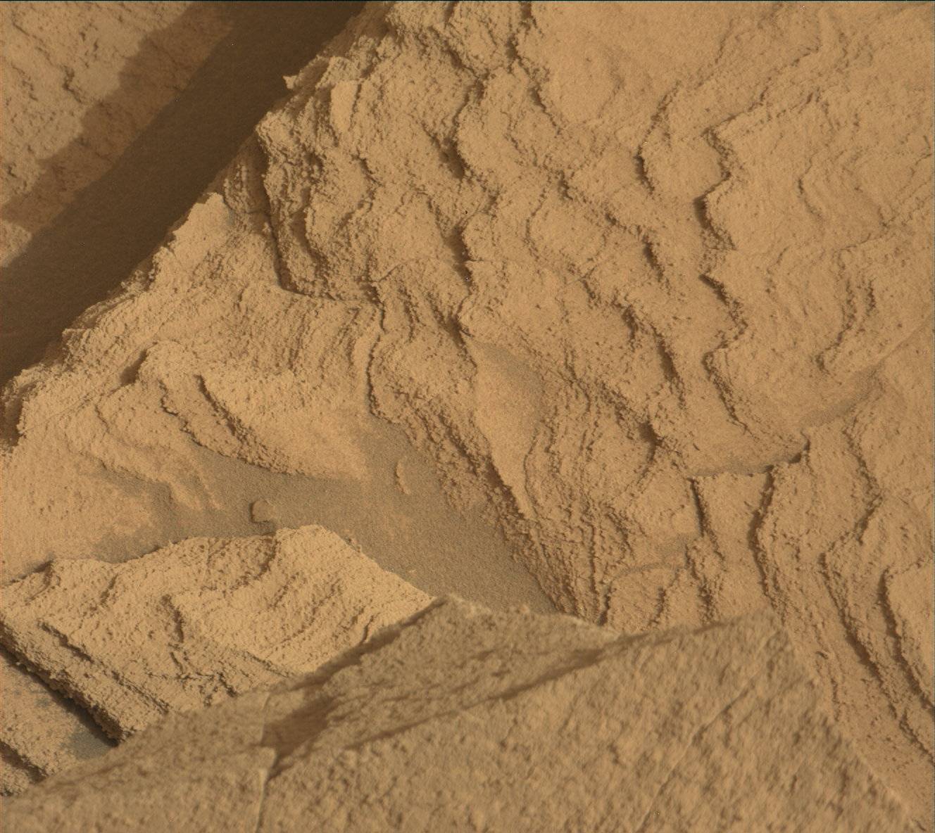
Full contact science with APXS and MAHLI was planned for a pair of targets, “Cod Baa” and “Carn Mor” (with a bonus MAHLI observation on “An Dun”), and the dual science blocks were filled to the brim with remote science activities. ChemCam LIBS measurements and Mastcam documentation images will be acquired on bedrock targets “Cod Baa,” “Northmavine,” and “St Abbs,” as well as soil target “Houster.” Four Mastcam mosaics will provide extended coverage of nearby rock surfaces and sand ripples, and two long distance ChemCam RMI observations will allow a closer look at distant rock outcrops. Two Mastcam multispectral observations will also provide additional data on the rubbly surface around the rover. Along with acquiring data on the local geology, the team also planned a large set of observations aimed at studying current environmental conditions. The first science block will include Navcam zenith and suprahorizon movies, a Mastcam tau image to measure atmospheric dust levels, and a Navcam image of the rover deck to monitor wind. The second science block will include two Navcam line-of-sight observations, a Navcam dust devil survey, and a Mastcam image of the crater rim, all of which will help assess ongoing dust activity. After two busy sols of science, the rover will continue to drive even further into the rubbly terrain on her way to a large sand sheet just south of our current location (seen in the background of the Navcam image above).
Written by Mariah Baker, Planetary Geologist at Center for Earth & Planetary Studies, Smithsonian National Air & Space Museum


