2 min read

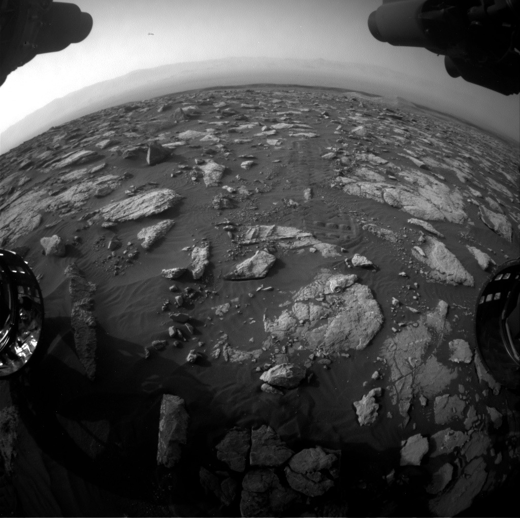
After each time Curiosity finishes a drive, the science team eagerly awaits the downlink of what is termed “post-drive imaging,” or PDI, to visualize our surroundings and to target areas of the surface for investigation. Sometimes, the expected PDI downlink is delayed, which can happen for a variety of fairly benign reasons related to hiccups in the communication pipeline (speaking with Mars can be challenging!). Today, unfortunately, was one of those days. The team didn’t get all the data down that they wanted, including imaging data that we need to plan our next drive. This means that the science team was tasked with planning several “untargeted” scientific investigations that do not rely on detailed positioning information and targeting data. Our next drive will wait until the next planning cycle.
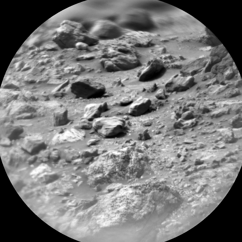
Despite this “hiccup,” the science plan is full of some important activities. For example, we will be acquiring four sets of ChemCam LIBS chemistry observations of the surface using the Autonomous Exploration for Gathering Increased Science, or AEGIS, targeting system. This is a remarkable piece of software that allows for ChemCam to automatically identify targets of interest and acquire data without the need for human involvement. We will also be acquiring two sets of calibration observations for the ChemCam instrument - one “passive” set that only uses the instrument’s point spectrometer, and one “active” set, which uses the laser induced breakdown spectroscopy (LIBS) system to generate detailed chemical information. In addition to these calibration sequences, the environmental team will also be conducting a suite of atmospheric observations including the collection of a dust devil survey using Curiosity’s navigation cameras and observations to characterize the atmospheric dust content. Leave it to a bunch of really smart scientists to plan a packed two days of science observations without having imaging data to tell us exactly where the rover is located!
Written by Mark Salvatore, Planetary Geologist at University of Michigan


