2 min read

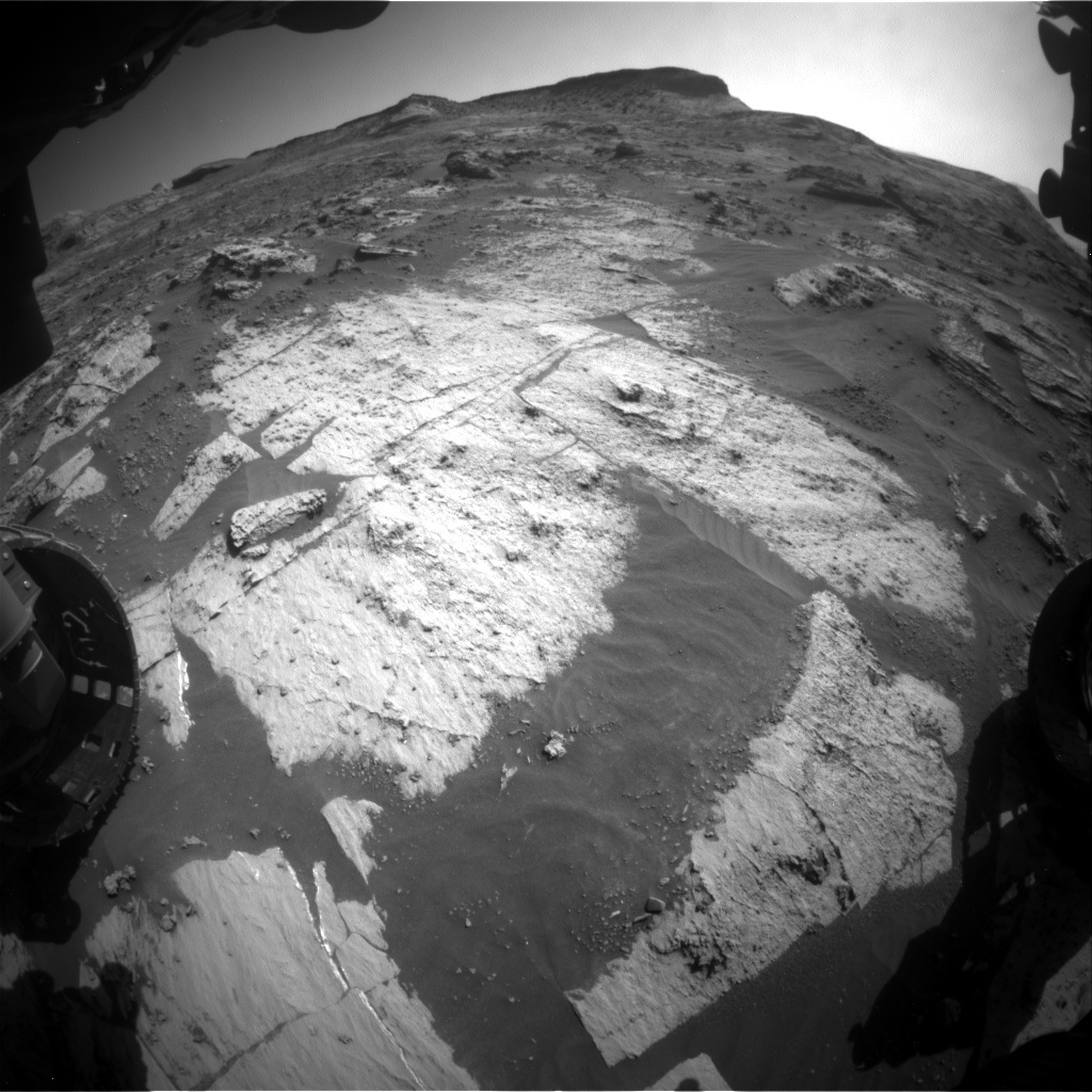
We are continuing our traverse through an area of resistant buttes or mesas, and recent drives have been relatively short. Drives are planned using navigation images such as the one above. The area that is visible from your location is called the “viewshed.” Since we entered this area full of buttes and rough terrain, the viewsheds have been limited and the drives small. Driving in this area has been tough, and RPs have slowly picked their way with care, with drives of 20-30 metres the normal.
At the start of today’s planning, the rover planners (RPs) realised that the relatively benign topography just in front of us meant that they could potentially drive almost 90 metres. On the one hand, this was very tempting, after all the recent small drives, to finally get further down the road, and improve the viewshed. But… on the other hand… this area is so incredibly interesting. Every time we stop, we see something intriguing. Speeding through here could mean that we potentially miss important observations.
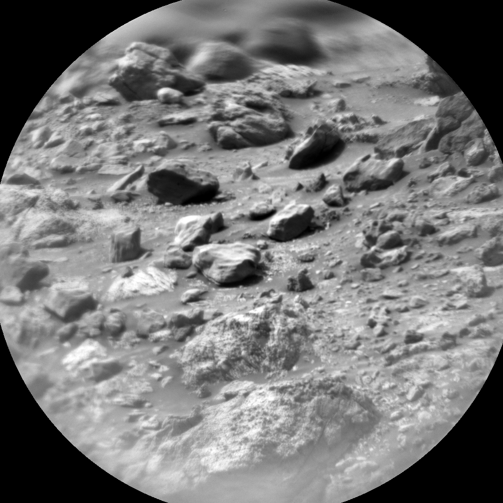
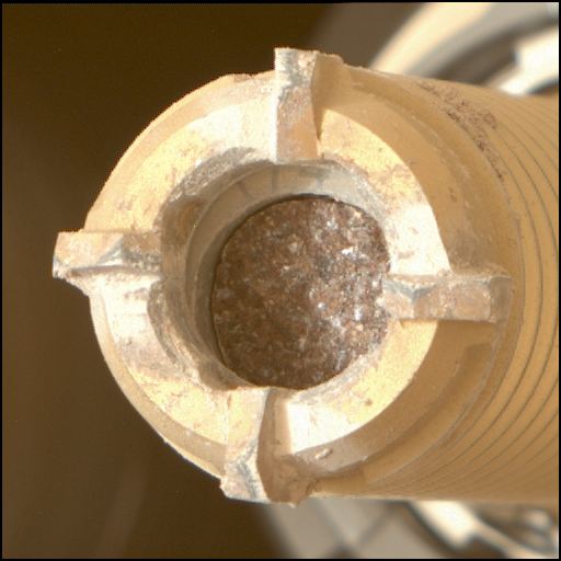
So, following a lively discussion of the pros and cons, we found a balance that allowed the best of both options: a moderate drive, leaving time for extra science activities from our current workspace, and a more leisurely pace through this area. A 50 metre drive will provide the RPs with better viewsheds and peeks at the road ahead, which will make planning drives a little easier for the coming week. We then added some bonus science at our current stop, in the form of brushing a bedrock target “Solway Lowlands” and interrogating that one with almost every tool we have – MAHLI imaging, APXS and ChemCam geochemical analysis, and Mastcam multispectral compositional analysis. We will also get more imaging of the lower slopes of “Rafael Navarro Mountain” and of a knoll (“Gogar”) crosscut by veins in our drive direction, before embarking on our sporty 50 metre drive. All this and environmental monitoring activities too – a busy one sol plan!
Written by Catherine O'Connell-Cooper, Planetary Geologist at University of New Brunswick


