3 min read

This weekend, Curiosity will be very busy. Today I was part of the Rover Planner team and got to plan our drive.
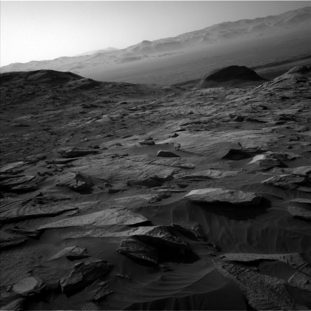
Curiosity is in some very complex and beautiful terrain so there is a lot to look at. We are taking several Mastcam mosaics, including one of our contact science target, a bedrock target named “Newcraighall,” and another bedrock target named “Charlotte Square.” Additionally, we will image “North Dell,” which is a distant butte about 110 meters to the west. We are also taking ChemCam LIBS observations (with Mastcam documentation) of a third bedrock target, called “Manishmore,” which is on the same block as Newcraighall. Lastly, we are also taking ChemCam RMI observations of another distant outcrop target about 125 meters to the southeast
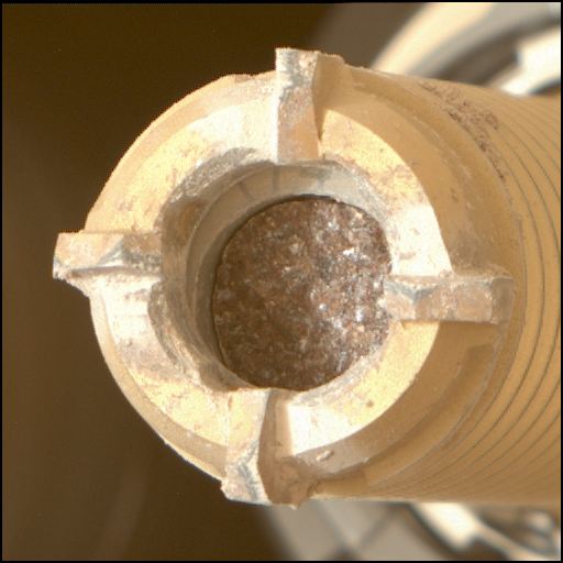
As Rover Planners, we definitely had our hands full today. In addition to standard systematic contact science on Newcraighall, we are doing something new. We will be pointing the MAHLI camera at the sky in an attempt to take an image of Mars’ moon Phobos at night. This is quite a challenge, as the field of view of MALHI is rather small, and it also requires very precise positioning of the arm based on our predictions of where Phobos will be at that time. We’ll also take a nighttime image of the RSM as a reference. This experiment will be used to help quantify the sensitivity of MAHLI at very low illumination. Phobos will be dark, but we may see a great moon-lit image of the RSM.
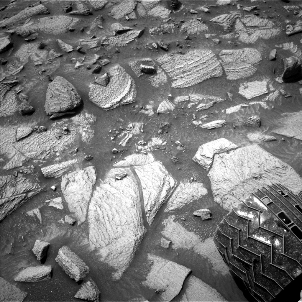
After all the complex arm activities, on the third sol of the plan, Curiosity will also be driving. The terrain in this area is very challenging, with rugged ground, lots of sharp rocks, and patches of rippling sand. The drive is planned to stay as much on bedrock as possible while avoiding the more dangerous rocks and deeper sand ripples. We are using tight safety checks to make sure we stay on track and avoid getting into any trouble. Curiosity will be driving about 35m to get to a good viewpoint in the direction of a newly identified potential drill target area that will be about 80 meters to the west at the end of the drive.
The plan also includes a suite of Navcam environmental and atmospheric measurements, including several images looking off into the distance and two dust devil surveys, as well as a Mastcam solar tau.
Written by Ashley Stroupe, Mission Operations Engineer at NASA's Jet Propulsion Laboratory


