2 min read

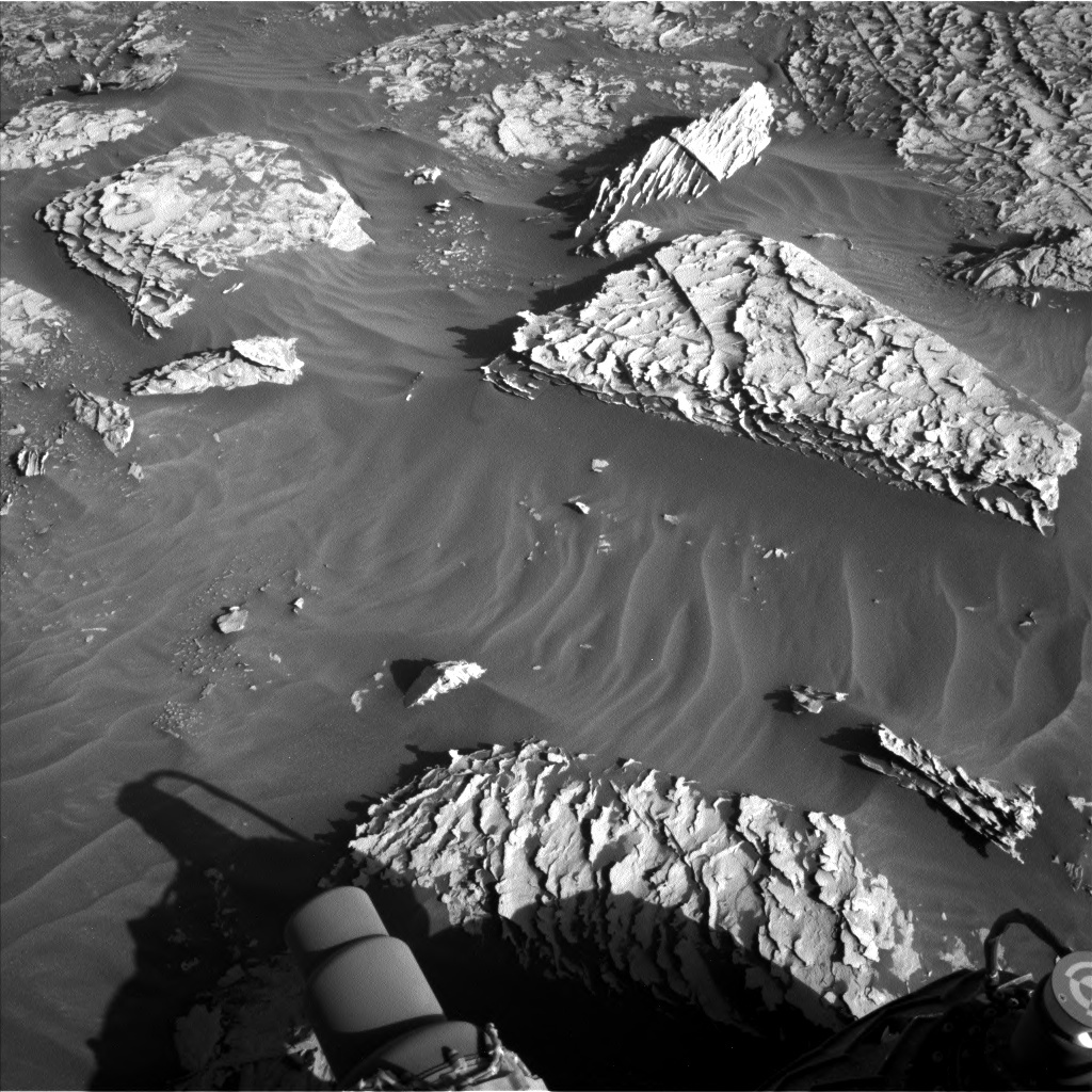
Likely because mission operations start near lunch time on the East Coast, I’m often thinking about food when I begin my planning shift. Today I was Science Operations Working Group chair and my first thought looking at the rocks near our workspace was “those look like piles of tortilla chips!” To the geologists on the team though, these incredibly thin and fragile layers indicate that the rocks were laid down in a sedimentary environment. The tilted “tortilla chip” fins indicate later water flowed through fractures in the rocks. Both the thin layers and fins can be seen along the bottom edge of the nearby Siccar Point, and it’s likely that the dark overlying material that’s still present on Siccar Point was eroded away at the location we’re parked, leaving the “tortilla chip terrain” (my term, not an official MSL feature term) exposed on the surface.
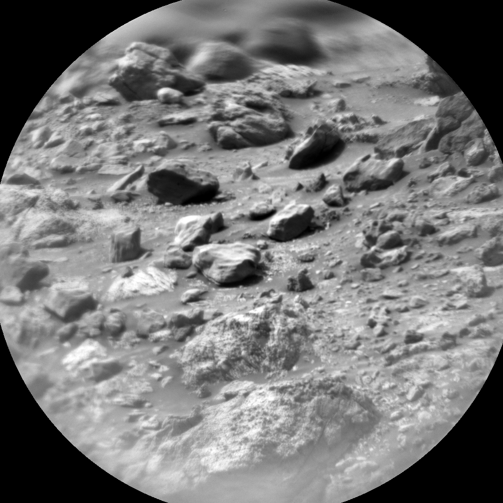
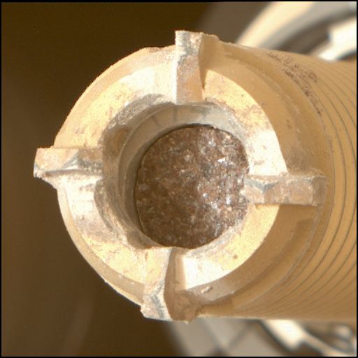
Today was a standard touch-and-go plan, with contact science on a large block (tortilla chip pile) in the workspace termed “Wardie.” We’ll also use ChemCam LIBS on another such block off to the rover’s right and take a series of Mastcam images of the various surface textures around the rover. Farther afield, we’ll take a large Mastcam mosaic of Rafael Navarro mountain and search for dust devils with Navcam.
Written by Scott Guzewich, Atmospheric Scientist at NASA's Goddard Space Flight Center


