3 min read

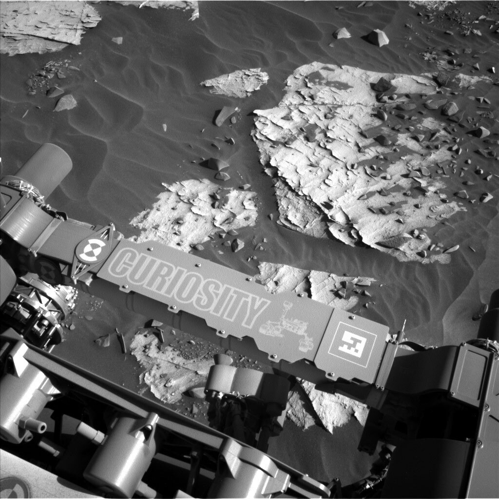
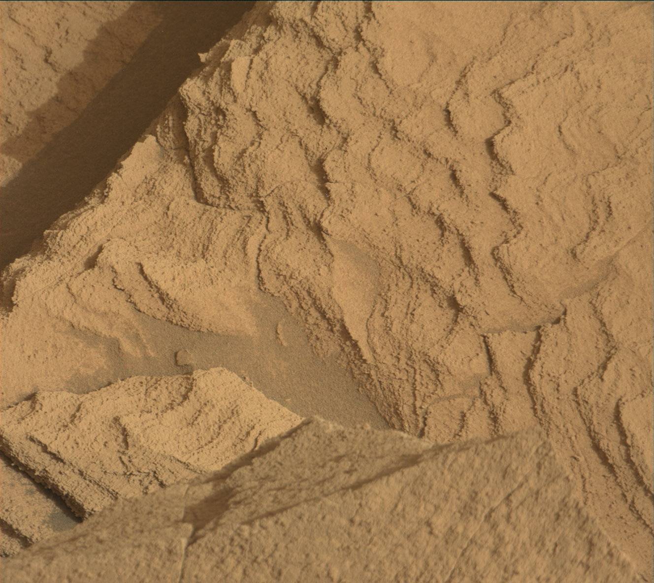
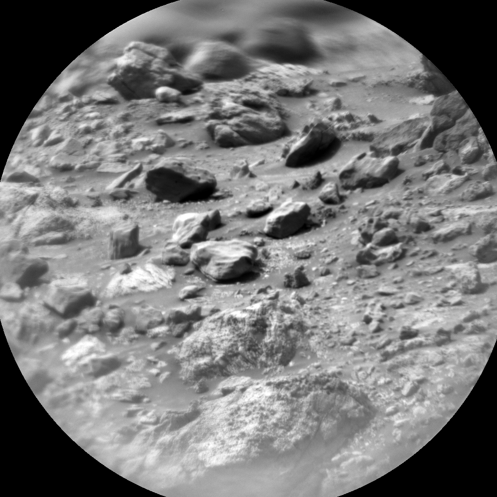
We were greeted with another artistic workspace on our trip toward the entry of “Maria Gordon Notch.” The bedrock exhibited millimeter-thick layers interrupted only by periodic thin white veins jutting out of the bedrock surface. The bedrock and surrounding sand ripples were littered with gray rock fragments, shed from the "Greenheugh Pediment" looming east of us. To keep building our systematic picture of the bedrock as we climb Mount Sharp, we used all our remote and contact science instruments on the bedrock target "Isle of Mists.” ChemCam will take first aim before we brush the target with the DRT. MAHLI and APXS will have the next crack at the dust-cleared target for closer looks at its texture and chemistry. Finally, Mastcam will acquire a multispectral observation of the cleared bedrock, and a stereo mosaic covering the workspace.
While the bedrock was the focus of our attention, the veins were not to be ignored. ChemCam will acquire a raster from the vein target “Draffen,” and the Mastcam mosaic of “Hill of Many Stanes” will cover bedrock exposures cut by veins and nodules.
Looking farther afield, Mastcam will capture mosaics of the area where we are headed for drilling, a long stretch of the eastern edge of the Greenheugh Pediment, and “Ciuff Hill,” a small cliff west of us where the stratigraphy of this area is exposed.
The environment will also get plenty of attention throughout the plan, with multiple measurements at different times of day to monitor changes across the sols. At midday, Mastcam and Navcam will measure the dust load in the atmosphere, and Navcam will look for clouds, cloud shadows, and dust devils. The Navcam dust load cloud movie observations will also occur in the early morning of Sol 3283. DAN will acquire long passive measurement of the subsurface on each sol of the plan, and RAD and REMS will keep their steady gaze fixed on the Gale environment.
With our observations complete, we will drive ~50 m drive toward the elevation at which we want to drill next. It is hard to believe it is it that time already! It does not seem like long ago that we are at the “Maria Gordon” drill site, even with our pause in planning for conjunction. The fact that it does not feel like it took us long to climb to our next drill target is a sign we are really mountain climbing, and reading the mountain as we go!
Written by Michelle Minitti, Planetary Geologist at Framework


