2 min read

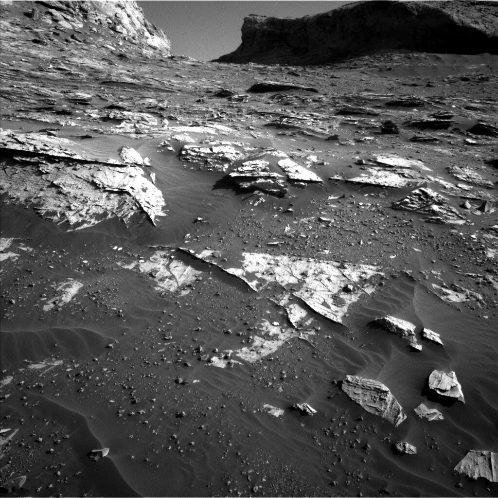
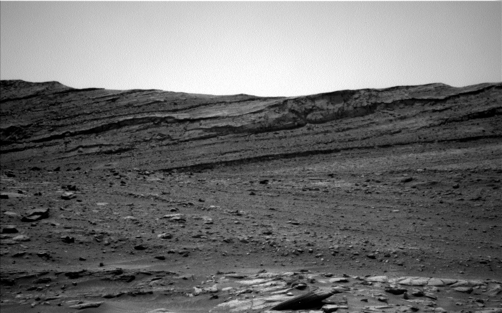
The drive over the weekend was successful, gaining us more than 6 m in elevation - not bad for a weekend hike! Looking at this terrain, it is probably not surprising to you that looking uphill into the tilted bedrock slabs and thin resistant veins jutting up in all directions makes it hard to plan our next move. Indeed, today’s drive will take us close to the area where we want to drill next, but not necessarily the exact spot. We hope to be able to look around us after the next drive - looking left and right across the tops of these bedrock slabs and veins - and pick a sweet spot to drill. Given the variety of features around us right now, surely sweet spots will not be in short supply!
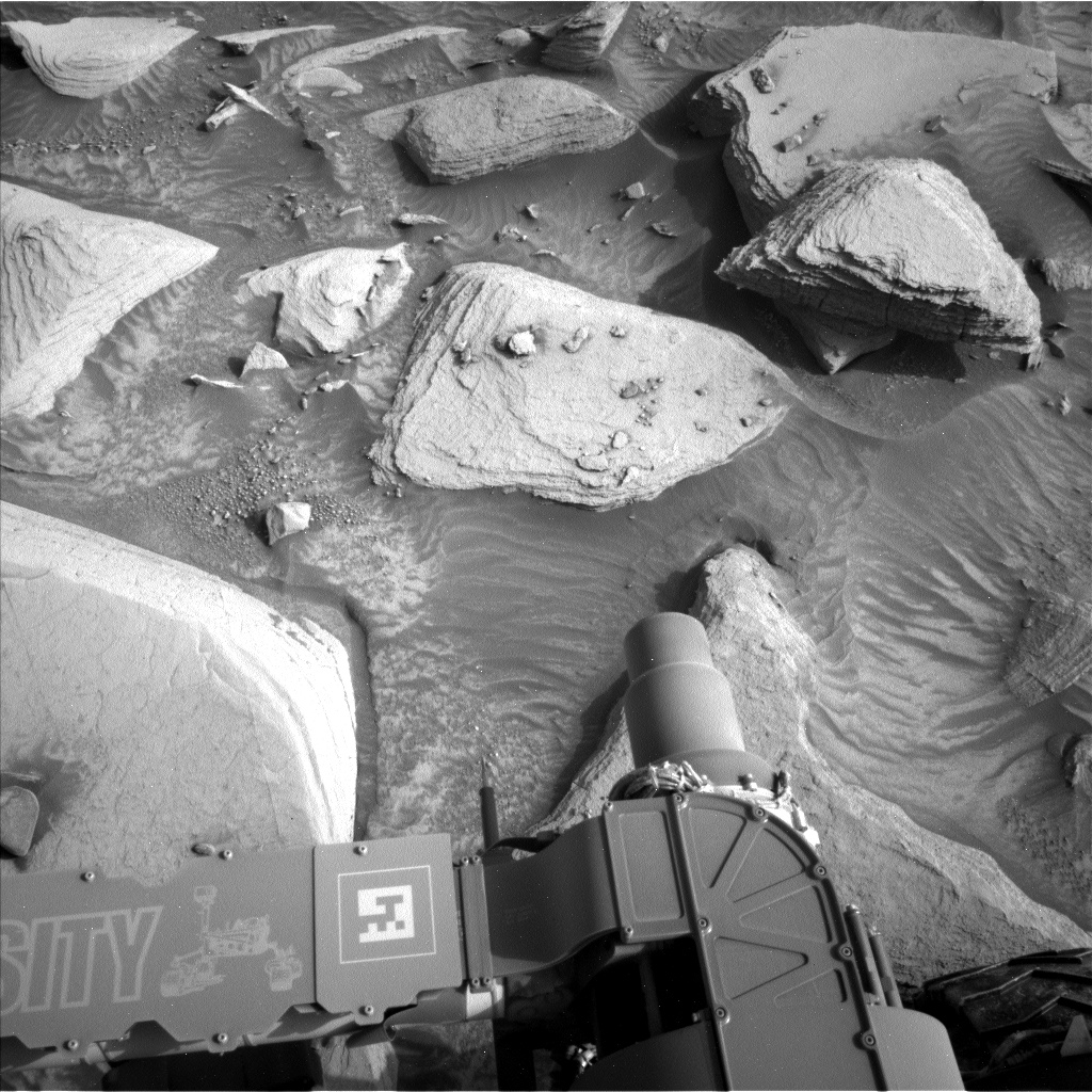
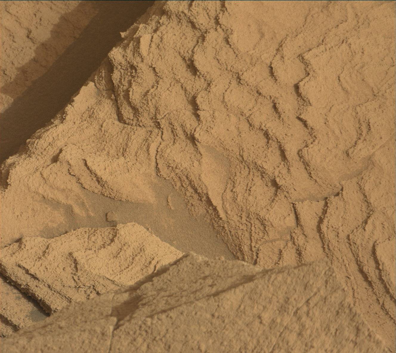
Before we drive, we had time to gather data from our surroundings. Today’s workspace was considerably less rocky than the last one, but the lovely sand ripples cutting through made an intriguing target. MAHLI and APXS will image and measure one ripple, “Dornoch Beach,” the first purely sand target we have studied in quite awhile. It is good to keep track of sand chemistry, as sand is a mixture of rock components near and far, and changes in sand chemistry can indicate changes how much local rocks are contributing to the sand. ChemCam will measure the chemistry of one of the ~cm-sized resistant nodules, “Aztec Tower," in bedrock out of reach of the arm instrument. Mastcam will acquire a mosaic of one of the spectacular slabs nearby, the one present on the left side of the image above, dubbed “Coylton Rocking Stone.”
Before and after the drive, Mastcam will support measurement of the amount of dust in the atmosphere with an image aimed at the sun, using a big filter keeping the camera safe while doing so. Navcam will look for dust devils and clouds. RAD and REMS run throughout the plan. DAN will run in passive mode for nearly 8 hours before, during, and after the drive while adding an active measurement after the drive is complete.
Written by Michelle Minitti, Planetary Geologist at Framework


