2 min read

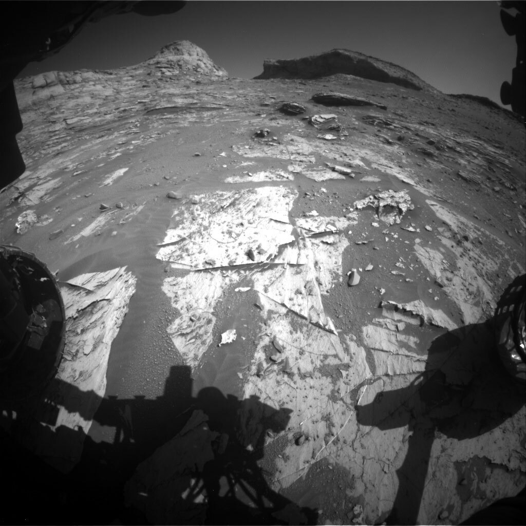
After our short bump on Tuesday, Curiosity has reached a new potential drill location. When we first arrived at the clay-sulfate transition, the science team decided on a strategy to drill every ~25 m in elevation gain. This allows us to systematically document any changes in the composition of the terrain while being reasonable with our limited rover resources. The terrain is beginning to steepen as Curiosity gets close to the end of this region, so even though we’re only a few drives away from our last drill site at Maria Gordon, we’ve already climbed 25 m higher!
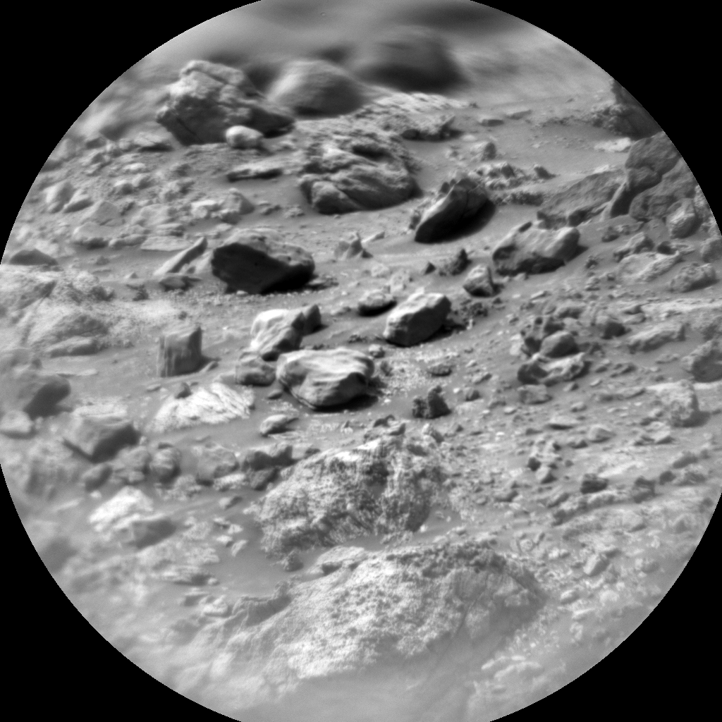
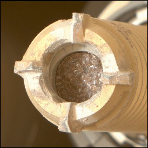
The main activity in this two-sol plan will be characterizing the chemistry and textures of our planned drill target with APXS, MAHLI, Mastcam, and ChemCam. We will also place the drill bit on the rock to make sure the rock is stable enough to support the force of drilling. Additional environmental science monitoring observations will round out the plan. We named the planned drill target "Zechstein." On Earth, the Zechstein Group describes a succession of rocks that were deposited in an ancient ocean located east of the present location of the British Isles. The terrestrial sequence contains many salts that formed during periods when the waters became shallow, such as halite (sodium chloride, table salt) and gypsum (calcium sulfate), so we felt this was an appropriate name to use as we transition to rocks on Mars that could contain similar salty minerals.
Written by Abigail Fraeman, Planetary Geologist at NASA's Jet Propulsion Laboratory


