3 min read

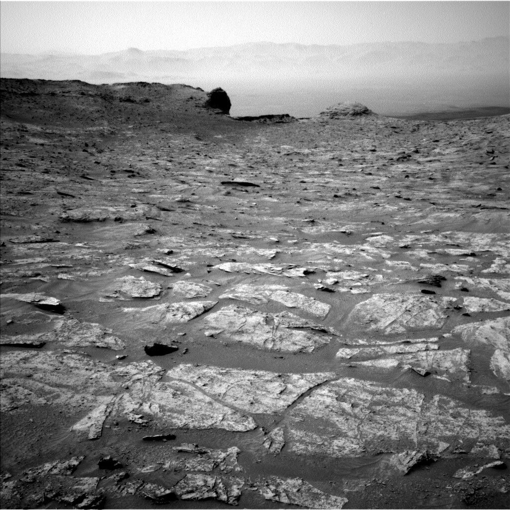
Tosol, Curiosity woke up in a new mapping quadrant, Roraima. The Roraima quadrant is named after the northern-most state of Brazil and Mount Roraima, which is the highest peak in the Pakaraima mountains which sits between Brazil, Venezuela, and Guyana. The terrain in the Roraima region on Earth looks somewhat similar to the area Curiosity is in – with flat-topped hills and some steep slopes. Curiosity will be heading toward a narrow pass bordered by some small flat-topped mesas worthy of the Roraima name. Looking back, Curiosity can see all the way to the Torridon quadrant and see Mars’ “Scottish highlands” with the attached beautiful view of the Maria Gordon notch; you can also see the rim of Gale crater in the distance.
As we head southward, we will likely be parking near some of these tall hills and cliffs in order to get close-up images. Parking near such tall terrain can sometimes block our view of the orbiters if they are low in the sky, impacting the amount of data we may receive. We saw this kind of an effect when we parked near the tall steep cliff of Maria Gordon notch, where there was a significant reduction of data on one of our communication passes with the Trace Gas Orbiter (TGO). We will take this into account to make sure we will still get down the data we need for planning.
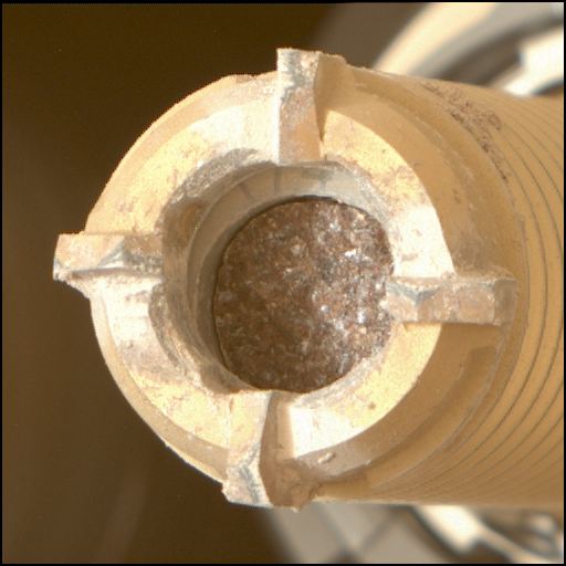
On the first sol of today’s plan we are doing a “touch-and-go” which includes some contact science, targeted science, and a drive. Our contact science target, “Verde,” is a small piece of bedrock with nodules in it, similar to many of the other rocks we have investigated recently. The science team will be able to compare its composition with those prior targets to continue to build up a picture of the changing geology and chemistry preserved in the region. The Rover Planners will then leave the arm stowed again in preparation for driving and to leave a clear view of the target for the cameras.
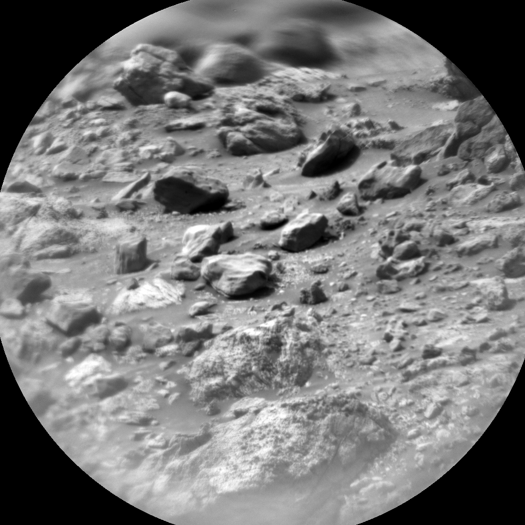
The targeted science in the plan will also investigate the nodules by looking at “Maurak,” another nearby target, with ChemCam and Mastcam. ChemCam is also taking RMI images of a distant butte named “Mirador,” both its top and its face, which has an interesting and significant textural transition.
Once ready to drive away, Curiosity will head about 15m southward. Due to some significant rocks and the uphill climb ahead of us, this is only as far as the Rover Planners can see. Even if that distance, the rover is going to need to wind around to skirt some more significant rocks so that we don’t add damage to the wheels. The drive should leave us parked where we have a better view of the road ahead, as well as leave bedrock within the rover’s workspace for the next plan.
After the drive, Curiosity will do some evening environmental observations, Navcam suprahorizon and zenith movies, to look at the atmosphere. Overnight, the SAM instrument will be doing an engineering maintenance activity to check out the optics on the tunable laser spectrometer (TLS).
On the second sol of the plan, after the drive, Curiosity will do some untargeted science using AEGIS autonomous target selection and observation and a long Navcam dust devil movie.
Written by Ashley Stroupe, Mission Operations Engineer at NASA's Jet Propulsion Laboratory


