2 min read

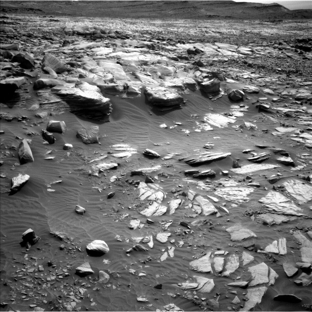
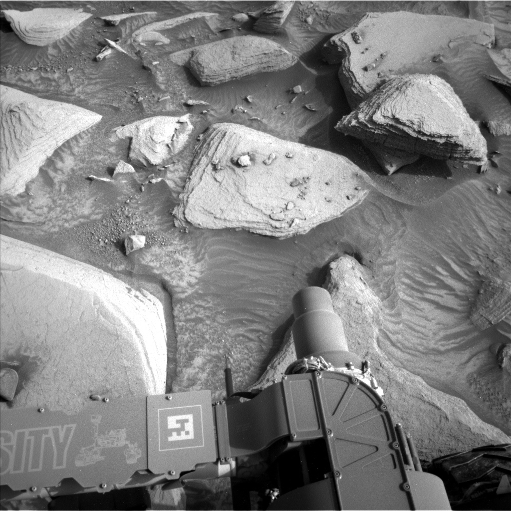
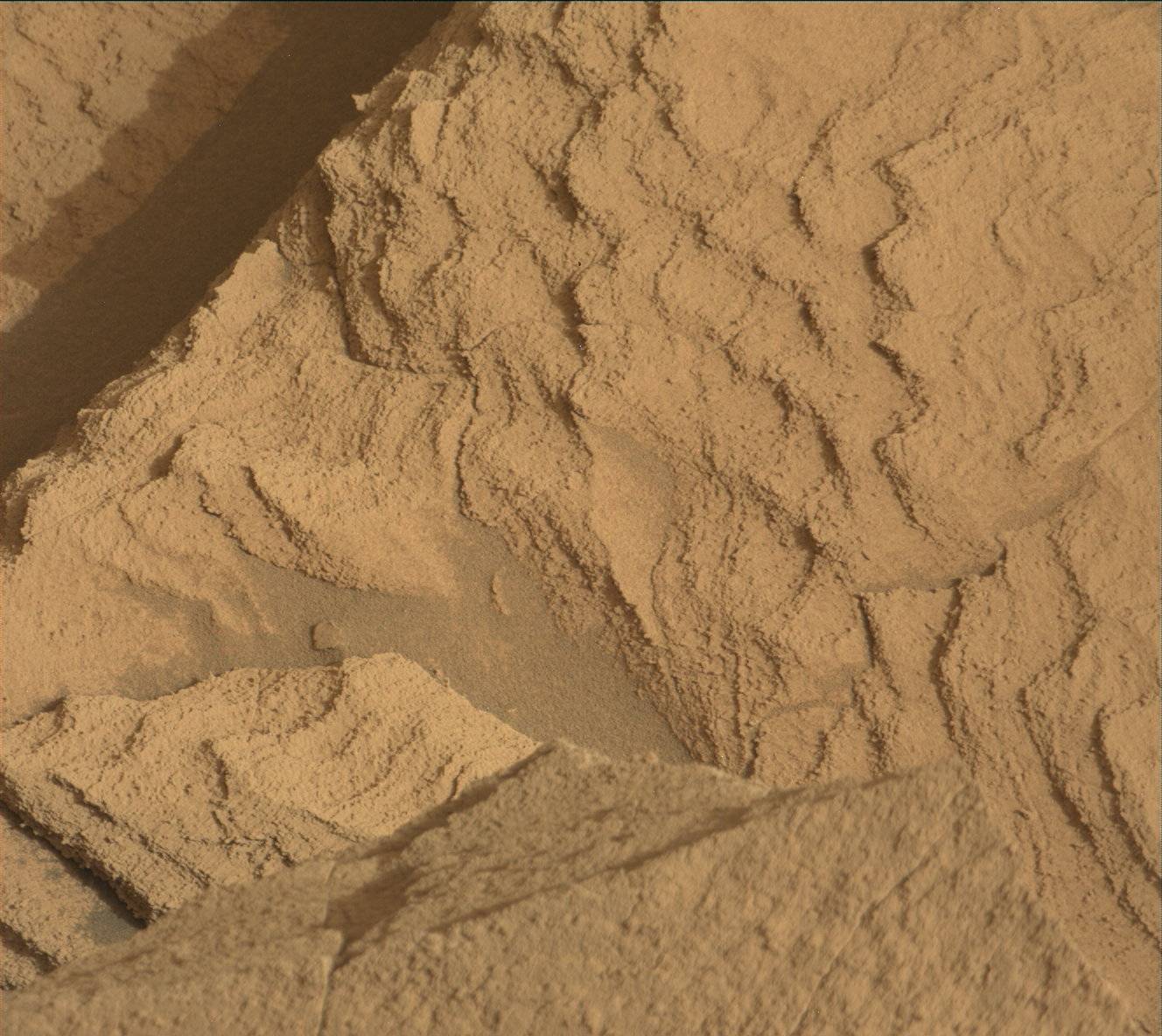
Over the weekend, we completed the planned drive with a relatively easy (by “Greenheugh Pediment" standards) traverse in the pediment. With lots of bedrock in the workspace, we quickly identified a contact science target for APXS and MAHLI, “Oosta,” that was slightly less dusty than the surrounding bedrock and nicely layered. We decided not to co-target ChemCam LIBS with the contact science target, to take advantage of targeting some of the exposed vertical faces on the bedrock slabs around the workspace. Many of them had lovely fine layers exposed and interesting texture apparent even in the Navcam images of the workspace. The selected vertical face got a grandiose name, “Hadrians Wall," relative to its relatively small height.
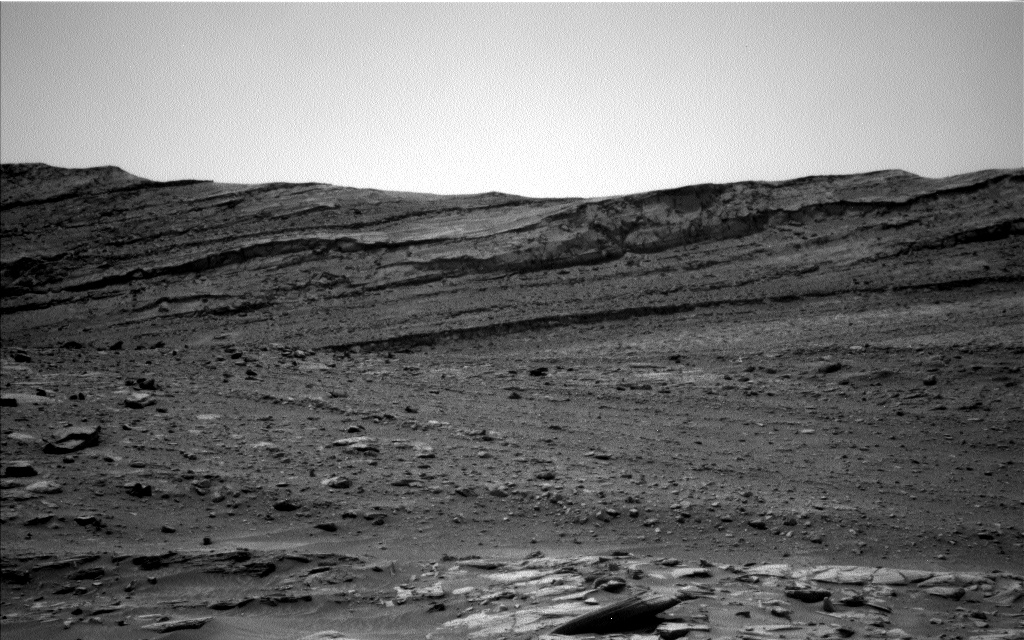
ChemCam and Mastcam imaged other, larger features to explore the three dimensional structure of the pediment cap and Gediz Vallis Ridge. We had a great view of the edge of the trough and the bedding structure and varying textures therein, so Mastcam covered the topography with a large stereo mosaic “Youkil Quarry” (partially captured in the Navcam image above). The top of Gediz Vallis Ridge and a prominent horizon lower down its flank were the targets for two ChemCam long distance RMI mosaics.
After the drive, which gets us closer to a part of the capping unit that has a “washboard” texture from orbit, Mastcam will cover the terrain with mosaics to help with future drive planning, MARDI will capture the bedrock action under our left front wheel, and ChemCam will shoot an autonomously-targeted raster to increase our chemistry measurements on the pediment. The bulk of our environmental observations will take place either after the drive or on the second sol of the plan. We will acquire Navcam cloud movies, dust devil imaging, and dust devil movies at multiple times of day, in addition to multiple Navcam and Mastcam images to measure the amount of dust in the atmosphere. DAN passive measurements will run for a leisurely 8 hours on the first sol and 3 hours on the second sol, with an active measurement added right after the drive. RAD and REMS also run regularly, ever the Energizer bunnies of our plans.
Written by Michelle Minitti, Planetary Geologist at Framework


