4 min read

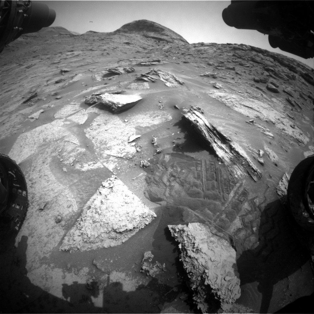
Our previous drive was successful, leaving us at our third and final imaging stop of the pediment. On this drive, we passed back into the Roraima quadrant, so our target names are from that South American region again. in this plan. We were quite limited in our post-drive imaging data volume, so we are making up for that by taking more imaging today before we drive away. In the attached image, you can see the rover’s workspace as well as some rover tracks which feature some clear cleat imprints going in several directions from the rover’s maneuvering. Today, I did the Rover Planner sequencing for the arm activities.
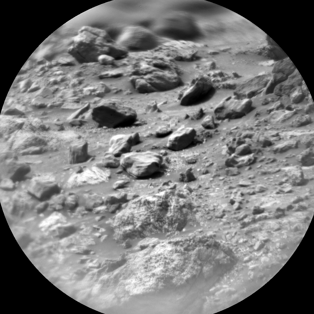
In our first science block, we are taking ChemCam LIBS of our contact science target, “Gran Sabana,” a well as an RMI of “Olea,” which is a dark-toned target on “Maringma Butte,” which is on the pediment about 12 meters to our west. We also take Mastcam of Gran Sebana, followed by a very large mosaic (120 frames!) of Maringma Butte and a smaller mosaic (10 frames) of “Depdale,” which is in our expected drive direction. This will help us plan our route and evaluate our new strategic route better. We also take some standard atmospheric imaging, including a Mastcam solar tau to measure dust in the atmosphere, and Navcam images toward the horizon and a dust devil movie.
After the imaging, we do our contact science. APXS chose not to take data today because we could not get it early enough in the day to have temperatures that are conducive to good quality data. We did, however, still want to take MAHLI images because a block in our workspace shows some very interesting layers. This block is visible just to the right of center in the attached image. It also has a complex shape, which is really evident from the complex curves in the rock’s shadow, and which made it a challenge to get the arm down on it. One target on this block, “Gran Sabana,” is more on the top of the rock, where we could use the APXS to measure where the surface is. RPs can command the arm to place APXS just beyond where we think the surface is, relying on the contact switches to stop the arm exactly on the surface. This is more accurate than what we can determine from the images and allows us to get images as close as 1cm from the surface safely. Today, our close image was at 2cm from the surface. We did have to slightly adjust the position of the target and the angle at which we were approaching it in order to avoid having any part of the turret collide with the ground. The second target, “Berbice,” was even more challenging. This face of the rock was more vertical and very close to other rock features. We had to significantly adjust the position and approach angle not only to avoid colliding with any other part of the rock, but to avoid the arm colliding with the wheel and the rover body, as this target is very far off to the right and close to the rover as well as tiled toward the rover. Ultimately, we had to take images at 20cm instead of 25cm because we just wouldn’t safely move to the standard 25cm hover height.
After we stow the arm, we’re ready to drive. We’re continuing to head back south, approximately following back along our route north. Today we are driving about 45 meters, which will put us close to the spot we parked on sol 3345. This will give us the opportunity to do some additional science. By parking near the same location we visited more than 100 sols ago, we can improve our gravimetry measurements. It is always very exciting to do new kind of science that the rover was never specifically designed to do! The terrain for this drive, and the near-term future drives, continues to be challenging. There are patches of sand and sharp blocks which necessitate winding around rather than driving along a straight path. While our path is 45 meters, we will actually end up only about 35 meters away from where we started.
We finish up our plan with our standard post-drive imaging to look at our workspace and the path ahead. Again, we are only getting a small amount of data down after our drive, so we had to be careful to take only what we needed and to prioritize things.
Written by Ashley Stroupe, Mission Operations Engineer at NASA's Jet Propulsion Laboratory


