2 min read

After a successful 47m drive with ~5 m of elevation gain by Curiosity yestersol, we arrived at more new and interesting terrain to investigate! I was on shift today as Science Operations Coordinator (SOC), and my role is to keep the pulse on both the science priorities and the rover resources and constraints. It involves a lot of interdisciplinary communication between both the international science team and the JPL-based engineering team.
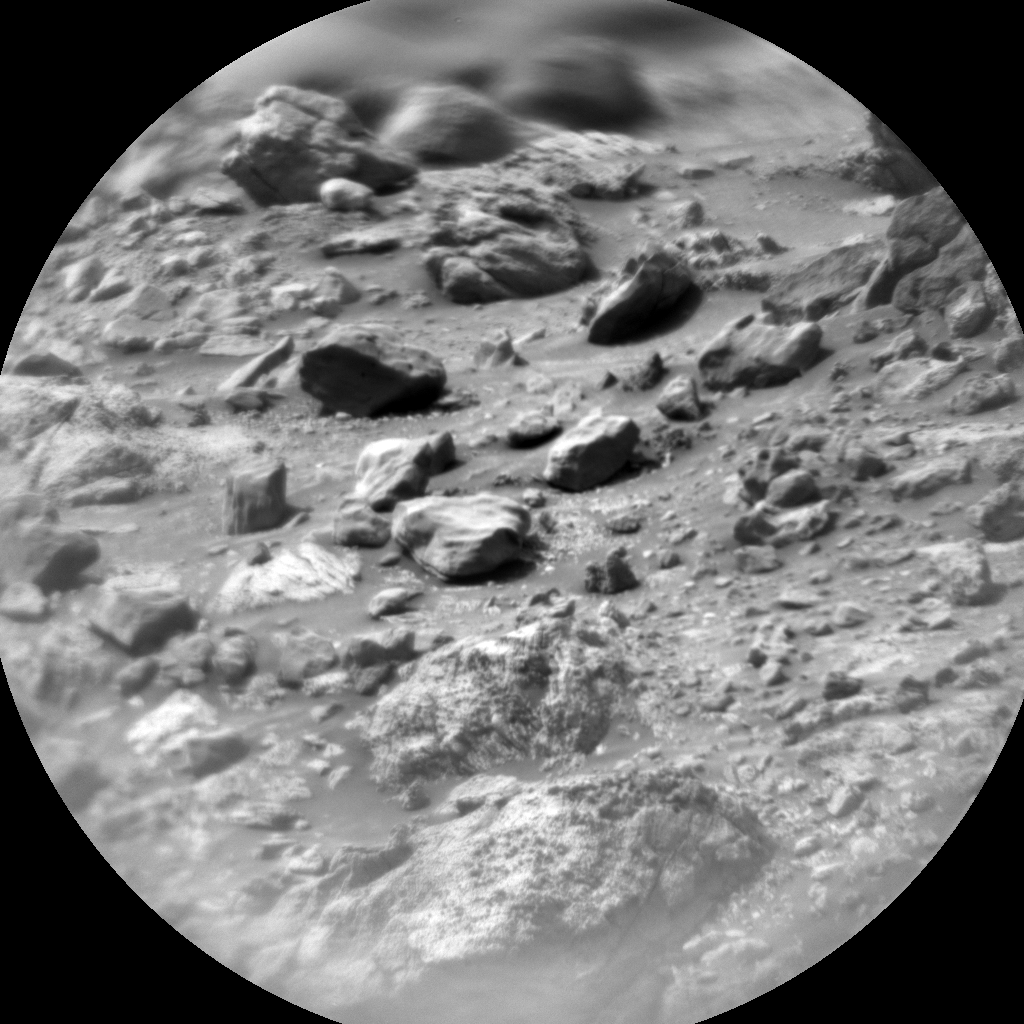
In today’s 2-sol plan we continued our systematic chemical characterization of the bedrock using APXS and ChemCam as we make our through the clay/sulfate transition. Our two contact science targets, “Pastora” and “Tama Tama,” are nodular bedrock, and we’ll also use the MAHLI imager to take a close look at their fine-texture. Together the imaging and compositional information will provide clues for how these rocks formed and how they have been subsequently altered. We’ll also image some distant buttes and layered stratigraphy using Mastcam and ChemCam RMI to learn about the depositional environments they formed in. Our environmental team continues to monitor the atmosphere as we are approaching our dustiest season by taking tau measurements and line-of-sight observations across the crater, in addition to other weather monitoring observations.
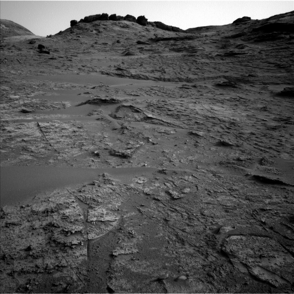
The most fun part of my day as SOC was brokering the discussion between the science team and the Rover Planners for our drive and most importantly our end-of-drive location – which sets us up for the work we’ll do in Friday’s plan. The science team typically provides me with several science targets that they are interested in landing on, and I work with the Rover Planners to understand if those targets work with the resources we have for the drive (for example, power and proper imaging), if accessing those targets is safe (for example, are they on a steep hill where the rover may slip?), and if the targets are generally along our high-level strategic path. After lots of fun back and forth, the team decided to drive 30 m towards some unique dark layered blocks that you can see on the top left-hand corner of the above image. If our drive is successful, we’ll get to do some contact science this weekend before continuing our journey up the mountain!
Written by Elena Amador-French, Science Operations Coordinator at NASA's Jet Propulsion Laboratory


