4 min read

On this Monday 2-sol plan, I was one of three Rover Planners. I took the role of Arm Rover Planner, sequencing the contact science. I also helped to review the drive.
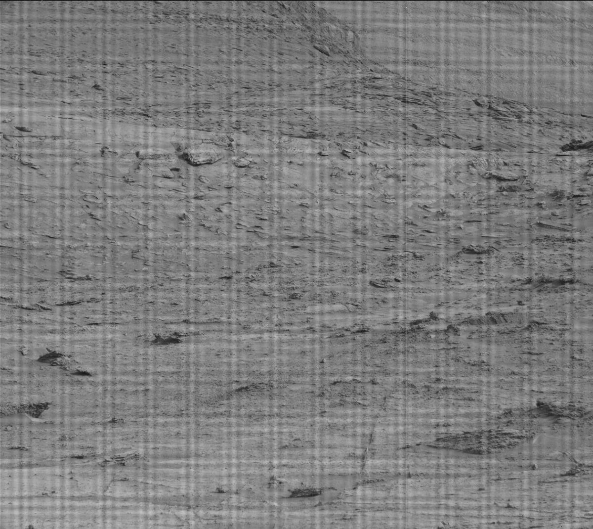
Before any of the Rover Planner activities, however, we planned an extensive suite of targeted science. Using the ChemCam laser, we are looking at the target “Takutu,” which is a bedrock target in our workspace. With the ChemCam RMI camera, we also do a long distance observation of a target named “Bolivar,” which is a distant vertical cliff face in the direction we are driving. Mastcam is also observing the Takutu and Bolivar targets as well as a target named “Cachimbo,” which is target that may represent the contact between the Mirador formation and the upper sulfate unit. We finish up this pre-drive science with a couple of atmospheric observations, including a Navcam image of the horizon to look at dust in the atmosphere and a Mastcam of the deck to look at dust accumulation on the rover.
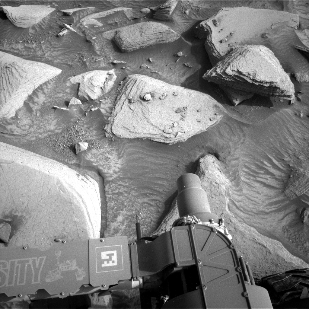
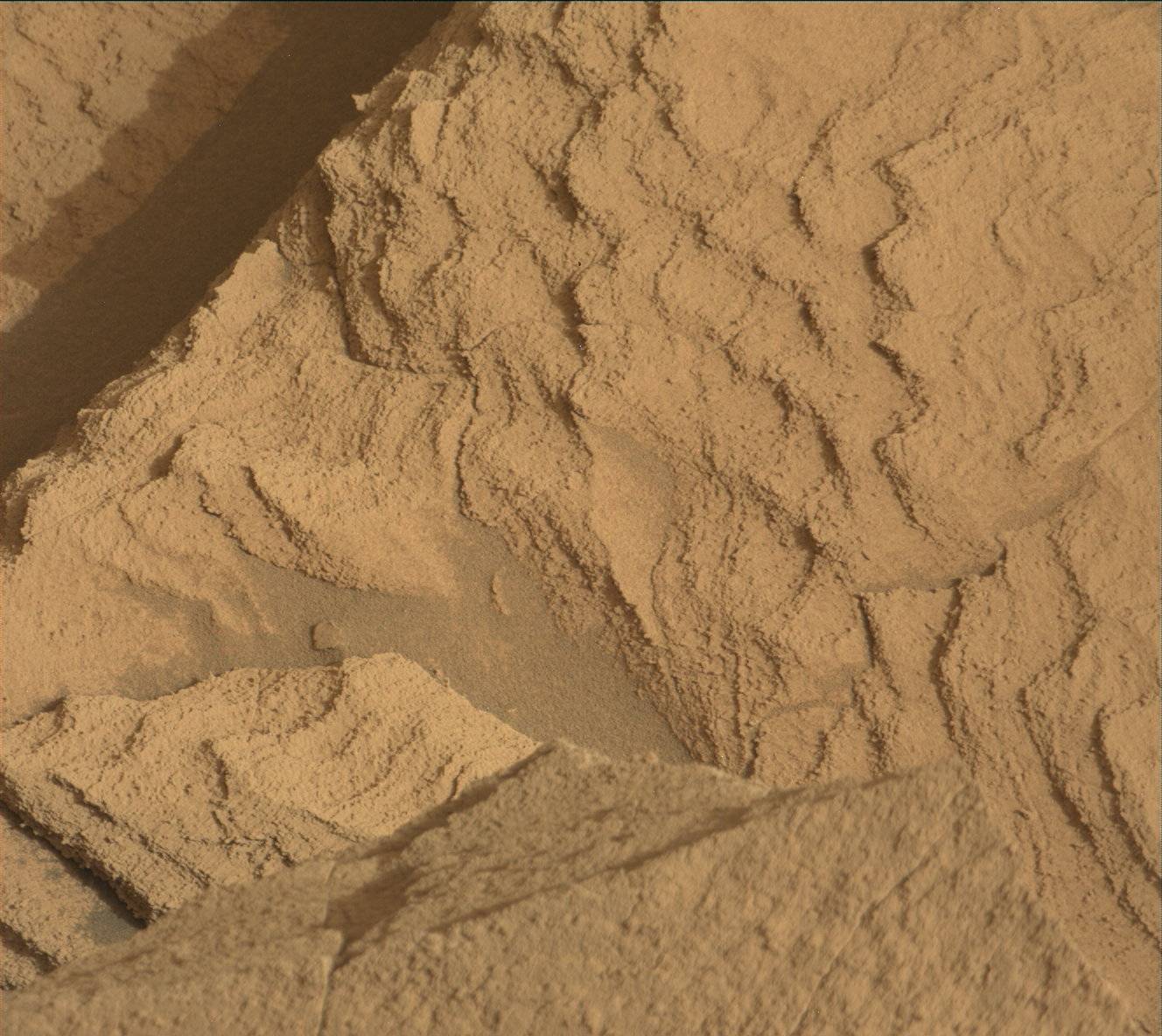
We expected to be planning standard pre-drive contact science, with APXS and MALHI. However, due to a later plan start time than usual, APXS would have been too warm to collect good data. So instead, we decided to do a DRT brush and take some MAHLIs. The rock is showing some nice layering, but is very dusty; without DRT the data would have been much lower quality. Selecting the contact science target was challenging today because the block we wanted to look at was near some other tall rocks. We had to carefully select a spot that, even with uncertainty, we could be sure that we would not hit the wrist or the other turret instruments on those rock when we got close to the ground. With a few minor adjustments, we were able to find a target that worked well for science and was safe. The target was named “Imataca,” and it is a piece of representative bedrock from the workspace with some fine-grained layering.
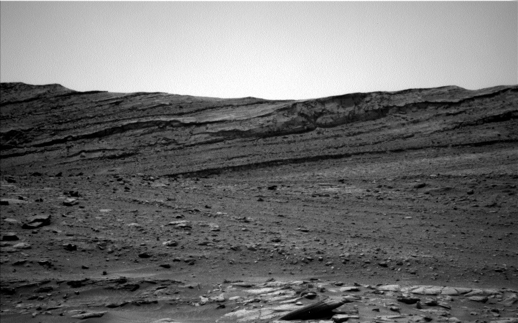
Planning the drive was particularly interesting today because we had two possible paths along our strategically planned route; one was a little bit more east and one a little bit more west. After evaluating what we could see in the Navcams and Mastcams, a well as the orbital imagery, we ultimately picked the slightly more eastward path because we felt that it was more likely to be friendly terrain down the road. Friendly terrain in this case is still a little bit steep and has a lot of very large and sharp rocks along the way that we have to be careful to avoid (as shown in the attached image of our drive direction). We have a lot of terrain occluding our view in today’s drive so we are using Autonav (“autonomous navigation”) which allows the rover to take images and assess safety to select its route to the goal. We’re driving to get as far as possible in the time we have (about 1:30) and try to park at a high point that will give us good visibility of the future path. We’re climbing about 2m in our 28m drive. At the end we are taking our standard set of post-drive imaging to see our path ahead and to image our new workspace for contact science.
On the second sol of the plan we are using AEGIS to autonomously take pictures, select an interesting target, and make some science observations on that target. It is always interesting to see what AEGIS picks to look at when we get the results. We also continue our atmospheric observations (after all, we are in the dusty season) with Mastcam and Navcam. Mastcam is looking at the crater rim and an image of the sun to look at how much dust is in the atmosphere. Navcam is taking a dust devil survey and a suprahorizon movie a well. We also take our normal post-drive MARDI image just after sunset; we are doing this on the second sol rather than immediately after the drive because a communication with the Odyssey orbiter was happening at the desired time.
Written by Ashley Stroupe, Mission Operations Engineer at NASA's Jet Propulsion Laboratory


