2 min read

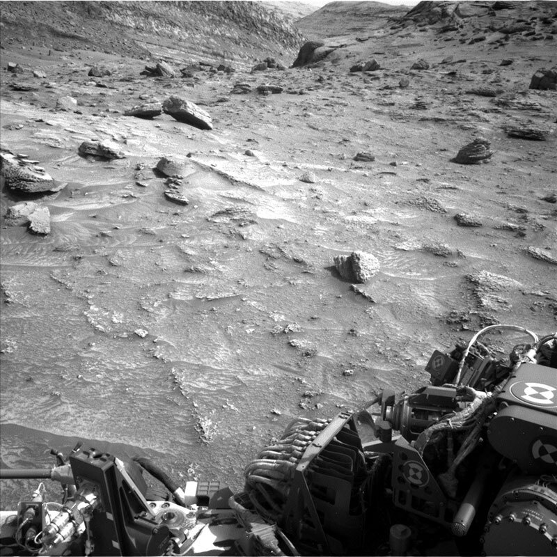
The rover has been making its way along the “Bolivar” ridge, dodging small boulders and rocks that have apparently eroded off the hillside as seen in the above engineering camera image. Unfortunately, due to the complex terrain our last drive ended about 11 meters short of its anticipated location. Because of the unexpected rover heading, the antenna we usually use to uplink plans directly from Earth was blocked by terrain. This precluded our ability to send our normal 1-sol plan today, so instead we’ll use an orbiter tomorrow to relay our commands for two sols. Today as Science Operations Coordinator my job was to make sure the engineering team at JPL and the international science team were communicating effectively and efficiently as we reworked our plan around the unexpected constraints.
Today’s team did a fantastic job, pivoting to a slightly more complex 2-sol plan but one that allowed for additional science observations to be made. Our plan includes studying the apparent layering of the “Surama” target with our MAHLI instrument to search for fine-scale layering. This rock seen here on the right side of the rover’s workspace, appears to be one that has rolled down from the Bolivar ridge – a “float” rock. We will also place our APXS instrument on the top of the rock to analyze its chemical composition. This information can then be compared to other compositions measured along our traverse. Will it be in family with those we have seen already, or will we find more similar compositions as we continue to ascend, hinting at its source?
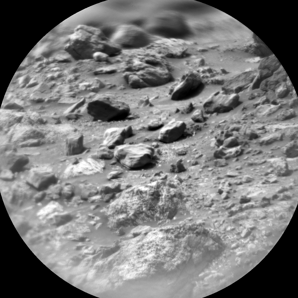
Because we ended up planning two sols today, we had plenty of time to plan remote science observations. This included Mastcam and ChemCam imaging of the Bolivar ridge and surrounding rocks. We will also use our engineering cameras to take images that monitor for dust accumulation in the atmosphere and dust devils on the ground. Lastly, we will continue driving-on to the southeast, skirting the Bolivar ridge, and making our way towards the canyon visible in the top left-hand corner of the above image.
Written by Elena Amador-French, Science Operations Coordinator at NASA's Jet Propulsion Laboratory


