2 min read

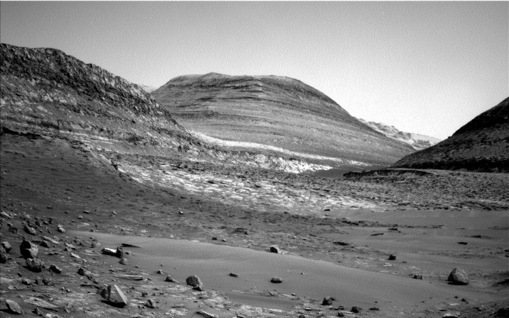
We are making slow but steady progress through the “Paraitepuy pass,” having passed the approximate halfway point over the weekend. Today’s one sol plan found us staring around the corner at the neck of the pass and considering our drive path forward. Sometimes, our drive forward is smooth and flat ….. neither word can be used here! Our drive forward has abundant sand and sharp rocks, so finding a safe path is providing our intrepid rover planners with some interesting times! Today’s planned drive is roughly 29 metres.
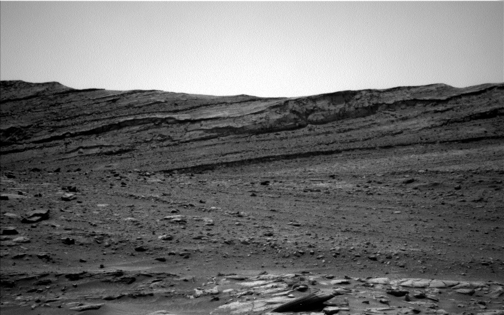
The view from here is quite extraordinary –we are looking at several large buttes, which lie along the side of the pass and in front of us – and it is hard to resist the urge to photograph everything in sight, just like any tourist or traveler! Mastcam is hard at work again as a result, imaging the butte Orinoco (the large butte on the left of the image – “Kukenán” is the butte at the centre-back of the image), along with two mosaics on the Bolivar butte. ChemCam is using its long distance imager (RMI) to look at the butte “Chenapua” (the edge is just visible on the right hand side of the image).
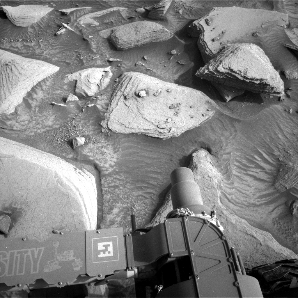
We parked next to some sand in this plan, so we are spending time to look at grain sizes within the sand patch. Mastcam will image the nicely developed ripple crest (“Blackwater Creek”). The MAHLI target “Sand Creek” and the Mastcam target “Karowrieng” look at the flanks, away from the ripple crest.
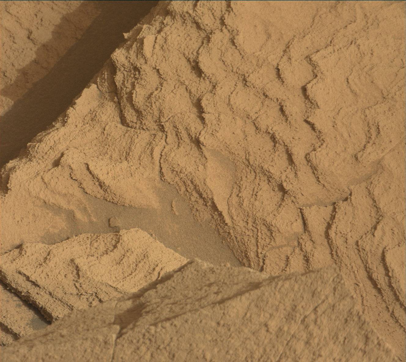
This sandy patch has a few float (i.e., loose on the surface) rocks in it. MAHLI will analyze “Nascente,” which is a small rock in the middle of the sand patch, right in front of the rover. Mastcam is imaging a large float rock “Plantain Island,” off to the left of the rover, and the float “Pairuwa Islands” within the sand patch, which has some intriguing sand flow patterns. We can compare these float targets to the bedrock ChemCam LIBS target “Corocito” – this may help us determine the origin of the float rocks.
Once our imaging and contact science is complete here today, we will move forward, picking our way along the pass.
Written by Catherine O'Connell-Cooper, Planetary Geologist at University of New Brunswick


