3 min read

Today we planned a single sol plan cramming lots of science into a small plan, before driving in the afternoon. The workspace here has flat-lying bedrock, sometimes with visible laminations or with raised ridges, with some patches of rougher textured (chaotic looking) material overlying the bedrock and lots of float rocks. So – rather than choose between them – we are doing a bit of everything!
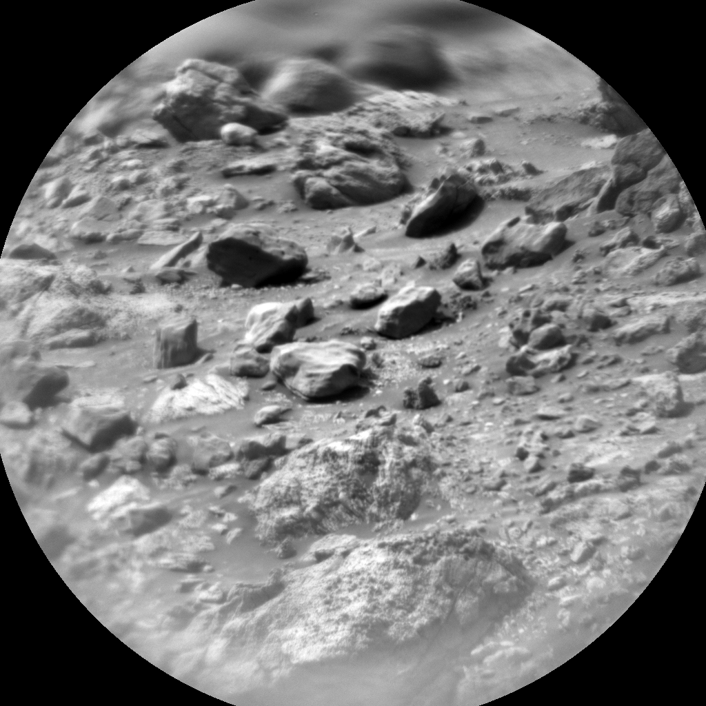
ChemCam will use LIBS to look at the composition of representative bedrock here, at the target “Buck Island,” which will also be imaged by Mastcam. MAHLI will analyze the target “Raimundo,” on a raised patch of knobbly, rough textured material. Mastcam will image both Raimundo and the surrounding bedrock, capturing some of the smaller, laminated float pebbles just in front of the rover. Mastcam will also image some raised ridges, potentially fracture zones, at “Kuyuwini” in the direction of our drive. Unfortunately, we couldn’t add APXS to this plan, as the mornings are too warm to run APXS right now, so the APXS team (myself included) are looking forward to getting some nice cold evening integrations later in the week.
The Mastcam target “Cairiri” is a nice bonus target for us too. On Earth, when geologists go to examine a new area, we bring hammers to break rocks open, to see what the interior looks like. When you stand on a rock surface, the colour may be red or brown or green – but often you are looking at the effect of weathering and not the rock as it would have been when it was “fresh.” Additionally, on Mars, the fine red martian dust can conceal and hide features. Sadly, Curiosity doesn’t have an actual hammer on board, but sometimes, as we drive over bedrock, the rover’s wheels can cause fragments to break off or break open. The target Cariri looks like it is comprised of nodular material that was crushed as we drove over it. Mastcam will image this, in the hopes that we see some of the internal structure of the nodules.
The environmental theme group (ENV) will undertake some environmental measurements, such as tau measurements (to quantify the amount of dust in the atmosphere), before we drive onwards to our next location.
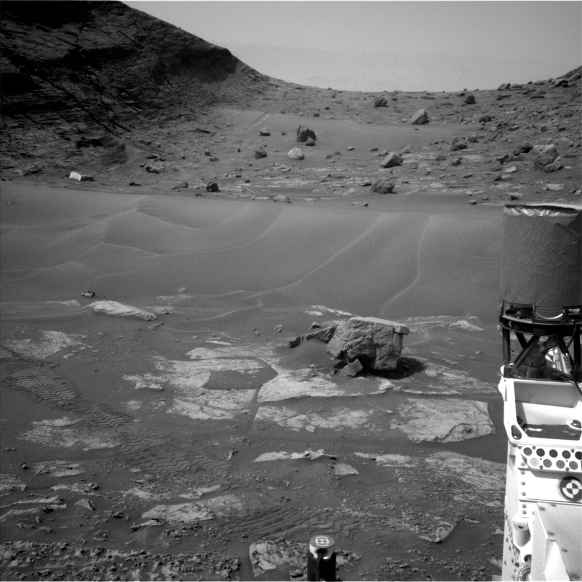
We are past the worst of the transverse aeolian ridges or sand ripples (“TARS”), just outside the thinnest part of Paraitepuy pass. It is satisfying to look back and see where we have just come from, through sand and rocks, through challenging terrain (in the accompanying Navcam image). The drive path forward is still slow going, but our current end goal is in sight now. We have been eyeing a patch of paler appearing rocks for some time, so our plan is to get to those and start figuring out why they appear and how they relate to the surrounding buttes: “Bolivar” (behind us on our right hand side), “Deepdale”(behind us on our left side) and “Orinoco,” “Kukenán” and “Chenapau” (left to right, ahead of us).
Written by Catherine O'Connell-Cooper, Planetary Geologist at University of New Brunswick


