4 min read

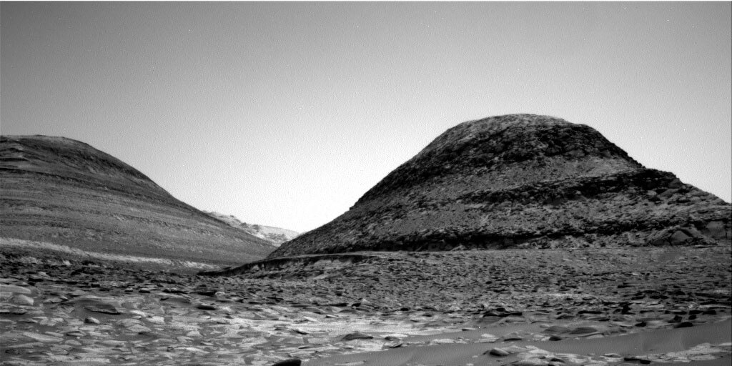
It was a busy day for the Curiosity uplink team! After our arm activity and data volume restrictions described by Lucy Thompson from last plan, we came in today with ~120% downlinked data performance and full permission to use MAHLI and APXS for contact science. Our small, ~11 m drive from Sol 3572 was successful and we arrived in front of some dark-toned, nodular rocks; our last chance at studying this material before heading into an area of lighter-toned, smoother rocks. Take a look at this Sol 3572 Navcam image showing the sandy transition between these nodular and smooth rocks. Today my role was on MAHLI/MARDI uplink, which includes putting together imaging sequences for the MAHLI/MARDI cameras, making sure our cameras are safe, and our images are being planned with best lighting in mind.
Since our arm workspace was filled with bumpy rocks, using the Dust Removal Tool to get dust-cleared arm targets wasn’t available. Instead, we planned for the arm to study two undisturbed targets named “Wadakapiapue” (from Venezuela) and “Kanuku” (from Guyana). The Wadakapiapue target is on a piece of dustier bedrock so MAHLI decided to take images up to ~6.9 cm away, but no closer since the dust cover makes it hard to measure grain size. The Kanuku target looked less dusty and more nodular from our Sol 3572 post-drive imaging, so MAHLI decided to try for a Quantitative Relief Model (QRM) imaging activity involving five images of the target from slightly different offsets to get a high-resolution model of the target topography. MAHLI's closest image of Kanuku will be from ~3.9 cm away. APXS liked the Kanuku target better as well and is planning to sniff the chemical composition of both targets, but Kanuku gets sniffed later in the evening which is best for minimizing thermal noise.
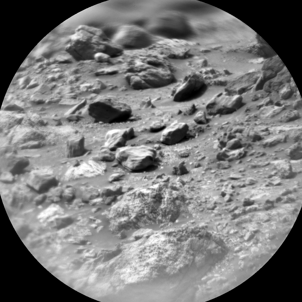
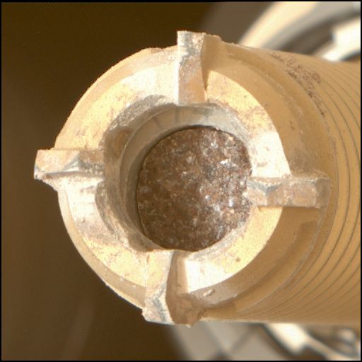
The arm itself is also a target today with ChemCam planning to use their Remote-Micro-Imager (RMI) to get super-close images of the drill bit before our next drill campaign (stay tuned for more details!). Here’s an example ChemCam RMI of the Sol 3572 “Isla Cangrejo" target.
The rest of our two-sol plan includes lots of remote science thanks to Mastcam, Navcam, and ChemCam; the trio of instruments living together on our mast ~2 m above the ground. Mastcam is planning higher-resolution mosaics of two distant areas: an 11-frame mosaic of a rubbly-looking ridge in our drive direction and a 15-frame mosaic of the base of “Orinoco" off to the east. They’re also planning an 8-frame mosaic on some near-field rock textures, a 3-frame mosaic of a rock we drove over last time (and may have broken), and a multispectral image of a possible meteorite in true color plus 12 other wavelengths of light which make a low-resolution reflectance spectrum plot to help confirm it’s really a meteorite. Meteorite fragments are more common on Mars due to its thin atmosphere and absence of tectonic activity. We sometimes find them on our traverse through Gale Crater: throwback to Sol 1505 when we found “Egg Rock”.
Navcam is conducting an exciting survey to search for cosmic rays in the middle of the night, ChemCam is shooting their laser at a target named “Paloma” (close to the APXS/MAHLI Kanuku target), and on Sol 3574 we’re hoping for another successful drive across the sand into the lighter-toned area described above. If all goes well, we should see a MARDI image of the lighter-toned stuff beneath the left-front wheel at twilight.
Last bit of good news for our Martian explorer: we’ve successfully passed through the shadows of “Bolivar" and “Deepdale” (named "Paraitepuy pass”) which made communications and image lighting harder to plan. This plan the sun will set behind Bolivar ~2.5 hours later than Paraitepuy pass to give us better image quality and ability to drive later in the day. Another exciting saga is ahead for Curiosity as we slowly turn southwest through the valley and continue to search for the sulfate-rich area hinted by orbital data.
Written by Natalie Moore, Mission Operations Specialist at Malin Space Science Systems


