3 min read

Coming into planning, we were ready for a standard “Touch and Go” plan, where we do some early morning science and then drive onto our next location. However, our workspace had some really great bedrock within arm reach, so we decided to convert the plan into a “Stay and Play” type of plan instead and spend more time characterizing the rocks here.
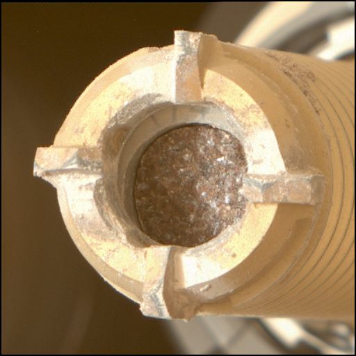
On the first sol of the plan, APXS and MAHLI will analyze the large nodules in the bedrock at the target “Nova Cintra” and a raised ridge feature at “Pirara” on the block closest to the rover. ChemCam will shoot at the block behind this, using LIBS to analyse at “El Triunfo.” MAHLI will image the same target after the LIBS measurement, as the active laser used by ChemCam has the handy side effect of clearing away dust and sand. On the second sol of the plan, ChemCam will use LIBS to look at a second nodular target “El Manteco” and Mastcam will image both El Manteco and El Triunfo.
ENV planned a Dust devil movie and a Mastcam tau observation, which measures dust in the atmosphere, in addition to REMS and DAN active and passive measurements.
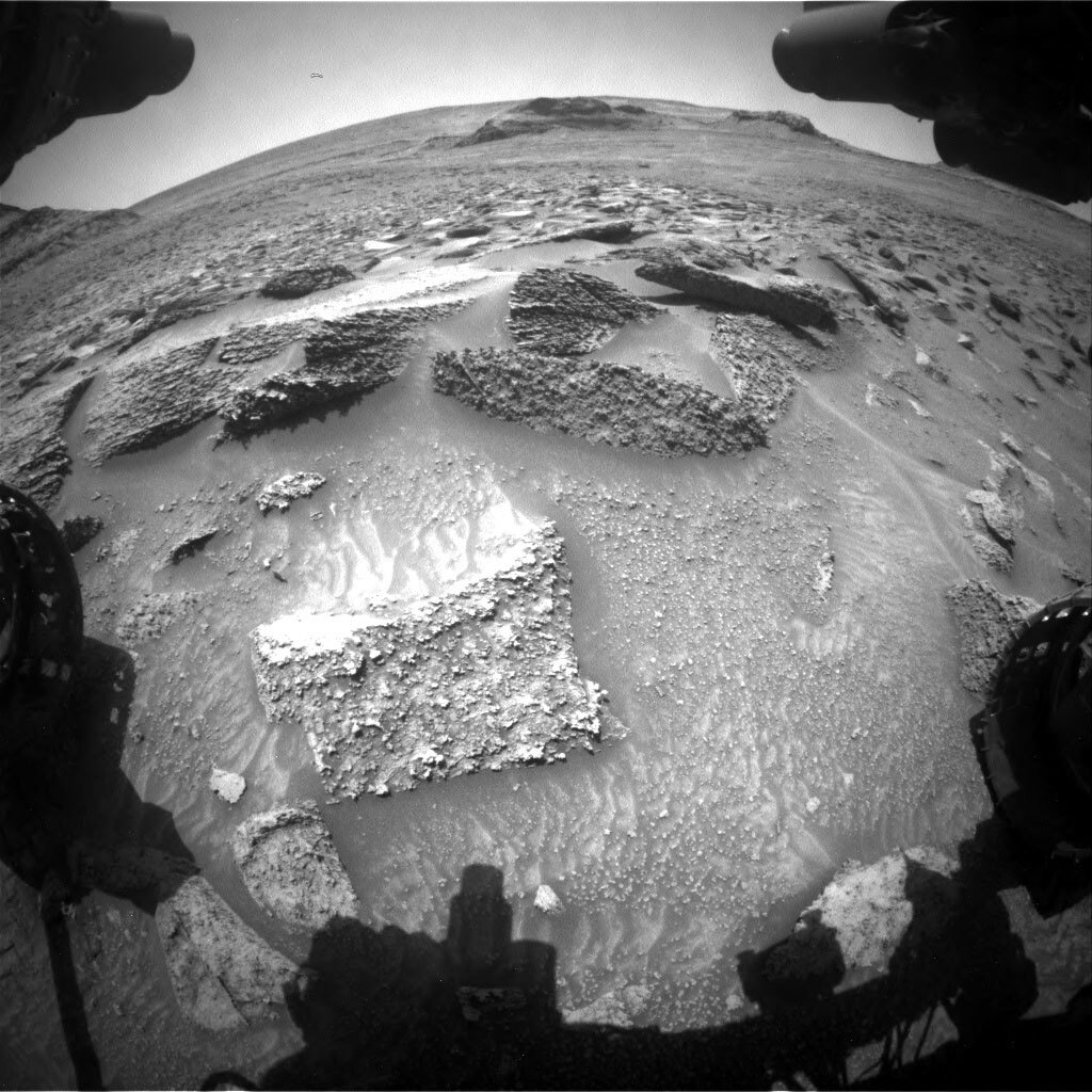
As our Science Operations Coordinator Elena described a few weeks ago, we have been longing to get here to the “Marker Band Valley” (an area which has an orbital signature suggesting the presence of Mg-sulfates) for the past 10 years, and so we are investigating this area very thoroughly. Our recent long-range planning for this part of the campaign identified two areas of prime interest (“Area 1” and yes, you guessed it, “Area 2”) which have intriguing textures and potentially tonal differences. Right now, we are moving from Area 1 into Area 2 (dead ahead in the accompanying Front Haz image) so it is important to get as much information and context, looking in particular for any transitions or changes.
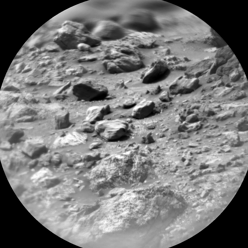
Mastcam and the ChemCam RMI (long distance imager) are both key instruments for this sort of campaign. The Mastcam mosaic “Progresso” looks at a stretch of vertical faces in the left of the Front Haz image. The larger mosaic “Lago Ano Bom” looks further ahead into Area 2, where we hope to end up later in the week. The ChemCam RMI target “Uiramuta” also looks at bedrock further into Area 2. Mastcam will also look at a layer called the “Marker Band” in the Orinoco butte (you can just see the edge of the butte on the left-hand side of the Front Haz image) – the valley is named after this layer, which is identifiable through out this area.
We will not drive in this plan, so Wednesday will find us in the same place, but armed with more information about our path forward.
Written by Catherine O'Connell-Cooper, Planetary Geologist at University of New Brunswick


