4 min read

I was on shift today as Science Operations Coordinator (SOC) – an exciting role to have, especially on complicated days where communication between teams is key to a smooth operation.
We woke up this morning to a lovely new workspace in front of us after Curiosity drove about 11 meters up and over a small ridge during the weekend, getting us on top of the Marker Band. The notional plan coming in this morning had us unstowing the arm and looking at several targets with MAHLI and APXS which often involves getting pretty close to the surface, sometimes touching with APXS. In order for the science team and the rover planners to feel comfortable that the rover will remain stable as we use our arm, they go through a checklist called the “Slip Risk Assessment Procedure” or SRAP. Based on the tilt of the rover, what rocks are or are not underneath the wheels, and other technical factors, this checklist helps us determine what arm activities are safe for the rover to perform. This analysis is done by both engineers that understand the technical capabilities of the rover and geologists who can consider how the rocks or regolith may behave.
The analysis can take time on complicated days leaving the science team juggling how they might adjust the plan pending the outcome of that assessment. The science team was eager to place APXS on the rocks above the Marker Band – our first “whiff” of the chemical composition but unfortunately, we learned that because our left-front wheel was perched on a rock, our risk of slipping was not negligible and we could not touch the surface with APXS or get closer than 5 cm with our MAHLI instrument. As SOC, my job was then to help the science team understand how we might rearrange today’s plan to respond to this new information and get the most out of the two sols we had for planning before our next uplink on Wednesday.
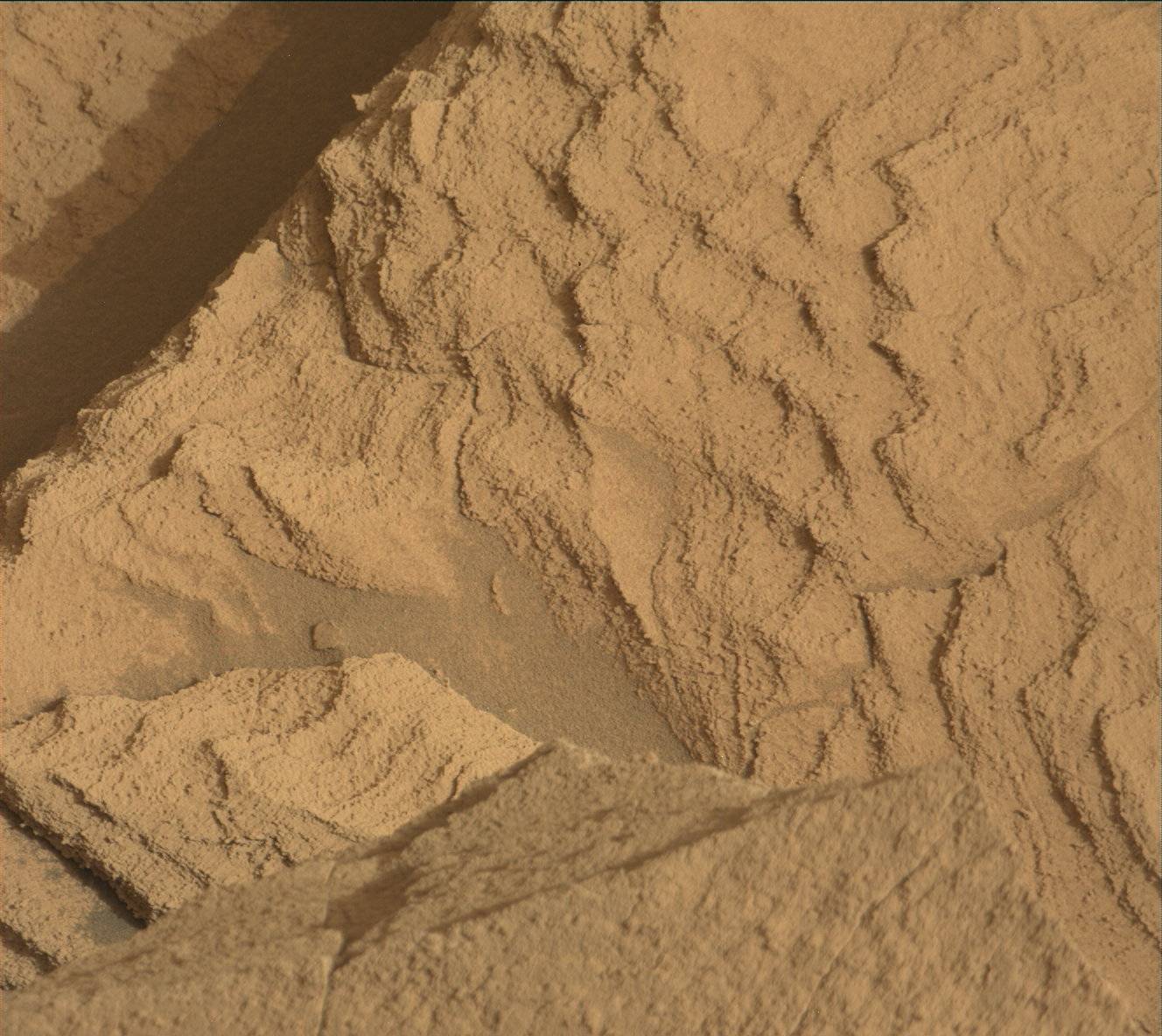
Given this news, we quickly pivoted to looking at two targets, “Acara” and “Ixi” with MAHLI at higher stand-offs and then driving away on the first sol. By driving on the first sol we gained substantial downlink of all our post-drive imaging – which will set us up well for our next planning day on Wednesday. This is what makes the SOC role so exciting – being prepared to discuss the pros/cons of arranging the plan in certain ways and facilitating discussion between scientist and engineers.
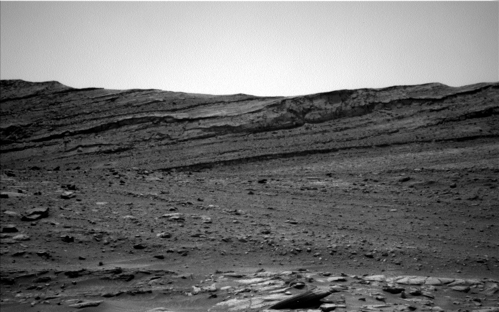
Our two-sol plan starts off with a targeted science block where we are first investigating the chemical composition of the “Ixi” bedrock target with CCAM LIBS – this provides different but complementary chemical information from what APXS would have provided. We also use our ChemCam RMI to take a long-distant mosaic of nearby ridges. We follow up those observations with Mastcam to document our LIBS target, and take stereo imaging around us – as you can see from the above image we are surrounded by lovely buttes – these images will help us understand their context and how the stratigraphy revealed on each of them relates to the other.
In addition to the “Ixi” bedrock target, MAHLI will also image the target “Acara,” a bright white vein infilling that crosscuts the bedrock. Veins like this typically form after the rock has been emplaced and provide a snapshot of the kind of alteration the rocks have experienced since first being deposited.
We will also get a rather long drive in today, about 55 meters, skirting some larger boulders seen in the Navcam image above. This drive will hopefully get us to within a few more drives of our next imaging stop where we hope to get a nice vantage point of Gediz Vallis ridge.
We will wrap up the plan on the second sol with some environmental monitoring activities like a dust devil survey and a Navcam movie that searches for clouds in the sky. We’ll also use ChemCam’s autonomous target selection capability to look at the composition of a target after our drive.
Written by Elena Amador-French, Science Operations Coordinator at NASA's Jet Propulsion Laboratory


