4 min read

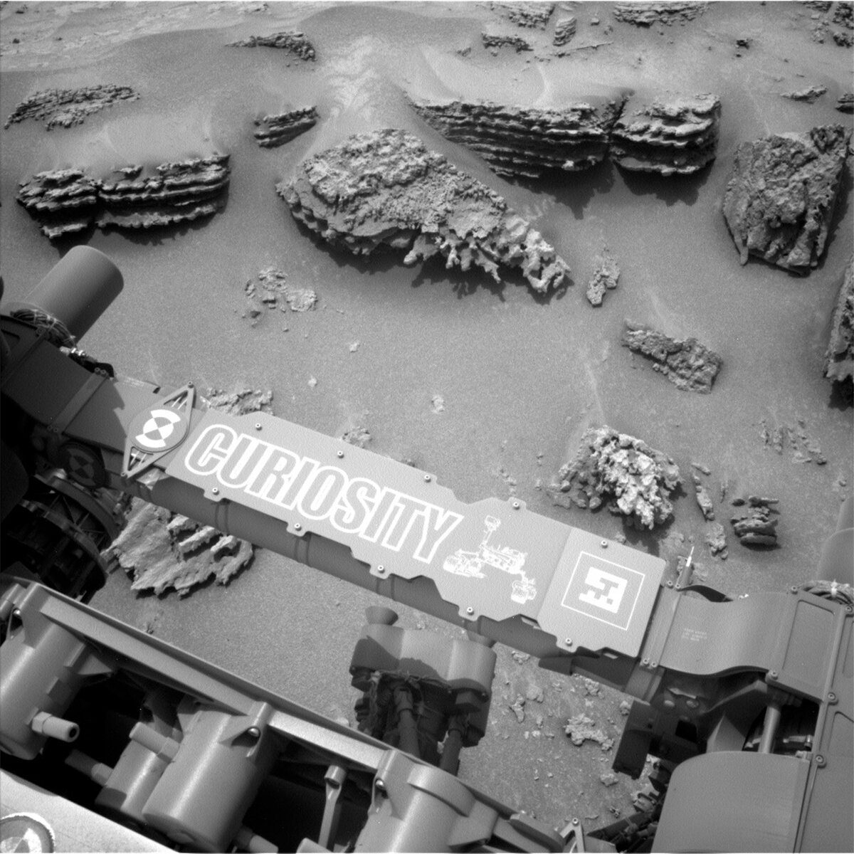
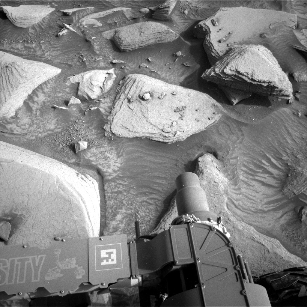
Today we are parked in front of an amazing workspace (seen in image) on the edge of the Marker Band.
On the first sol of the plan, the rover gets a chance to recharge and do some extensive imaging. We have a 21-frame stereo imaging mosaic and a multispectral image of the workspace, centered on a target named “Saracura.” We also take CCAM LIBS observations of the contact science target “Mixiguana,” shown in the upper middle of the image, which is a block with resistant and distinct layers. We also take an RMI 6-frame mosaic of the target “Aniqui,” which is a nearby ripply float rock. The first sol’s science activities also include a large Navcam dust devil survey.
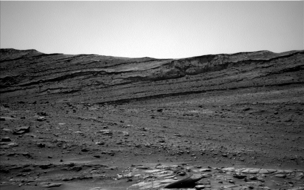
On the second sol we do some additional imaging. We take Mastcam mosaics of the Marker Band and the ”Sauba” target, which is an interesting ground target off in the distance. We also take an image of the target “Malacheta,” which is a possible piece of bedrock just below the Marker Band. We also take CCAM observations, including LIBS on Malacheta and a long-distance RMI of a further spot on the Marker Band. There are also some atmospheric observations, including a dust devil survey and a supra-horizon movie to look at dust in the atmosphere.
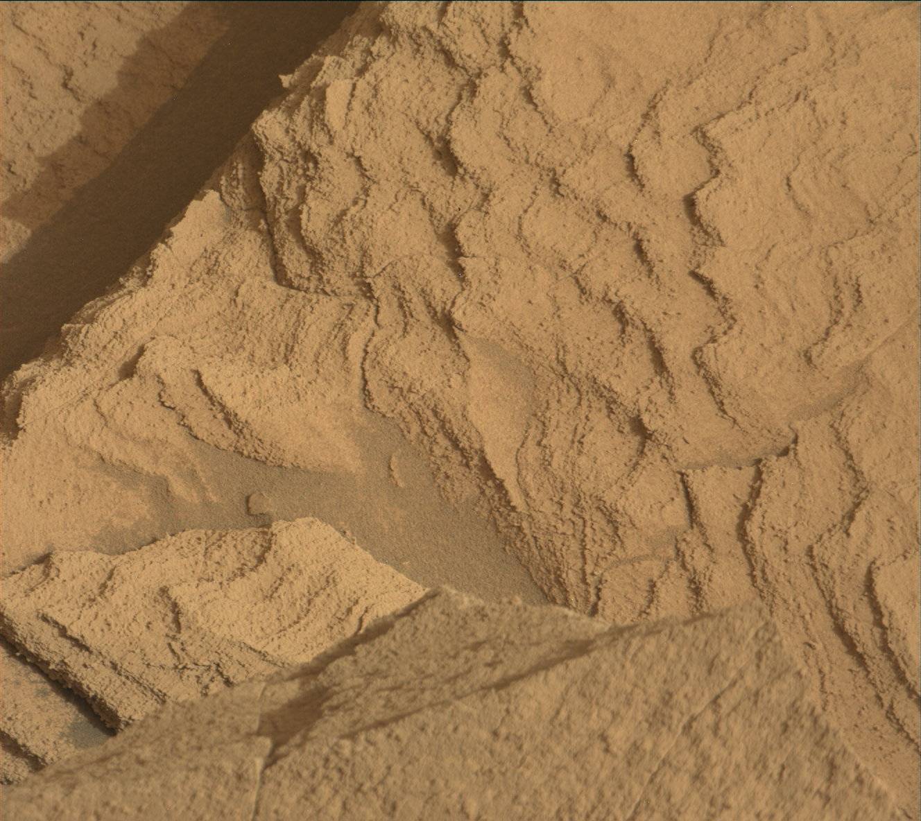
After the targeted science, we have a lot of arm activity. I worked with another Rover Planner on the arm activities today. And it was good thing there were two of us: the contact science arm activities were particularly complex to sequence today. The first priority is a low-angle view with MAHLI of MixiguanaIt, which is important to view edge-on due to layering. It has a lot of relief to it and it is significantly tilted, requiring us to get very close to the ground with the turret in order to image it. We are taking a 2x6 mosaic of images with MAHLI about 15cm from the surface of Mixiguana, covering as much of the visible face as we can reach. In addition, we are taking a stereo pair of images at 25cm and also a 5cm image at one location where it was safe to get closer. In addition, we are doing MAHLI (25cm, 5cm-stereo, and 2cm close approach) images and APXS on another target, “Mocra,” which is on the top of block in front of Mixiguara (in the center of the image), as well as a 5cm MAHLI and APXS on an offset target about 1.5cm away from Mocra.
On the third sol, we kick things off with two large mastcam mosaics: a 31-frame of “Bela Vista” Hill and a 360-degree, 136-frame view. We also image the other contact science target, Mocra, with mastcam and CCAM.
The drive, which is also on the third sol, is driving 8-9 meters to get us up onto a ridge. We are eventually heading to a location about 70m away to get a better view of the Gediz Vallis Ridge. Lots of medium sized rocks are on the edge of the ridge, so it was tricky to find a good place to climb up. After exploring a lot of options, we found a good place nearby. The area leading up to that climbing point is fairly sandy; in addition to the higher tilts we may get more slip due to the sand as well. We are taking extra precautions to make sure we have a better chance of succeeding despite the potential for high slip.
Early the next morning, before handing over to the next plan, we have some additional atmospheric observations, including a Mastcam solar tau and Navcam zenith (looking up) and suprahorizon (looking out).
Written by Ashley Stroupe, Mission Operations Engineer at NASA's Jet Propulsion Laboratory


