3 min read

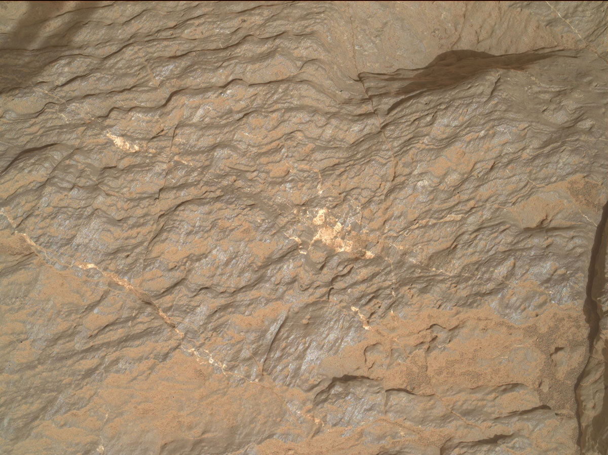
Curiosity was parked amongst beautiful, rhythmically layered bedrock in our previous workspace. The term rhythmic is used to describe fine scale, repeating layers that exhibit a uniform spacing and thickness. This bedrock was exposed just above the marker band that we had been investigating for several sols prior. The marker band has been mapped from orbit and appears to be a relatively continuous feature around Mount Sharp. We observed possible ripples in the marker band and the relationship between these and the overlying rhythmically layered rocks is important to investigate with the full instrument payload. Unfortunately, Curiosity had one wheel slightly elevated on a rock, and it was not safe to place the turret on the surface, so we were not able to get compositional data with the APXS instrument. We are hoping to drive back this way and will try to place APXS on these fascinating rocks to get bulk chemistry that we can compare with the underlying rippled rocks. We did manage to get MAHLI images from a safe standoff and the “Acara” image is one of these.
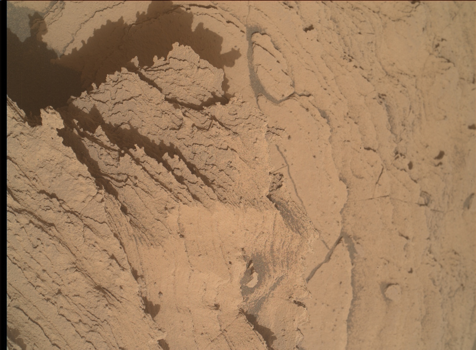
We drove away into a slight depression, and found ourselves in a very different looking, dusty and soil covered terrain. Thankfully the rover is parked in a safe and stable spot, and we can unstow the arm, brush the dusty surface and place APXS and MAHLI in close proximity to the rock (“Cana”), as well as get Mastcam imaging and ChemCam LIBS before we drive away. As the APXS strategic planner today, I requested the brushing of the rock prior to analysis with APXS to improve the quality of the data. There was a chance that this may have been too complex or taken too much time, but the team managed to fit it in along with all the other desired observations and activities. The textural and compositional data that we obtain here will be interesting to compare to the previous workspace, the rippled marker band, the bedrock immediately underlying the marker band, as well as the rock we will encounter as we continue to climb. MAHLI will also take close-up imaging of the nearby “Dalbana” target.
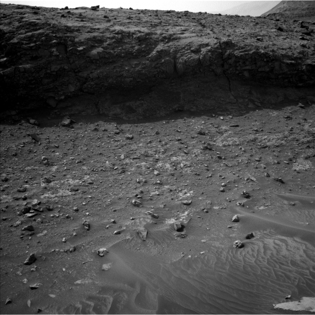
As well as looking in the near field, Mastcam and ChemCam RMI will also document features further afield including: fracture networks and their relationship to bedding (“Viruaquim”); light-toned fill in bedrock fissures within the “Canta” butte; stratigraphy of the north face of the “Bela Vista” butte and surrounding float blocks; bedrock exposures within the trough wall and floor (“Coatu” and “Cipo”) that we are currently driving through (“Jatapu”).
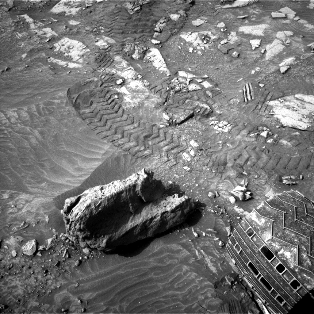
To fully document the terrain below us, and any transitions that may occur as we drive, a MARDI sidewalk video was also planned. This is complimented with a MARDI image that we will acquire after the drive. An untargeted ChemCam AEGIS activity after the drive will also give us a preliminary look at the composition of the rocks in our new workspace.
The environmental science team were also busy and planned several observations to continue monitoring changes in atmospheric conditions. These include: a Navcam large dust devil survey, a dust devil movie and line of sight observation; Mastcam crater rim extinction and basic tau observations; and a ChemCam passive sky observation.Standard REMS, DAN and RAD activities round out this plan.
Written by Lucy Thompson, Planetary Geologist at University of New Brunswick


