2 min read

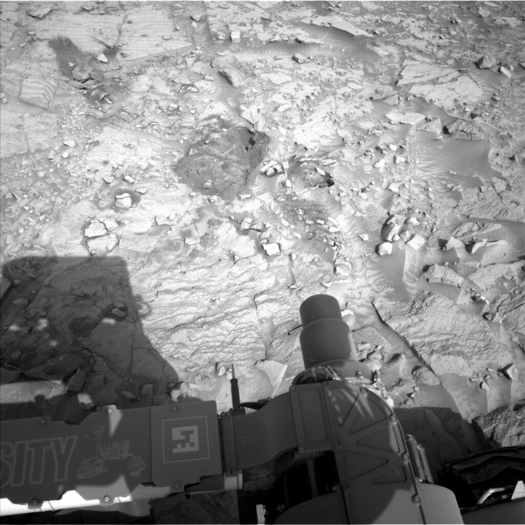
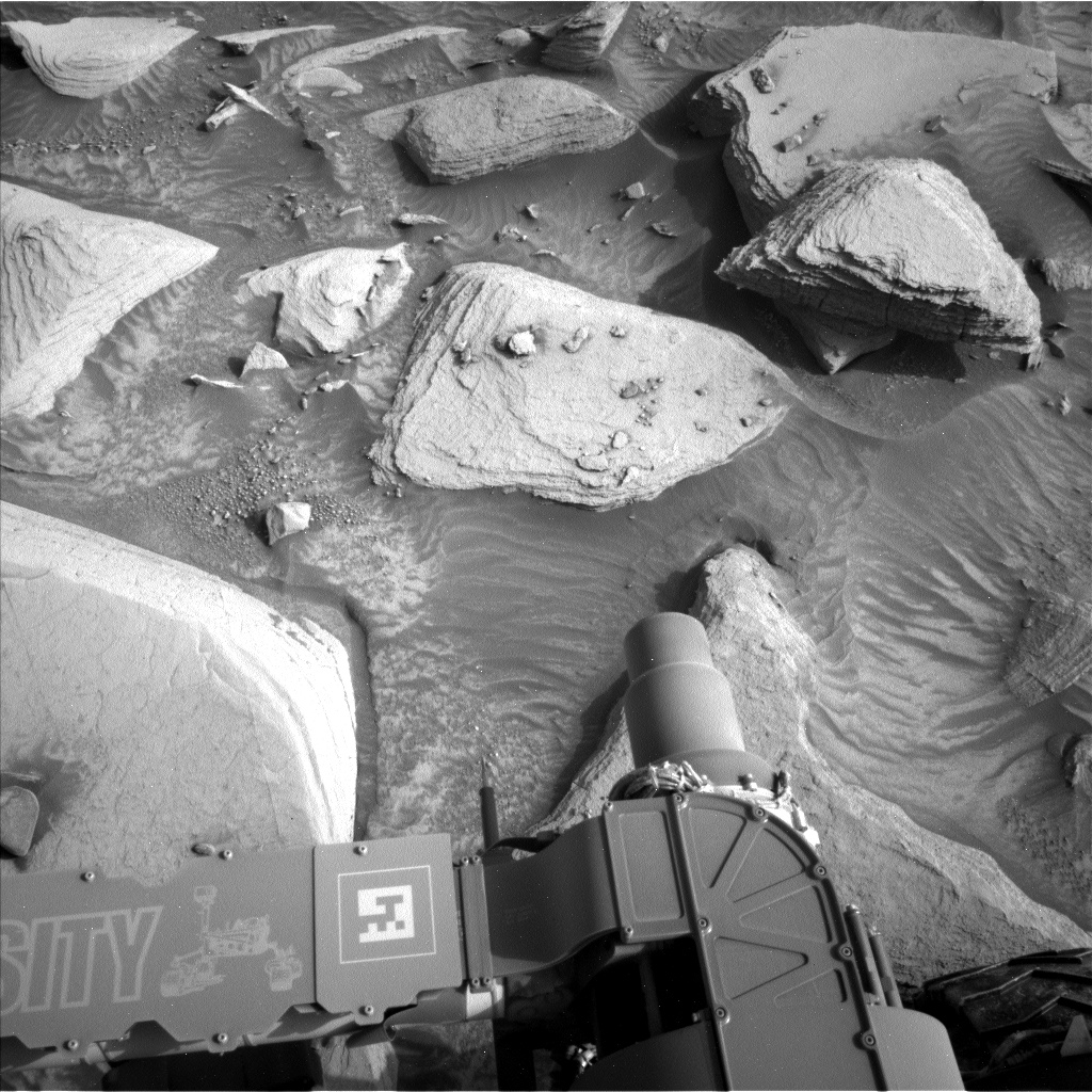
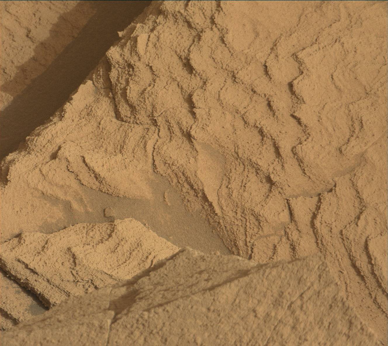
Curiosity drove ~25 meters back toward the Marker Band from our detour to the Gediz Vallis Ridge and has returned to the rhythmically layered bedrock we observed on Sols 3648-3649. The first time Curiosity encountered these rocks we were unable to analyze them because one of the rover’s wheels was perched on a rock. Now that we are parked safely, we will use a “Touch and Go” approach where Curiosity will have a busy morning collecting images and data before driving ~15 meters to our next location.
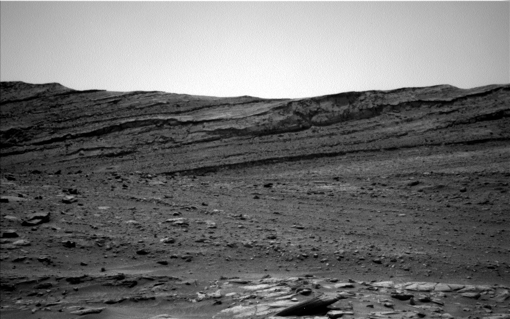
On the first sol of this two-sol plan, the rover will characterize the rhythmically layered bedrock at the “Roxinho” target using a suite of instruments including the Dust Removal Tool (DRT), APXS, MAHLI, ChemCam LIBS, and Mastcam Multispectral. Multispectral Mastcam images are also planned at “Niquia” to document bright soil near the rover and at “Jufari” to examine rocks that were broken by the rover wheels. Mastcam stereo images will document the rhythmically layered bedrock at “Sao Jorge” and the structures in the Marker Band at “Uatuma Anaua.” To round out our imaging, ChemCam will use its Remote Micro-Imager (RMI) to take images of the Gediz Vallis ridge in the distance to study the contact between inverted channel deposit and underlying Mt. Sharp Group rocks. The science on Sol 3670 will include ChemCam AEGIS and basic tau observations.
Written by Sharon Wilson, Planetary Geologist at the Smithsonian National Air and Space Museum


