3 min read

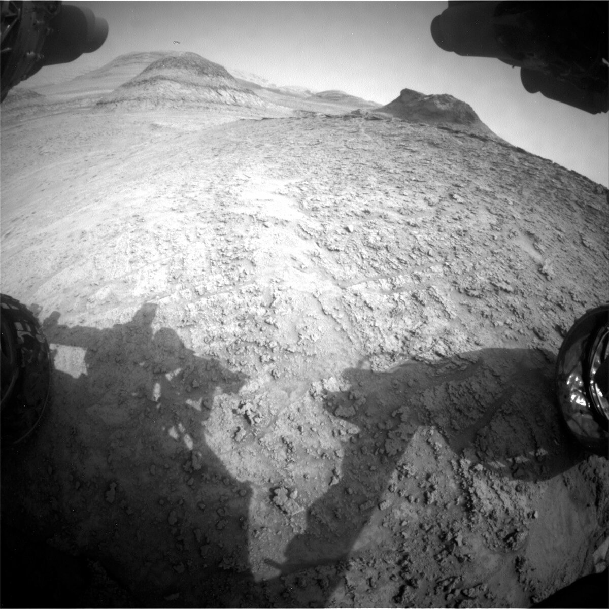
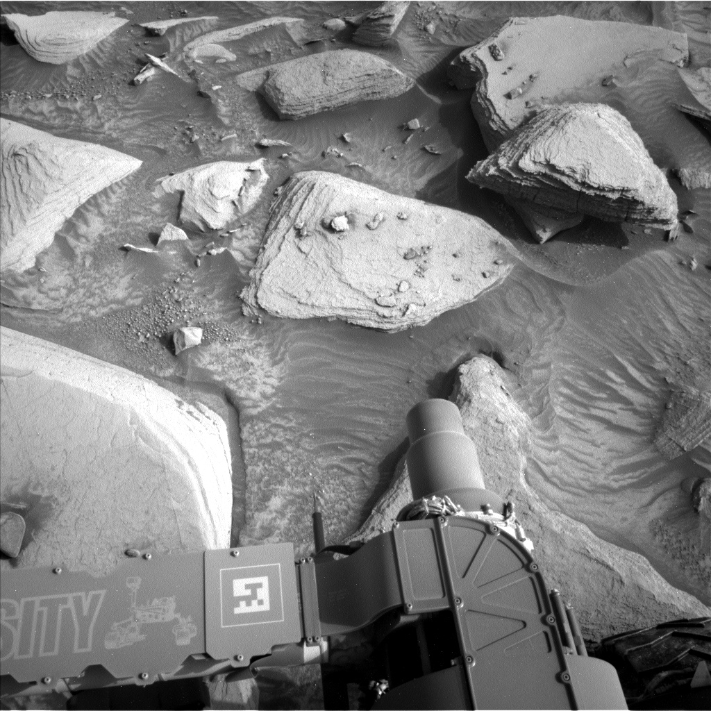
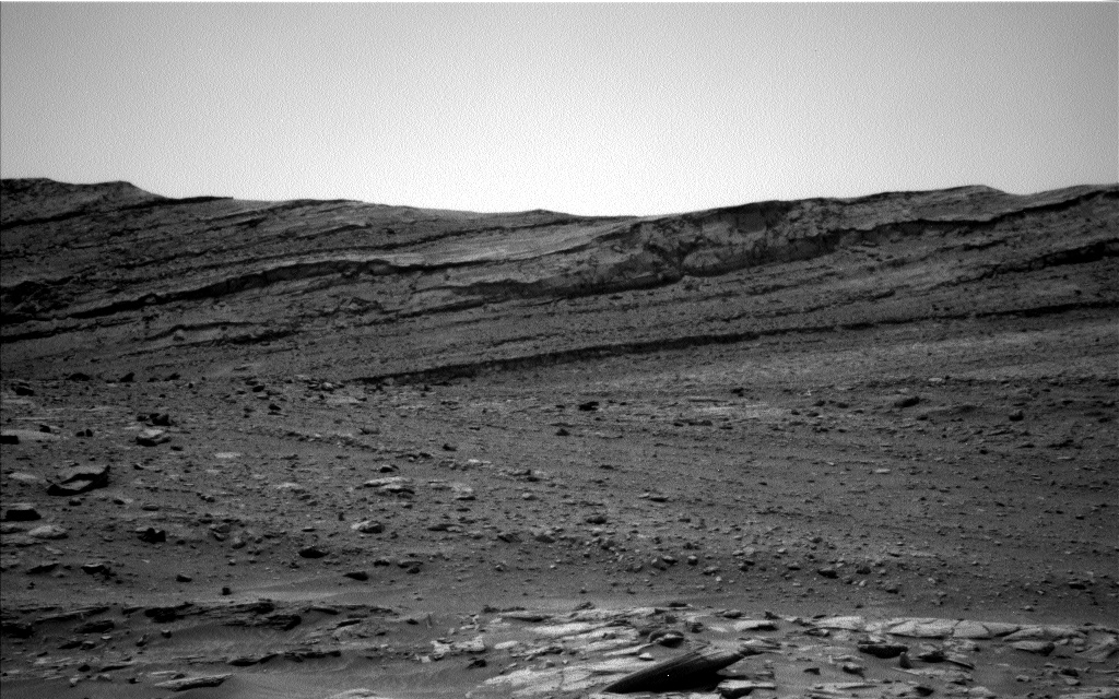
The team came into our first day of planning for 2023 to learn that all our holiday activities had executed as expected! As Curiosity ages, we are thankful that she continues to do amazing science on Mars, and the holiday plans were no exception. We finished up our investigations at the Marker band (for now anyway), analyzed bright material revealed in a scuff just below the Marker band and drove to the south to continue our climb of Mount Sharp. Our view this morning revealed dusty, in place bedrock with dark fragments scattered over the surface, which do not appear to be in place. These dark fragments may be pieces of the Marker band or they may be associated with the in place bedrock just to the right of the rover. Our activities are focused on documenting the chemistry, texture and context of the rocks in front of the rover, as well as looking further afield at the Marker band as it extends south, and the surrounding and distant buttes.
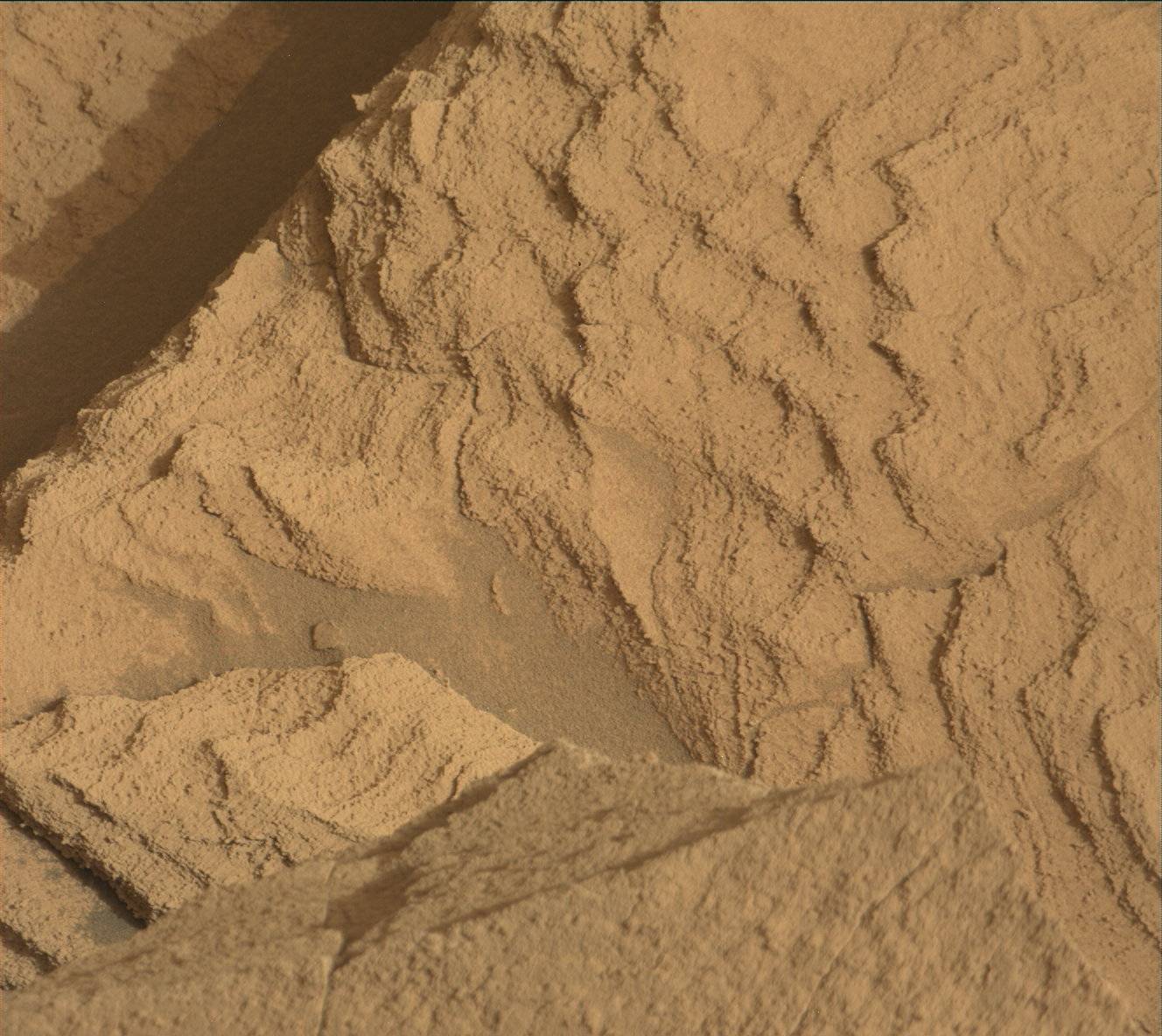
ChemCam is analyzing two targets (“Uafaranda” and “Aliquelau”) with LIBS to document the chemistry of the bedrock at different distances from the nearby, overlying Marker band. Do we see a change in the composition of the underlying bedrock as we get closer to the Marker band that might indicate alteration associated with the contact? To complement these observations, we are also investigating the “Uafaranda” bedrock target, after brushing to remove the ubiquitous dust cover, with APXS (chemistry) and MAHLI (close-up imaging). APXS and MAHLI will also be used to examine the composition and texture of one of the dark-toned rocks (“Anarem”) that are strewn across the surface. This might help us determine the origin of these rocks. We are also documenting all three of these targets with Mastcam, as well as some nearby regolith-filled troughs (“Aoiau” and “Arraia”).
We will image the Marker band at this location with Mastcam to look for lateral changes in its texture and structure relative to our previous locations, and some nearby buttes (“Alto Alegre”) for context with the surrounding terrain. ChemCam long distance RMI mosaics will also be acquired of sections of two other buttes off in the distance.
On the second sol of this 3-sol, New Year plan we hope to continue our path south by ~50 m. To fully document the terrain below us, and any transitions that may occur as we drive, a MARDI image is planned for after the drive.
The environmental science team were also busy and planned several observations to continue monitoring changes in atmospheric conditions. These include: a Navcam large dust devil survey, a dust devil movie and suprahorizon movie, and a Mastcam basic tau observation. Standard REMS, DAN and RAD activities round out this plan.
Written by Lucy Thompson, Planetary Geologist at University of New Brunswick


