2 min read

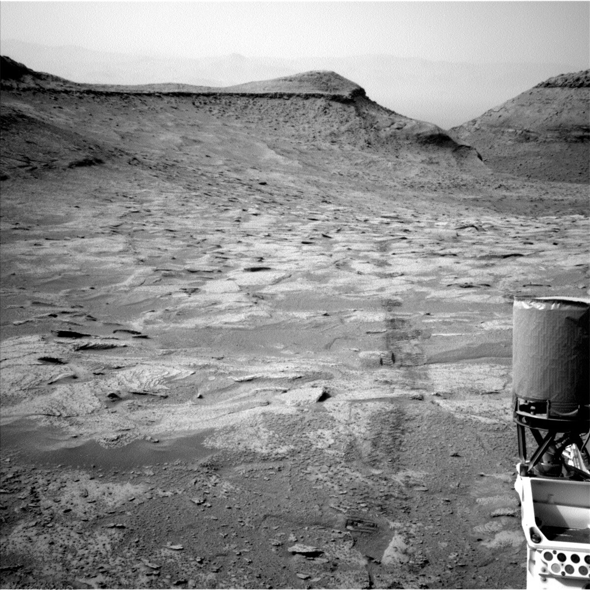
At this point in the mission, the team is very good at responding to tactical surprises. Today, we did not receive the necessary downlink to proceed with the nominal plan. Fortunately, we received enough downlink to know that the last plan finished successfully and the rover is safe. All we need to do is wait for the missing data and keep going! We have enough images to look at the terrain that is in the distance, but not enough to see what is in front of the rover right now. This means we cannot do contact science or drive, but we can take in the view with plenty of long distance images in today’s plan.
Several Mastcam mosaics are included in this two sol plan. First, Mastcam is characterizing some distant terrain at the base of Chenapau that we expect to drive to soon. There is also a Mastcam mosaic that covers Amapa from a different angle. The plan also includes the “Tupaquim” and “Uaiu” mosaics, which both target features that are exposed below the marker band. Tupaquim targets dark-toned bands, and Uaiu targets potentially wavy layers.
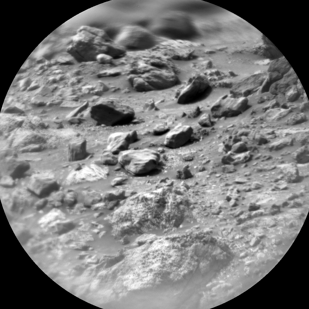
The two ChemCam LIBS observations occur a little closer to the rover on targets “Iracoume” and “Moreiru.” These targets are to characterize the closest bedrock that is visible in the images that were downlinked. The plan also includes two long distance RMIs: one on the flank of Chenapau and another on the marker band.
Written by Kristen Bennett, Planetary Geologist at USGS Astrogeology Science Center


