3 min read

Your blogger is a little tired right now… I am just back from a field trip to the salt flats in Botswana, guided by colleagues from BIUST University, walking, viewing and sampling in 38 °C heat. It was great to walk around and see with my own eyes geology relevant to Mars here on Earth. This enhances my – and more generally our - understanding of the physical and chemical processes that underly observations on Mars. I have been doing some analogue research in the Ntwetwe Pan, but while looking at the vast, muddy plains could not keep myself from thinking back to Mars. Is that how the area around the clay bearing unit we travelled through earlier in the mission would have looked like when the water was just starting to dry off? I can see similarities and differences, and both can inform our work on Mars and our interpretation of the data we receive. But, back to Mars!
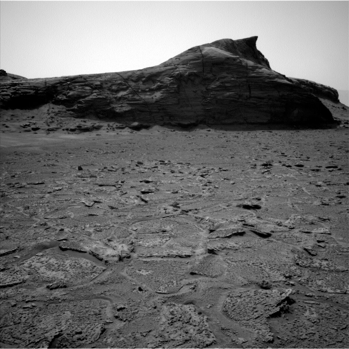
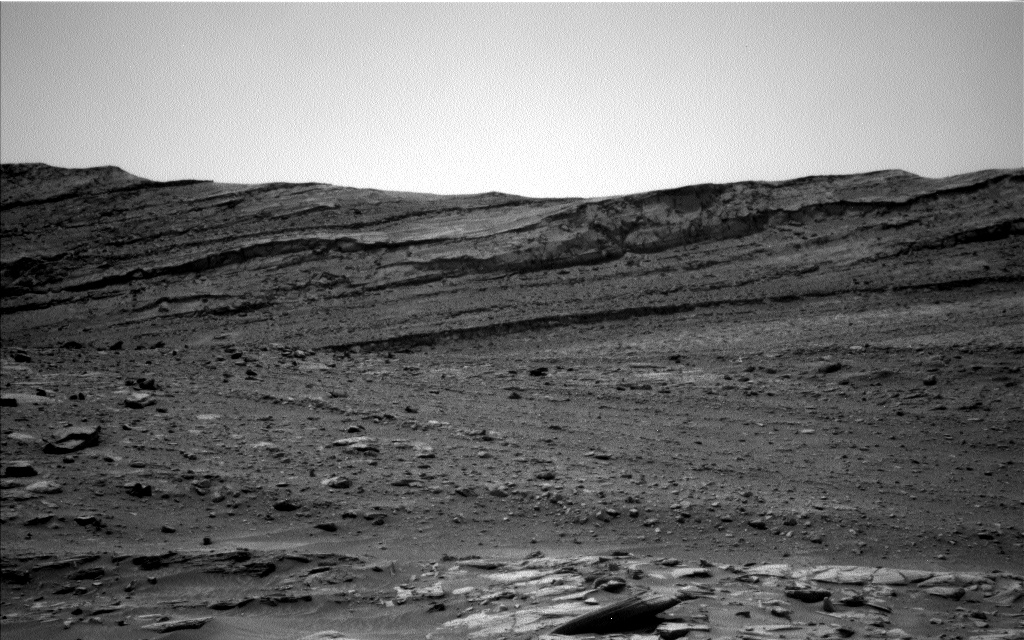
Today’s planning started with a discussion where to drive next. We had spotted features in the distance, including a triple junction of rock layers, and are now aiming for those, and for a large, dark rock just before that. Carefully surveying each image for features that look different allows us to spot the unknown, the new, and the change, and then put all our instruments to work to understand what we see. Piece by piece, the picture of the geology of Gale crater grows and with it our understanding of Mars as a planet. The triple junction is especially important, as it is expected to allow us to see how the different rock layers are related to each other.
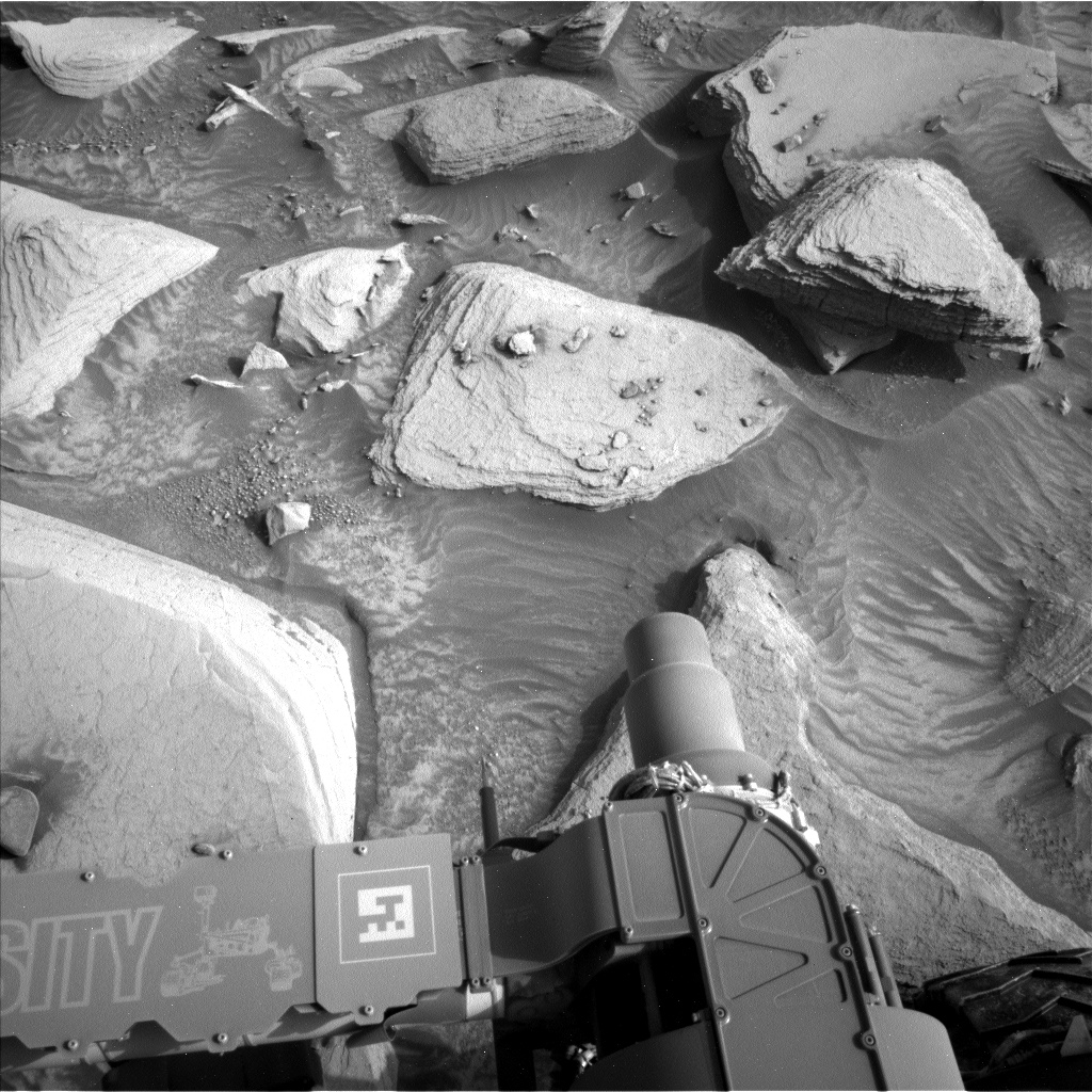
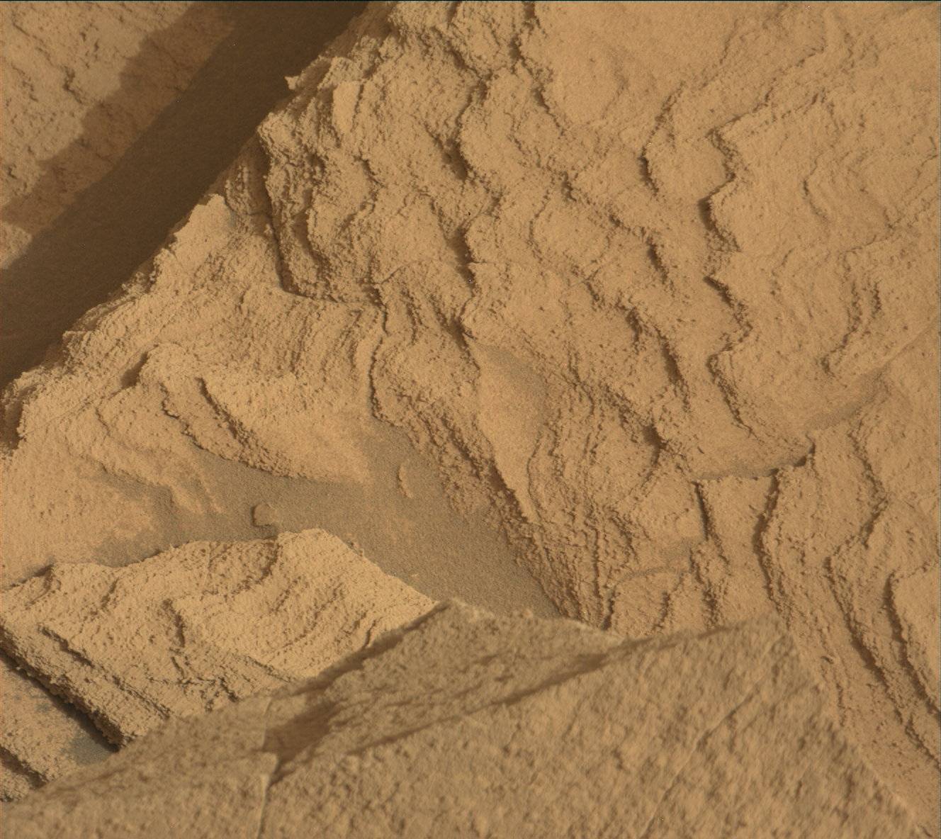
But before we drive, Curiosity will be busy at its current parking location with two APXS targets, which will also be documented by MAHLI: “El Descanso” and “Peters Mine.” MAHLI in addition performs a dogs-eye view to document sedimentary features on a target named “Semang Peak.” All of those will add to the understanding of the chemistry and formation conditions of the differently textured rocks. Mastcam will document the various features around the rover and at a distance. There will be a mosaic to further look at the marker band feature. Yes, that’s the rock that so far was too hard to drill, most recently as target Encanto. Mastcam will also document an area around target “Cacao” and “Telhiero,” as well as take single frame images of the ChemCam LIBS targets “Mapiripana” and “Potaro.” ChemCam also performs long distance RMI imaging on target “Amapa.”
Atmospheric observations include a dust devil survey and horizon movie. DAN is taking a passive measurement, allowing us to get a full set of data once more, including atmospheric measurements and water in the subsurface under the rover. Then the rover will drive off to Cacao, the large rock spotted at a distance, and upon arrival take a MARDI image and a set of Navcam and Mastcam images that will allow understanding the new parking location for the planning in two days’ time.
Written by Susanne Schwenzer, Planetary Geologist at The Open University


