5 min read

Today we made a three-sol plan for the weekend including contact science, lot of imaging, and a long drive back toward the previously attempted marker band drill target, Encanto. After additional exploration of the marker band, the team decided it was worth turning around and trying to drill again in the same general location as Encanto. I took on a new role as Engineering Uplink Lead (EUL), managing the engineering activities in the plan, such as data management and heating. We had a lot of stuff in the plan today, which made meeting our power guidelines difficult. The Tactical Uplink Lead (TUL), Science Planner, Science Operations Coordinator (SOC), and myself worked together to optimize things to make sure we could keep all our activities.
Curiosity has a bit of a lazy morning, sleeping in a bit before waking up to do imaging and contact science. The workspace today is covered with pebbles and small cobbles lying on the surface. We begin with some Mastcam multispectral imaging of two small foreign rock targets: “Paraiso,” which is a dark gray stone, and “Petro,” another possible meteorite. We also take a large stereo mosaic of the future route to continue to ascend Mt. Sharp. ChemCam then takes a LIBS observation of the target “Yavico,” which is one of the larger cobbles in the area. Finally Mastcam takes a documentation image of the Yavico ChemCam target. After another nap, Curiosity wakes up and starts to exercise the arm. First, there is some housekeeping to do by taking some ChemCam RMI images of the drill bit to help track bit wear. Then, the Rover Planners planned MALHI imaging on two cobble targets, Paraiso and “Pasamoni.” The challenge with cobbles is that they are small which requires extra evaluation time to ensure the placements are safe and likely to be successful. Short APXS evening integrations are done on both targets, which are fortunately just big enough to place the APXS on without having to hover. Before going to sleep for the night, Curiosity stows the arm to prepare for the next day’s drive.
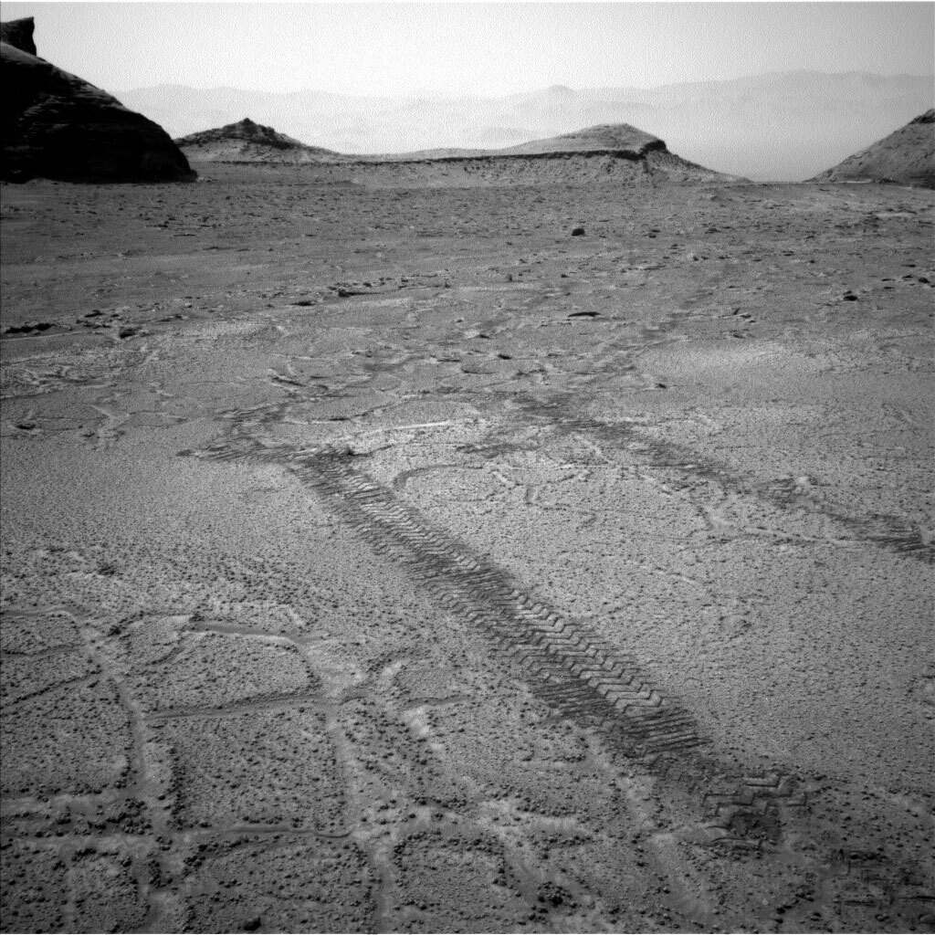
Curiosity also gets to sleep in a bit on the second sol before waking up to take more imaging. Mastcam takes three large mosaics. First is a stereo mosaic of the troughs in the polygonal patterns in the ground nearby, which are visible in the image. Next is another stereo image of “Tawakoni,” looking at the rover tracks as they cross from terrain with troughs to terrain without troughs to look for any differences in how the terrain was disturbed. ChemCam then takes a LIBS observation and Mastcam documents “Xaraco,” which is another small foreign rock nearby. With the imaging done, Curiosity is ready to get on the road. The Rover Planners had a challenge today, driving nearly 100m back in the direction of Encanto. Normally, driving that far would require using autonomous navigation to avoid hazards that are too far away to see. But today, the Rover Planners could make use of all the imaging we took on the way here to plan a safe drive and set us up to find another potential drill target. The image shows some of the nearby tracks that we’ll be approximately following back to the Encanto area. As seen in the image, the terrain is fairly flat so we don’t expect much slip taking Curiosity off the planned route.
After the drive, we do another engineering activity which looks at the sun in order to cancel out any error that has accumulated in Curiosity’ onboard estimate of roll and pitch. This is essential to do in order for the rover to understand the terrain and whether a path is safe, as well as to know where to find Earth and the orbiters in the sky for communication. We follow the drive up with a standard set of imaging for driving and contact science, as well as some extended upper tier imaging and a Mastcam solar tau (imaging to monitor dust in the atmosphere). Near sunset, we also take some additional imaging with Navcam and Mastcam to look for clouds and a MARDI image to see the terrain under the rover. The image shows how hazy the horizon is, due to dust in the atmosphere.
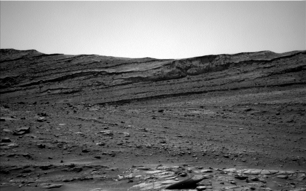
On the last sol of the plan, Curiosity gets an earlier start on more imaging. AEGIS is used to autonomously find some interesting outcrop to image. Navcam does a suite of atmospheric imaging, including looking for dust devils and a suprahorizon movie to monitor dust in the atmosphere. Mastcam also takes a look at the rover deck to monitor dust accumulation there. After a long rest, Curiosity wakes up early the next morning, before handing over to the next plan, to take some additional Navcam atmospheric images and another Mastcam solar tau.
Written by Ashley Stroupe, Mission Operations Engineer at NASA's Jet Propulsion Laboratory


