4 min read

Today, I was heading for my computer when my colleagues went off to celebrate the end of the working week. Yes, that’s right, planning started at 5 pm in my part of the world (the UK) today. That was one hour later than anticipated (and I would have missed all my colleagues going ‘Have a good weekend!’) Why that late? Most days, we start an hour earlier, at 8 am in Pasadena California, not 9 am, like today. Today, we only got data that we required for the planning day at 8.45 am Pasadena, after they acquired a slight delay on the way off Mars and had to take the next orbiter to get here. You may have seen reports of not transmitted or delayed data before, and this can happen for any number of reasons, and most of them are just an issue or change somewhere in that long chain of events that have to happen just right for us to get the data on time. If you want to know more, here are all the details! So, the data missed the bus, figuratively speaking, and I had to content with my colleagues telling me all about their weekend plans before I went to my shift. … but of course I had a great answer to what I was up to on a Friday night: doing mission planning, which is always a lot of fun. And nothing tops looking at new images from Mars, hot off the orbiter!
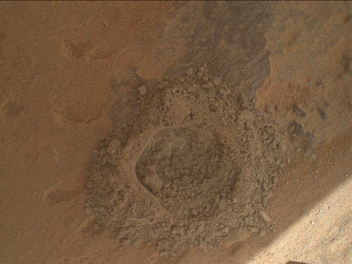
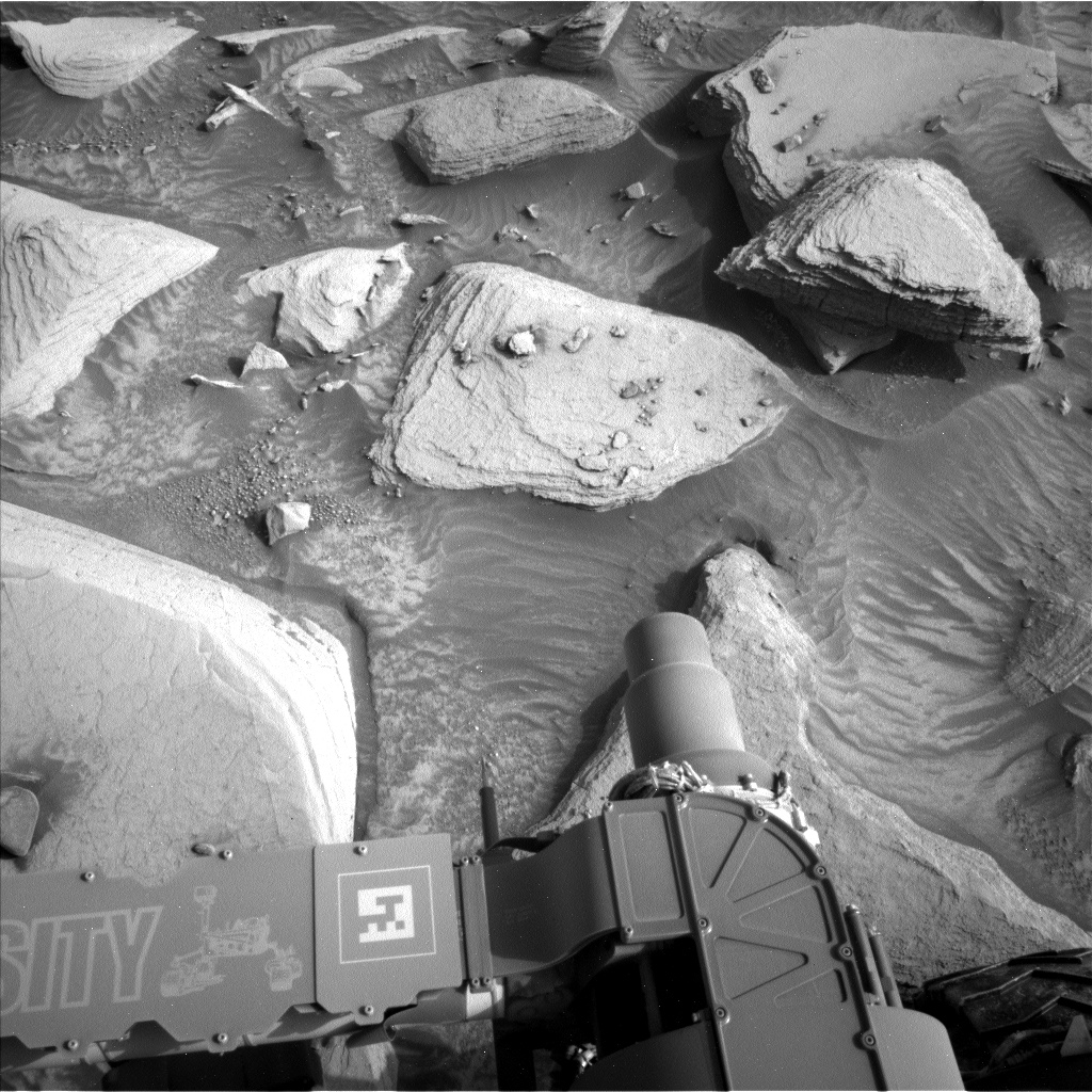
The one image that we all were interested in was the drill hole, and the previous blogger has already captured the resistance that those rocks have put up, including an image with the drill on the ground. I have included above the result of our attempt: an image of what should have been the Dinira drill hole. We drove off that site now and are on our way up Mt Sharp again. Today’s workspace image reminded me of popcorn scattered all over the table – seems appropriate for a Friday night, right?
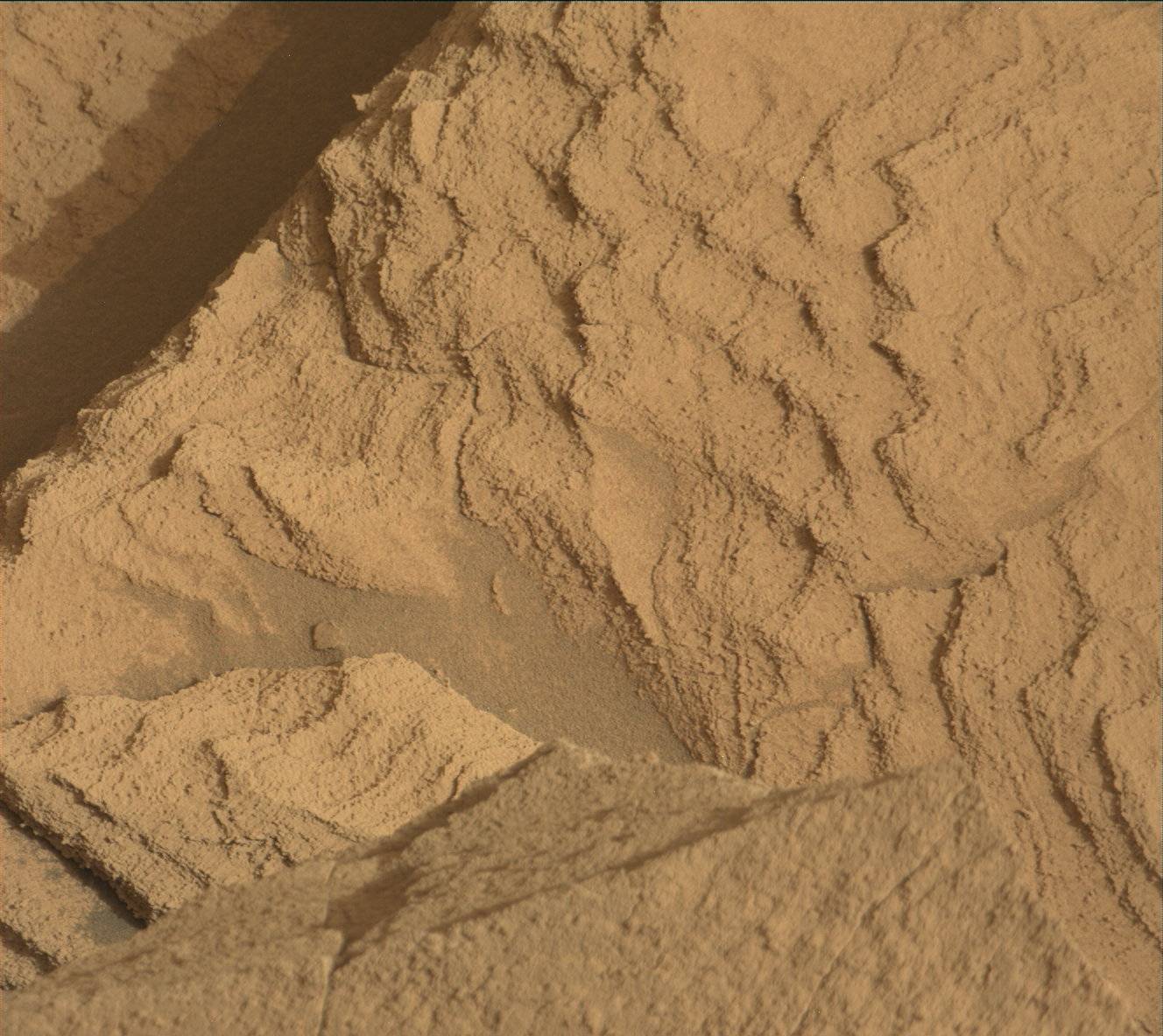
The site offered us an ideal opportunity to do an APXS raster of four measurements in the same area to assess the chemical differences of the small nodules and the underlying bedrock. MAHLI supports this observation with a series of close-up images. MAHLI also looks at target “Cunucunuma,” which is a single rock that sits near the rover and looks very different from the bedrock: it has lots of vesicles, and clearly is a float rock. ChemCam is investigating “Cunucunuma,” too, and also looking at one of the nodules sitting above the bedrock at target “Flores Verdes” and a bigger version of these nodules in target “Curucuquero.”
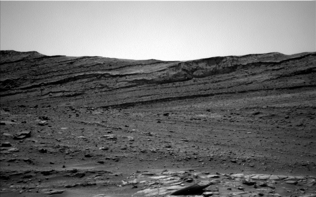
Mastcam is very busy in this plan, starting with a 360° panorama mosaic. It also supports the ChemCam LIBS observations taking documentation images of the targets “Cunucunuma” and “Flores Verdes.” The area has a very particular pattern to it, of which images are taken at targets “Serra do Pacu” and “Serra Imeri.” In the distance, there is a mosaic on the hill site earlier named “Chenapeau” and a large mosaic in the far field of the rover. Finally, there are three multispectral observations on the targets “Tres Bocas,” yes, that’s the APXS target, and targets “Rio Maria” and “Wina.” Not enough images? We thought so, too! There also are two ChemCam RMI observations, one as long distance on “Chenapeau” and a two-image raster on target on “Trairaro,” also a float rock.
Add atmospheric observation and DAN active and passive observations and a MARDI image, as well as a Mastcam Phobos image, and you have a very busy plan! Well, the rover has three sols to do that and drive off to the next stop, which gets us close to one of the aeolian features in the scene. Of course, there also is some imaging after the drive, which will hopefully arrive in good time for the planning on Tuesday, after the US Presidents day.
Written by Susanne Schwenzer, Planetary Geologist at The Open University


