3 min read

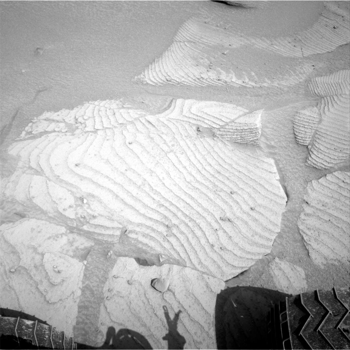
We continue to drive along the Marker Band and found ourselves this morning (as planned) in an area of strongly laminated bedrock. The accompanying image shows the bedrock to the right of our current workspace, with very regular distinctive laminations or layers, about 3 cm or less apart. We are interested generally to see how this compares to the “rippled” Marker Band material that we tried to drill over the past several months, but specifically to determine if this material is a suitable drill target.
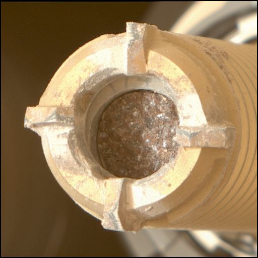
After trying multiple times in the “rippled” Marker Band, the team decided it was time to move on. It was difficult, because getting a drilled sample in this area is considered to be of very high scientific importance. The analysis of drilled samples is one of the strengths of Curiosity – it is the Mars Science Laboratory (MSL) after all! Using our highly specialized analytical instruments (SAM and CheMin), we can add so much information to that which we routinely get using our geochemical instruments (APXS and ChemCam). So – we will try again in a different unit of the Marker Band, this time on “Tapo Caparo.” It’s in an area of bedrock similar to that shown above, but with more subdued (and drill friendly!) laminations.
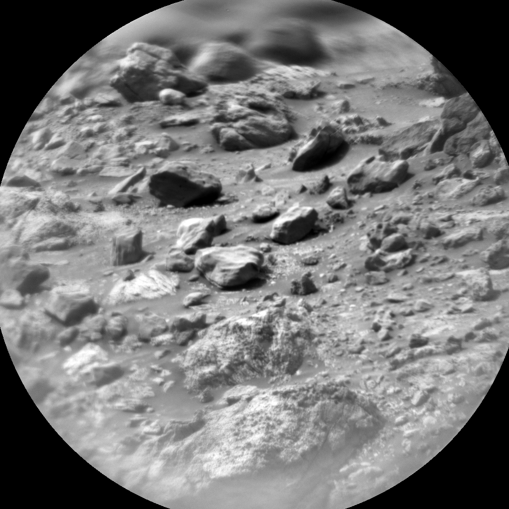
In today’s two sol plan, we are focusing on drill triage on Tapo Caparo. The Rover Planners (RPs) are doing a pre-load test to determine if this block is safe to drill. APXS and ChemCam will investigate the geochemistry and Mastcam will acquire a multispectral image, so that we can fully characterize the geochemistry here and at the same time, see if this target is similar to the surrounding bedrock. MAHLI will also image the target, so that RPs can be sure that there are no obvious features here which would affect the drill, such as a large vein or a fracture. ChemCam will also use LIBS to analyze “Tefe” within a patch of very strongly laminated bedrock, a target that will be documented by Mastcam too. Drilling is a very power intensive activity, so today we are hoarding power, and restricting activities. Mastcam (unusually) has just the one long distance mosaic image, looking up at the “Chenapau” butte.
ENV will continue its routine environmental monitoring, using REMS and DAN, in addition to a Mastcam tau image (measuring dust in the atmosphere). Navcam will also get a pre-dawn cloud survey. We are still in noctilucent cloud season, so consistent periodic imaging is a high priority task for the foreseeable future.
Written by Catherine O'Connell-Cooper, Planetary Geologist at University of New Brunswick


