3 min read

Earth planning date: Tuesday, May 30, 2023
What do you do when you are driving through challenging terrain? Well, hit a new record! Tosol we have passed the 30 kilometer mark! That’s a Mars rover milestone only the NASA Opportunity rover has reached so far. That was around June 2011 and just over 2610 sols into the mission with Opportunity on its way between Victoria and Endeavour Crater. At Endeavour crater Opportunity had driven a marathon on Mars – remember Marathon Valley? You can see the stunning panorama here. Way to go Curiosity!
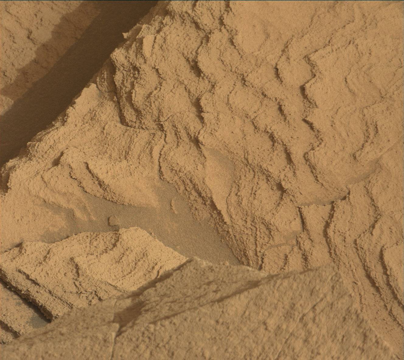
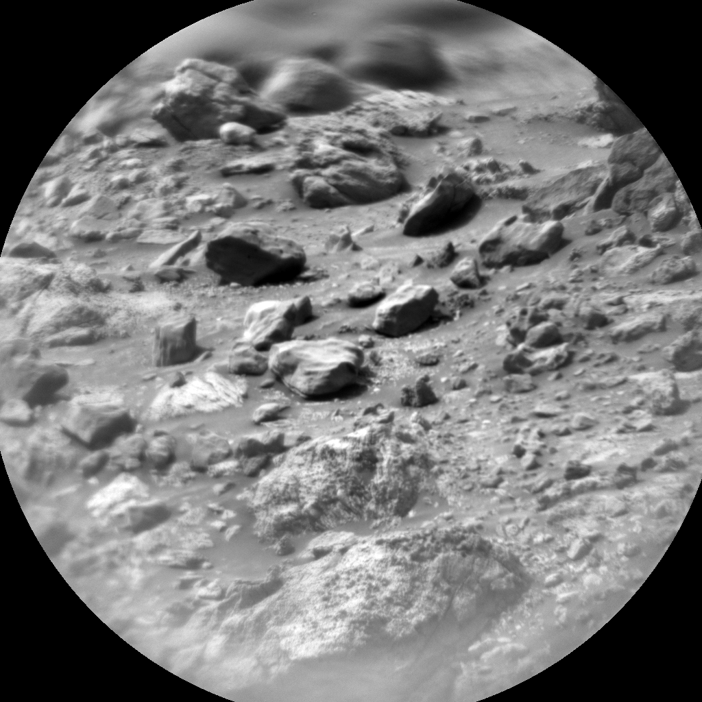
Driving is especially difficult for Curiosity and the rover drivers right now. One of us remarked they wouldn’t want to walk through there, let alone drive, but our rover drivers did an excellent job not only getting us to the next stop, but also parking the rover with all wheels safely on the ground so that we could use the arm. If you want to get an impression on how big of a challenge that was, here is an image from the navigation cameras to illustrate it. And we are making best use of the opportunity investigating target “Cujubim” after using the DRT. There is a three spot APXS raster on the target and of course MAHLI documentation. In addition, MAHLI looks at the target “Cumbal” to further document the interesting sedimentary structures all around us.
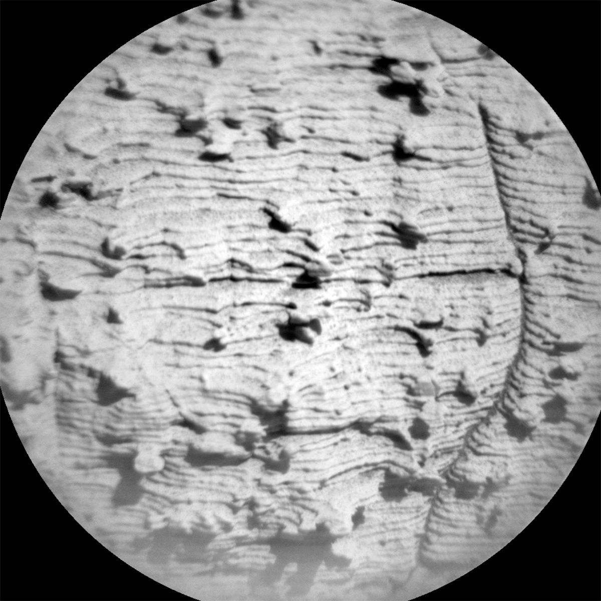
For the image above, though, I picked a Remote Micro-Imager (RMI) image to illustrate some of those interesting things: it shows the sedimentary structures, all the laminae, but also the nodules within, which will tell us a full story of how those rocks formed, one lamina at a time, and then there must have been another watery event forming the nodules.
In today’s plan we have two more RMIs looking into the distance to discern more of those sedimentary structures. ChemCam also keeps its laser busy on two bedrock targets, both also with nodules, which have the target names “Cariacau” and “Crique Yolande,” and there will be an AEGIS after the drive. Mastcam has two multispectral observations, one on the DRT spot, and one on target “Crique Rubin.” Mastcam further images targets “Cariacau” and “Paleomeu River,” and another target in front of the rover both to further document all the interesting features around us. In addition, the environmental theme group conducts the regular atmospheric monitoring, and of course, DAN looks for water in the underground and MARDI takes an image after the drive. And now, raise a glass (or cup) with your favourite beverage to wish the rover well navigating all the boulders ahead!
Written by Susanne Schwenzer, Planetary Geologist at The Open University


