3 min read

Earth planning date: Monday, June 5, 2023
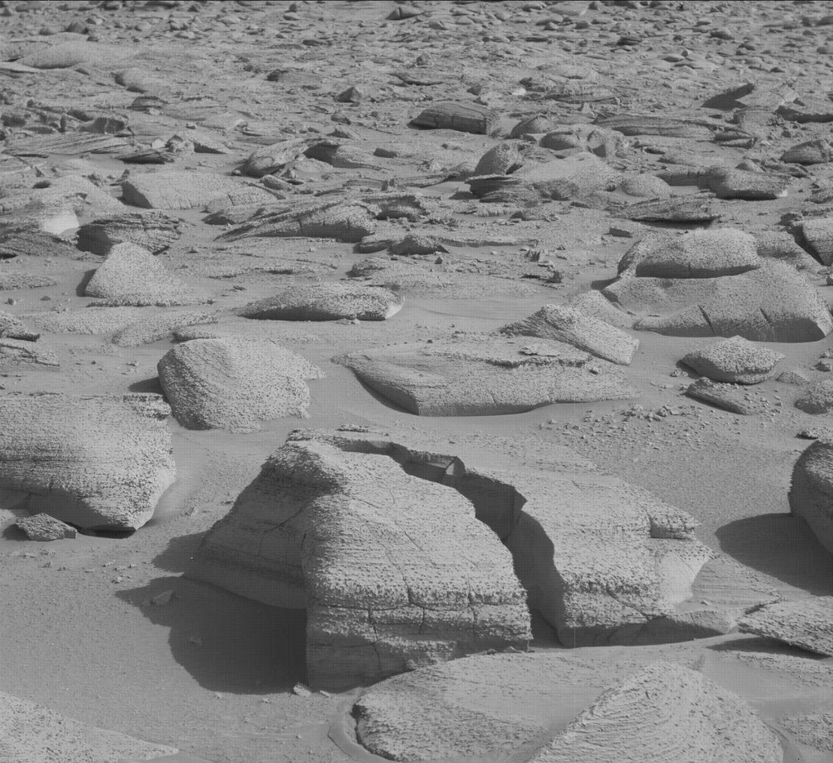
There’s a special sort of hopeful-nervousness I feel on a weekend with a challenging drive. It's how I felt this last weekend, waiting for our rover to try and execute the 11 meter drive that was supposed to get us off a large rock precluding any arm activities over the weekend. Well, we did get off the rock (yay!) but our wheels still slipped in the surrounding sand and ended the drive early in approximately the same place as Friday (see our new orientation to the large rock). A dissatisfying outcome, but still progress as we continue to chug uphill through the slippery sand and boulders.
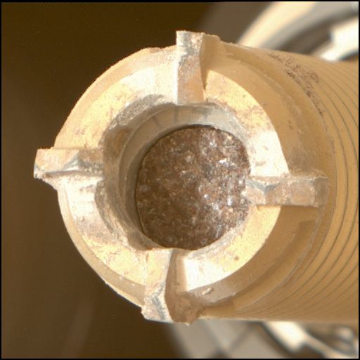
One happy surprise after such an outcome was the ability to use our arm, unlike last Friday. The APXS and MAHLI teams quickly decided to target a spot on the laminated bedrock in front of us for DRT and named it “Aporema.” The RPs were able to approve Aporema for DRT, APXS, and MAHLI activities rather quickly and the GEO team was just as efficient, delivering our plan 30 min early!
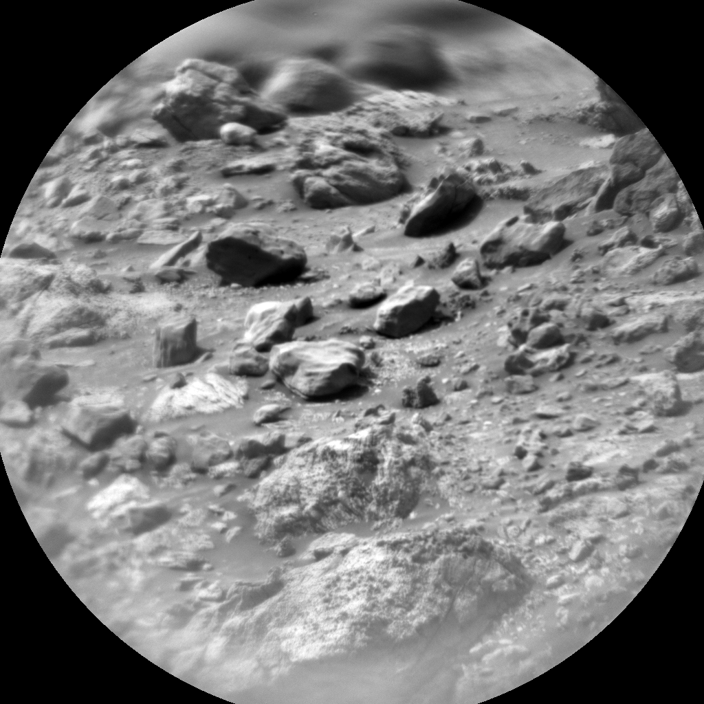
For these plans where we drive on the first sol and have early enough handover times (when the plan starts executing), we’re usually able to have two arm backbones “split” around one, midday remote science backbone before driving in the afternoon and taking our post-drive imagery before sunset - which right now is about 17:19 in Gale. So this plan starts ~10:00 with the DRT and following APXS integrations on Aporema, after which the remote science block starts ~11:40 and begins with two Mastcam multispectral stereo frames of the DRT spot and a wheel scuff we made during the weekend drive. ChemCam will then target another laminated bedrock target named “Calafate” for LIBS and Mastcam will document the attempt afterwards. Around ~13:10 in the afternoon the second arm backbone starts with MAHLI images of the DRT/APXS spot from 20cm, 5cm, and 1cm away from the target. That means we should get a highest resolution of ~17 µm/pixel (the width of fine/medium silt grains!) for Aporema.
After our targeted science is complete, the rover will attempt again to drive ~11 meters from this spot and get us in front of a new piece of bedrock for DRT on Wednesday. The post-drive imagery will happen ~15:30 and includes the Navcam full panorama, Hazcam images of the wheels, and a Mastcam medium-resolution mosaic of the workspace in front of the arm. And we could never forget to plan our MARDI image that happens post-sunset to document the terrain under our left-front wheel.
The second sol is much quieter and assumes we’re in a new location. In the blind, Mastcam will target the sun to measure atmospheric opacity and Navcam will target the horizon to capture any changes from dust movement. ChemCam will autonomously target a LIBS spot by finding a bedrock spot that’s far from any rover parts so there’s no collision risk. DAN, RAD, and REMS are taking atmospheric measurements all the while, continuing to characterize the current climate in Gale.
Written by Natalie Moore, Mission Operations Specialist at Malin Space Science Systems


