4 min read

Earth planning date: Wednesday, October 4, 2023
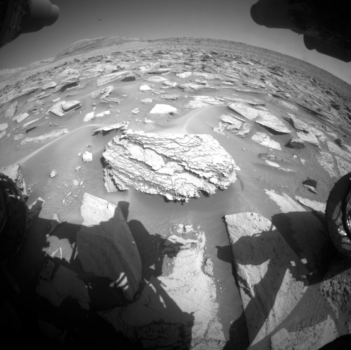
Winter is almost half over in Gale, but this rover doesn’t hibernate! The last time we stopped for more than a few sols was at the Ubajara drill site back in early May, almost 1 kilometer and 150 sols ago. Now, five months later, we’re approaching our next drill site in this area of alternating banded layers dispersed across lithified sand. The scientist jury is still out on which block is their favorite, but the operations team is already preparing to begin a two-to-three week drill campaign in the near future. With solar conjunction fast approaching, it’ll be interesting to see how much of a drill campaign we can fit between now and November 11th.
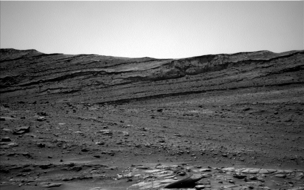
For this two-sol, unrestricted plan, we’re waking up with a remote science block containing two Navcam activities to measure the atmospheric opacity and search for dust devils (we’ve seen some large ones recently!). Mastcam will follow up with a mono, Mastcam Right-only mosaic of the upper Gediz Vallis ridge we’ve been driving parallel to since our crater cluster campaign. ChemCam will finish off the block with a 5x1 LIBS raster on a nodular bedrock target named “Black Giant," with Mastcam Right documenting the effort afterwards.
On sol 3953 (September 20th, 2023) the Mastcam-34mm (Mastcam Left) filter wheel stalled between filters L0 (clear) and L1 (green) while running a multispectral atmospheric opacity (tau) imaging sequence. Since then, the Mastcam team has been sending a series of diagnostic commands with varying motor drive parameters, in an effort to characterize the problem and get the filter wheel back to the L0 position where it is most often used. To date, some progress has been made, and the team is hopeful that the L0 position will be reached soon. Analysis will then continue to determine if the filter wheel can be safely returned to normal service. Remember, this rover has been outside Earth’s protection since late 2011! This isn’t the first time our engineering team fixed something remotely and it won’t be the last.
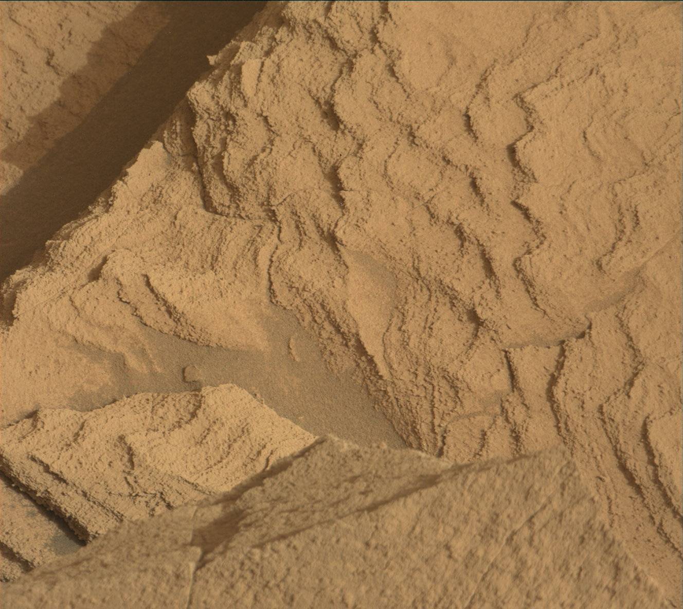
After another Mastcam Left diagnostic activity completes, our first arm backbone will kick off and includes two contact science targets: “Helen Lake” (a less dusty dark-toned layer) and “Marion Peak” (a slightly dustier dark-toned layer). Here’s an example of a dark-toned layer fragment (where Blackcap Mountain was!) sitting atop the light-toned layer from sol 3962. MAHLI will take a full-suite of images on Helen Lake from 25cm, 5cm, and 2cm away and another mini-suite of images on Marion Peak from 25cm and 5cm away. After the imaging, our arm turret will spin to the APXS frame for their evening integrations on the two targets. The first orbiter to pass over our rover will be the Trace Gas Orbiter, which should send our remote and arm data back to Earth by ~3:30am Pacific tomorrow (Thursday) morning.
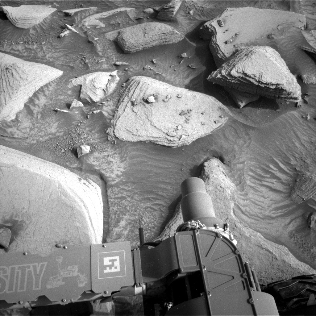
We mostly nap the night away, and on the second sol we'll wake up with another remote sensing block starting again with a Navcam dust devil movie. Mastcam will follow up this time with some near-field mosaics of sand troughs between blocks (I like this example from sol 3966), and ChemCam will shoot their second LIBS target named “Bridgeport” on a smoother piece of bedrock. With all our arm activities done, we’ll be ready to drive and potentially end up near our next drill site. Our post-drive data will start coming down to Earth at ~5am Pacific on Friday, and from that we’ll begin our weekend planning while our rover rests her wheels for the night.
Written by Natalie Moore, Mission Operations Specialist at Malin Space Science Systems


