3 min read

Earth planning date: Friday, October 20, 2023
The highest priority in this weekend’s 3-sol plan is the SAM preconditioning activity. This is in anticipation of a SAM evolved gas analysis (EGA) of the Sequoia drill sample next week. We will review the downlink from our first night of CheMin analysis over the weekend to make a final decision of whether we want to proceed with the EGA on Monday. We are all excited to see what the mineralogy of our 39th drill hole on Mars will be. We are ~60 m higher in elevation than our previous Ubajara drill location. Will the mineralogy of our newest drill sample be the same, or might there be changes as we climb up through the layers of sulfate-bearing rocks exposed on Mount Sharp? Changes in mineralogy could indicate changing conditions during the initial deposition of the sediment that comprises the rock, or perhaps later alteration processes. To support the upcoming, power-hungry, SAM EGA we had to be careful to preserve power in this weekend plan. However, this still permitted us to pack in lots of science observations of both the rocks and terrain around us, as well as atmospheric investigations.
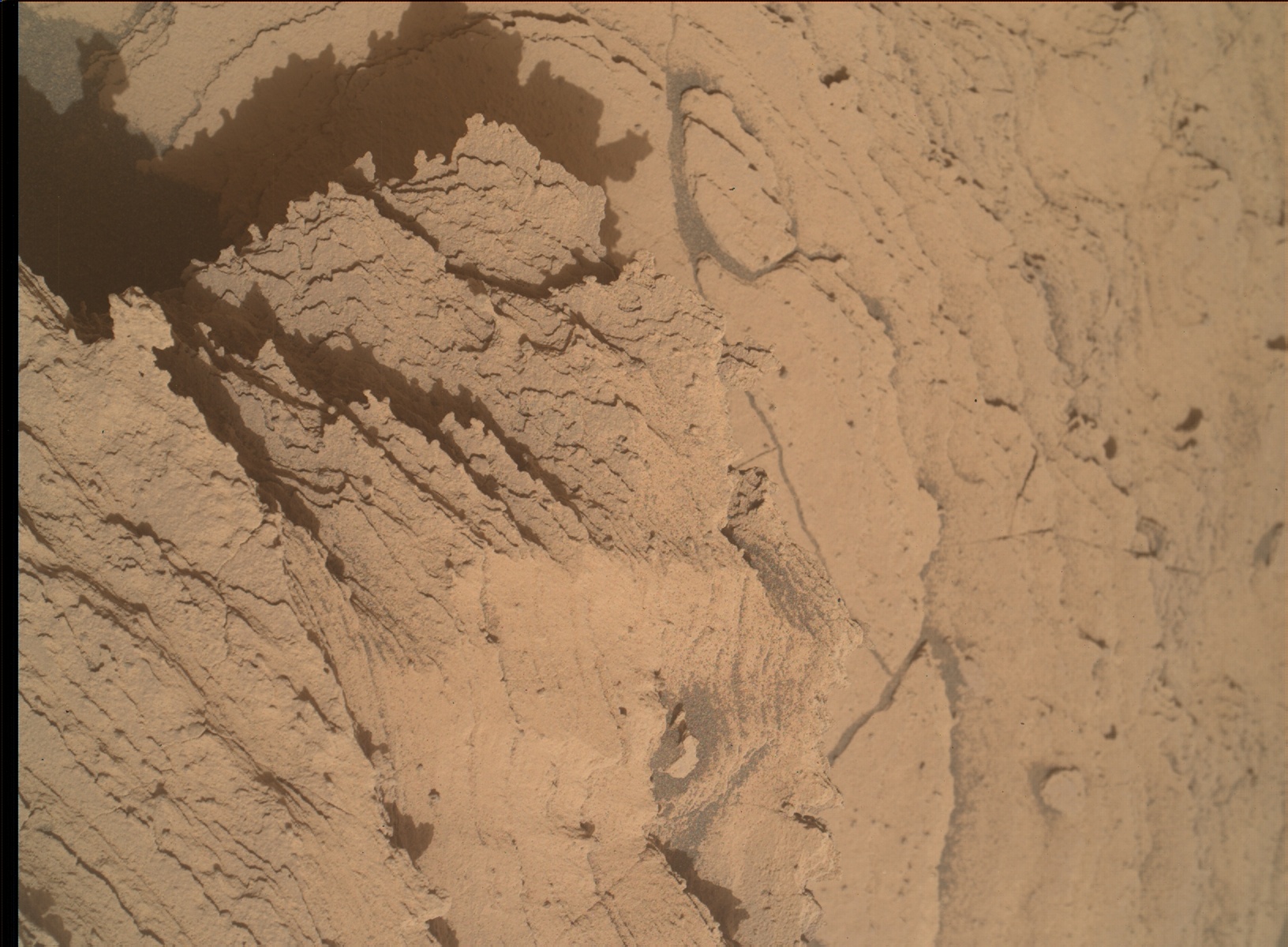
ChemCam will analyze the “Fridays Folly,” “Guitar Lake” and “Wolverton” bedrock targets to investigate compositional variation across the layering present in the same block as the Sequoia drill hole. The layers could represent some of the material sampled during drilling, thus the chemistry of the different layers can aid in the interpretation of the CheMin and SAM results. We will also image these targets with Mastcam for colour documentation. As well as firing its laser, ChemCam will also utilize its remote imaging capabilities to acquire RMI mosaics of the base of the nearby Kukenan butte, and the crater rim. To complement the RMI of the crater rim, a Mastcam mosaic will be pointed in the same direction. We are also imaging some nearby rocks with interesting curvilinear features (“Brainard Lake”) as well as the drill hole and drill fines with Mastcam. The drill hole observation can help to determine whether wind is moving the fines around, and with targeting of the fines for contact science, once we have finished supplying sample to our internal CheMin and SAM instruments. As an APXS team member, I am particularly eager to use the robotic arm to place APXS on the drill fines and compare their chemistry with what we measured at the surface. To capture the full context of our 39th drill hole on Mars, a Navcam 360 mosaic of Sequoia and the surrounding terrain will also be acquired. The terrain beneath the rover will be imaged with MARDI to look for changes as Curiosity is parked in this location during the drill campaign (e.g., movement of windblown sand).
A plethora of environmental observations are also scattered throughout the plan on different sols and at different times to monitor changes in atmospheric conditions. These include a Navcam cloud altitude observation, a zenith movie, two suprahorizon movies, a line of sight scan and single line of sight image. We will also acquire two Mascam tau observations in this plan. Standard REMS, DAN and RAD activities round out this 3-sol, weekend plan.
The MSL science team are all eagerly anticipating our first peek at the mineralogy of Sequoia, which we should receive later today!
Written by Lucy Thompson, Planetary Geologist at University of New Brunswick


