3 min read

Earth planning date: Friday, January 12, 2024
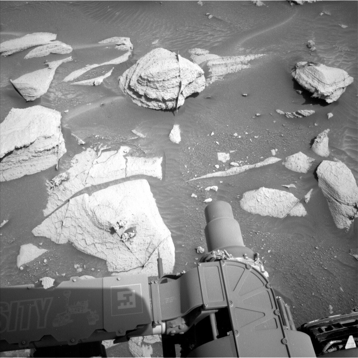
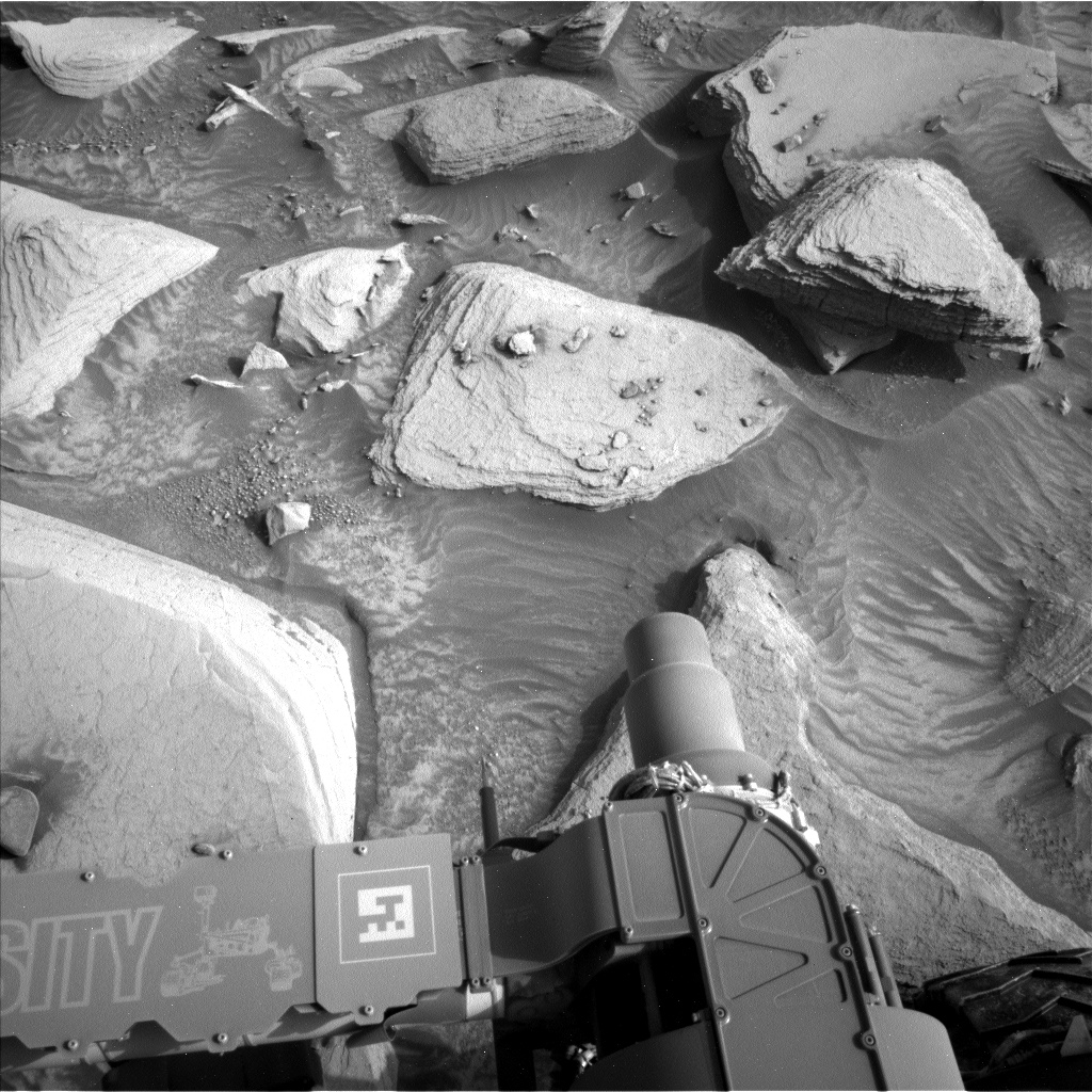
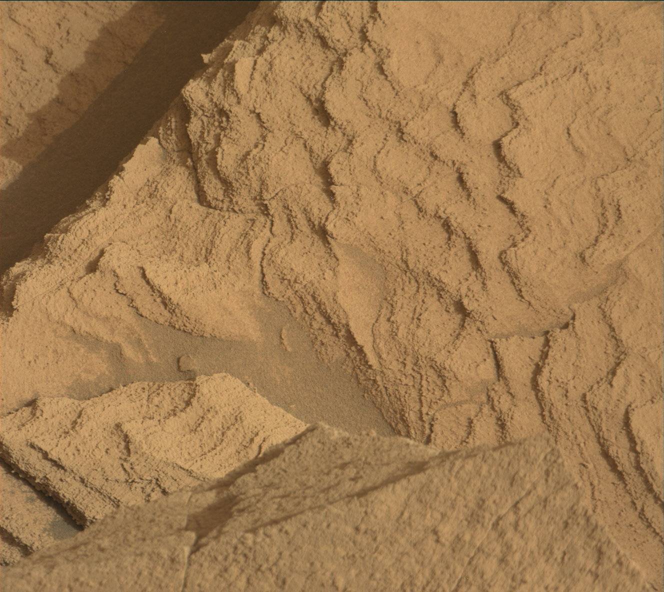
Cracking up — not Curiosity, but the rocks! It is all about the cracks and fractures in the workspace for this 4-sol plan. We have observed resistant, polygonal fractures/ridges in many recent bedrock blocks. There is much speculation among the team as to the origin of these features. Hypotheses have different implications for past environments, and the polygonal fractures are therefore of high interest. As well as the polygonal fractures, there are more continuous linear veins. The relationship between the polygonal and linear fractures can also help to inform our interpretations. In order to investigate both hypotheses, we planned multiple chemical and imaging observations of the polygonal features and linear fractures/veins in this jam-packed 4-sol holiday plan.
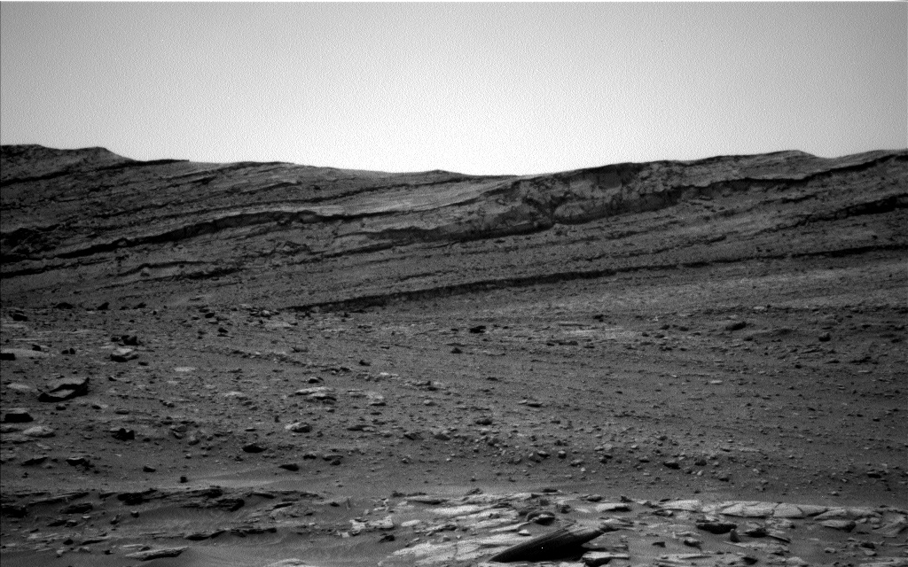
ChemCam will shoot its laser at examples of linear veins ("Soda Creek" and "Windy Ridge") and polygonal fractures ("Monola"), and we will capture these targets within a Mastcam mosaic. The arm instruments will also be in on the action! As the APXS strategic planner today, I proposed a 4-spot APXS/MAHLI raster across an intersection of some of the polygonal ridges/fractures ("Split Mountain") to investigate their composition and texture versus the substrate bedrock. This resulted in the plan being a little more complex than usual, but the rover engineers at JPL rose to the challenge and managed to accommodate our request. MAHLI will also image the "Great Western Divide" linear vein — polygonal fracture/ridge intersection. To document other examples of linear veins and polygonal features a little further afield Mastcam will acquire images of: the previous "George Creek" and "Hogback Creek" targets to enable stereo imaging; an area in the vicinity of the previous "Isosceles Peak" target; and the area around the "Taboose Creek" target. Not everything is “cracking up” though! CCAM will also acquire long distance RMI mosaics of the Kukenan butte, and the "Ragged Spur" dark patch of bedrock. After a planned drive to the east of our current location, we will image the terrain beneath the wheels with MARDI.
Not to be outdone, the environmental scientists also have abundant activities and observations in this bumper holiday plan. The first sol is devoted to coordinated ChemCam passive, SAM, and APXS atmospheric observations as well as a Mastcam tau to measure the amount of dust in the atmosphere. We are also acquiring a Navcam dust devil movie, a zenith movie, and supra horizon and line of sight imaging. Standard REMS, RAD and DAN activities round out the plan.
Written by Lucy Thompson, Planetary Geologist at University of New Brunswick


