3 min read

Earth planning date: Monday, January 22, 2024
Here in Toronto (along with much of Canada and the United States), we've spent the last few weeks bathed in an icy blast of arctic air, which has been quite a dramatic contrast with the very mild winter that we've had up until now. However, it is starting to warm back up, not just here but on Mars as well. We're just past the halfway point of the current Mars Year (numbered 37 in the system created by Todd Clancy in 2000), meaning that springtime has now arrived at Gale. Mars is also rapidly approaching perihelion, or its closest distance from the Sun. At this time of year, daily maximum temperatures typically hover just below freezing, not dissimilar to Toronto today. These higher temperatures can be very helpful for us during planning, as they mean that we have to spend less of our power on heating Curiosity's instruments, leaving more for us to do science with!
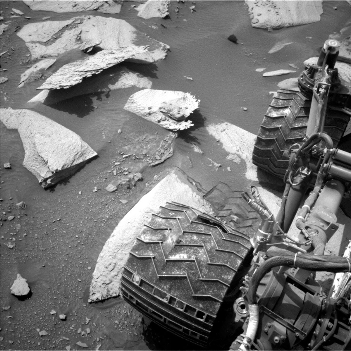
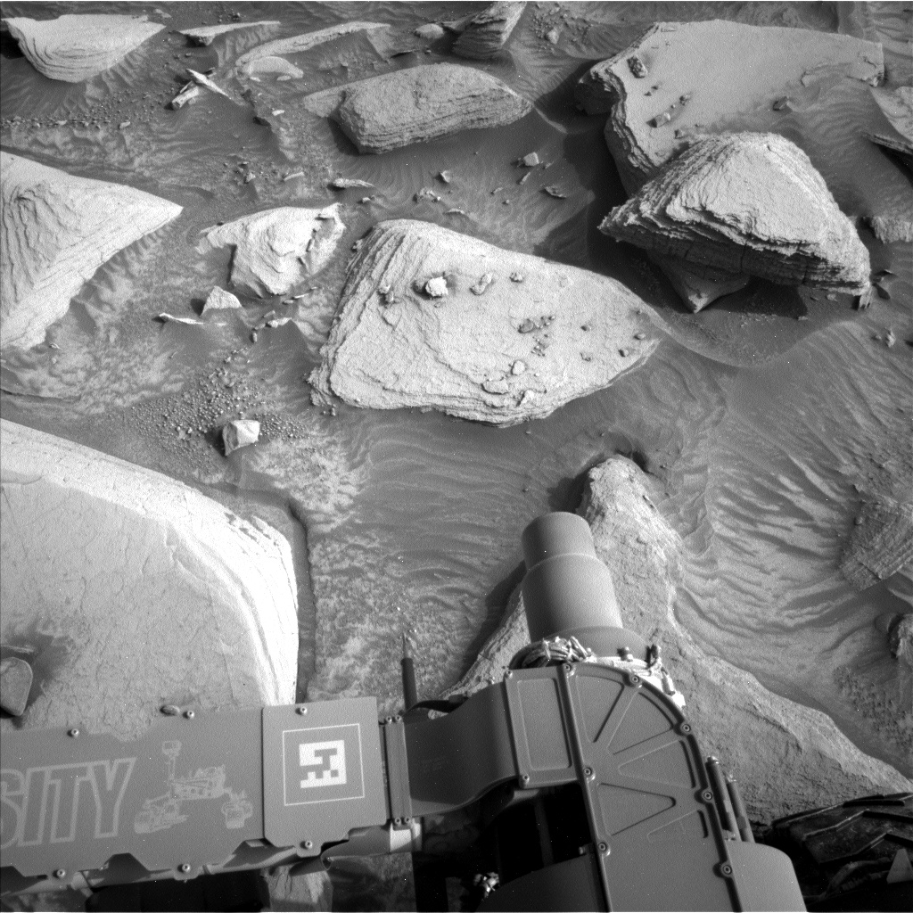
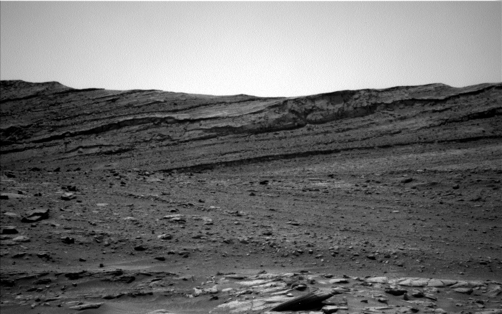
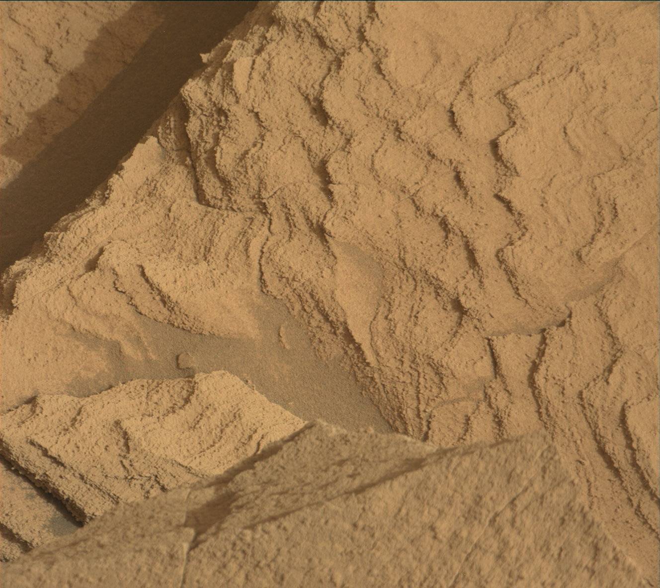
Both science theme groups made good use of the favourable power situation, fitting in just about three hours of activities between the two sols we planned today. We begin with an early-morning investigation of the target "Manzanita," first using DRT to clear away the ubiquitous Martian dust before placing APXS atop it. With the arm pulled away from Manzanita, we move on to ChemCam, beginning with LIBS on "University Peak." ChemCam RMI will then take a mosaic of a region of Kukenán (the large butte that forms the eastern wall of Gediz Vallis) south of where the rover is currently parked. Once ChemCam has finished its work, it's Mastcam's time to shine, starting with a set of images to document the results of the University Peak LIBS activity. Mastcam will then take a look off in the direction that we plan to drive, and finish off by documenting some sedimentary layers at "Trail Crest" and searching for polygonal fracturing at "Atwell Grove." Before driving away from this location, we get up close and personal with Manzanita one more time, brushing it again with DRT and imaging it with MAHLI.
The second sol of this plan begins with ChemCam. Because we don't know exactly where the rover will be parked following the drive on the first sol, we can't select LIBS targets for the second sol in advance. Instead, the rover will do that itself, autonomously choosing targets based on a set of parameters provided to it. The second sol will finish off with some remote sensing of the atmosphere, including a lengthy half-hour Navcam movie to look for dust activity north of our current location and Mastcam imaging of the sky to measure the amount of dust in the atmosphere.
Written by Conor Hayes, Graduate Student at York University


