2 min read

Earth planning date: Wednesday, January 24, 2024
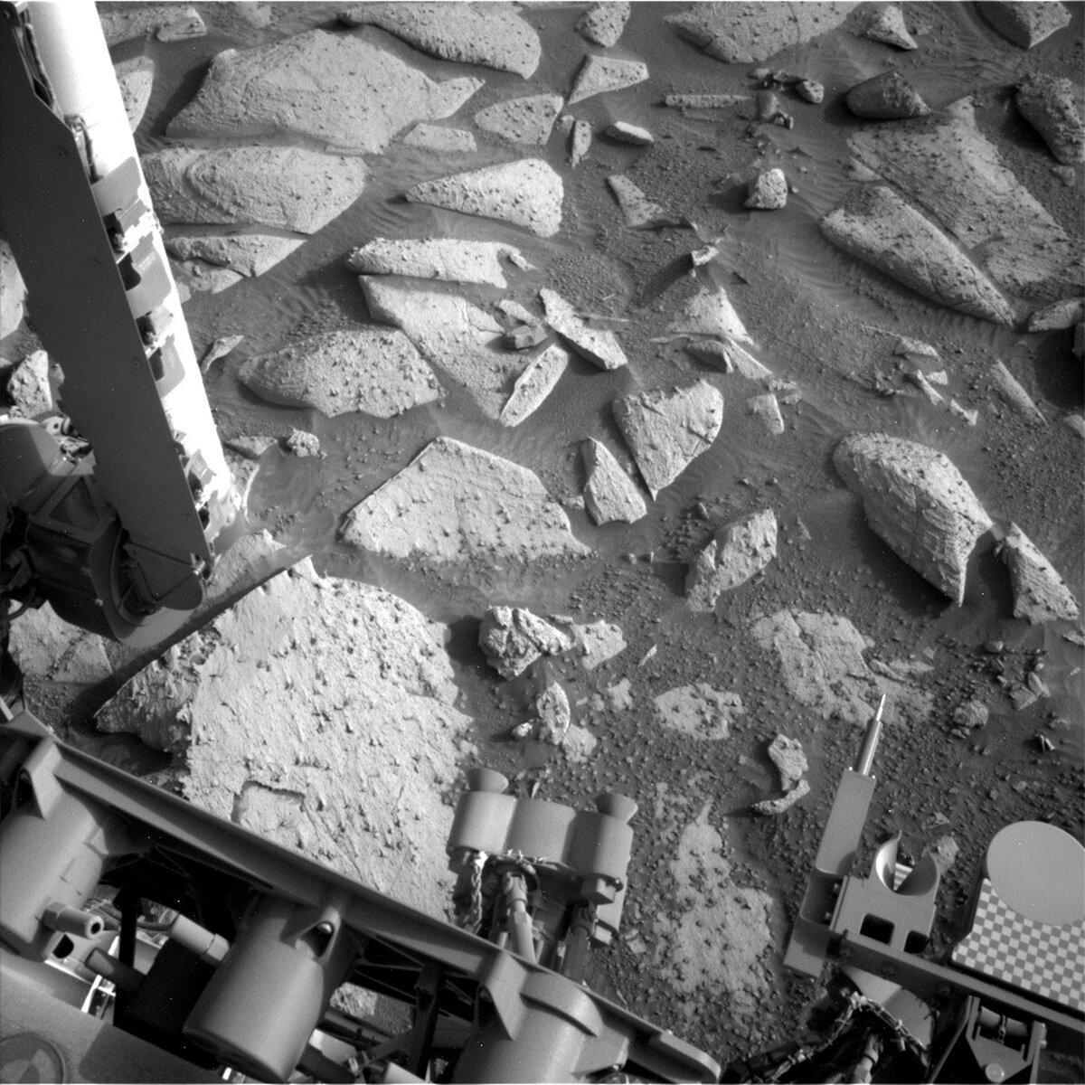
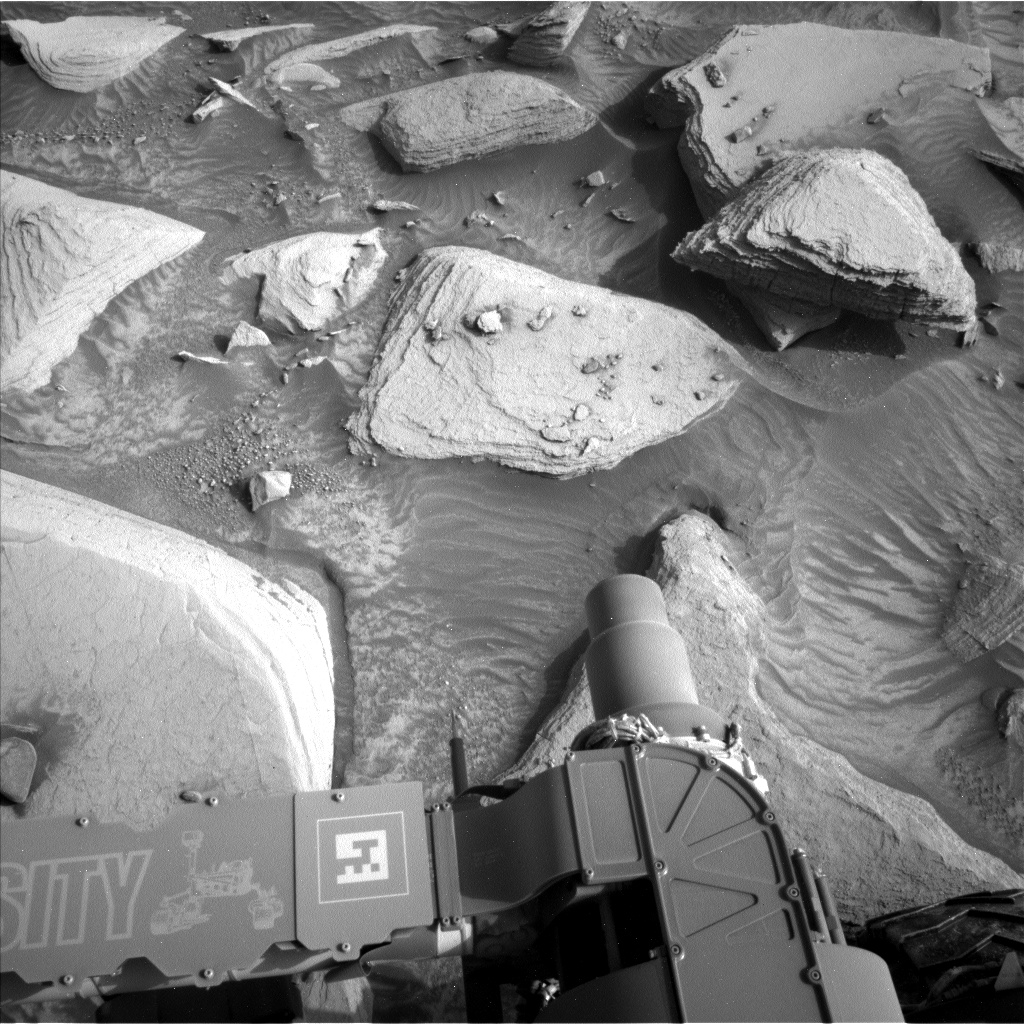
We arrived at a workspace with bedrock delightfully dotted with resistant features whose granular appearance and gray color were intriguing enough to warrant attention from APXS, ChemCam, and MAHLI. ChemCam will target one of these features, "Tehipite Dome," while MAHLI and APXS will target a different feature on the same block, "Sierra Columbine," after DRT brushes it. When we are investigating such features, the more data the better!
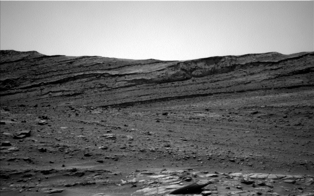
ChemCam also planned long distance imaging of two of the features dominating our skyline — the "Kukenan" butte and the Gediz Vallis Ridge. The mosaics had to be carefully planned to avoid any risk of sun getting into the ChemCam optics — what we colloquially refer to as "sun safety." The mosaics balance sun safety with imaging the exact features of interest on each rise — a delicate dance to achieve great science!
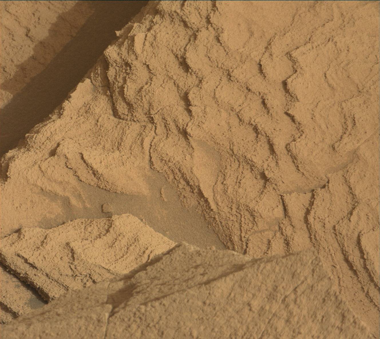
Mastcam joined in imaging of the Gediz Vallis Ridge, overlapping the ChemCam-targeted area to provide context and additional coverage. Mastcam’s other planned mosaics focused closer to the rover, capturing different structures and features of interest. "Frozen Pass Lake" looks at the light and dark banding we have been exploring from our current perspective on it. "Rough Spur" captures a near-vertical vein that sharply divides a bedrock block. On one side of the vein, the bedrock exhibits thin layers, but on the other side of the vein, the bedrock is structureless. The "Mule Ears" bedrock block has multiple subparallel veins that artfully fan out through the block.
Before the rover drives further south and uphill for the weekend, Navcam will look for dust devils and clouds near midday. DAN passive, REMS, and RAD run before, during and after the drive, and REMS and RAD continue long into the wee hours before the next plan begins. Once we are settled in at our next, hopefully equally delightful workspace, Navcam and Mastcam will measure the amount of dust in the atmosphere in the late afternoon and MARDI will image the terrain beneath the rover near twilight. Whatever will we find next?
Written by Michelle Minitti, Planetary Geologist at Framework


