3 min read

Earth planning date: Tuesday, February 20, 2024
No time for Monday brain on a Tuesday! Following a four-day US holiday weekend, our Mars plans take place on Tuesday and Friday this week. Since I am scheduled for Mastcam operations all week, this morning I ran my trusty script telling me how much Mastcam data were downlinked from the weekend. Immediately there was a mystery: Saturday’s data downlinked just fine but Sunday’s data wasn’t showing up. Missing data could have many causes, but the two most likely are: something happened with the rover, or something happened with the data transmission between Mars and Earth. Luckily it was quickly discovered to be the latter; our Payload Downlink Coordinator for today let us know that our morning downlink was halted because of Earth-weather conditions at the Deep Space Network station we tried to use. Despite not having the data right away, this is always good news because it means our commands all worked and the data is on its way to Earth. We were told the missing data would be available this afternoon at the earliest, so for planning we made do with the data we had.
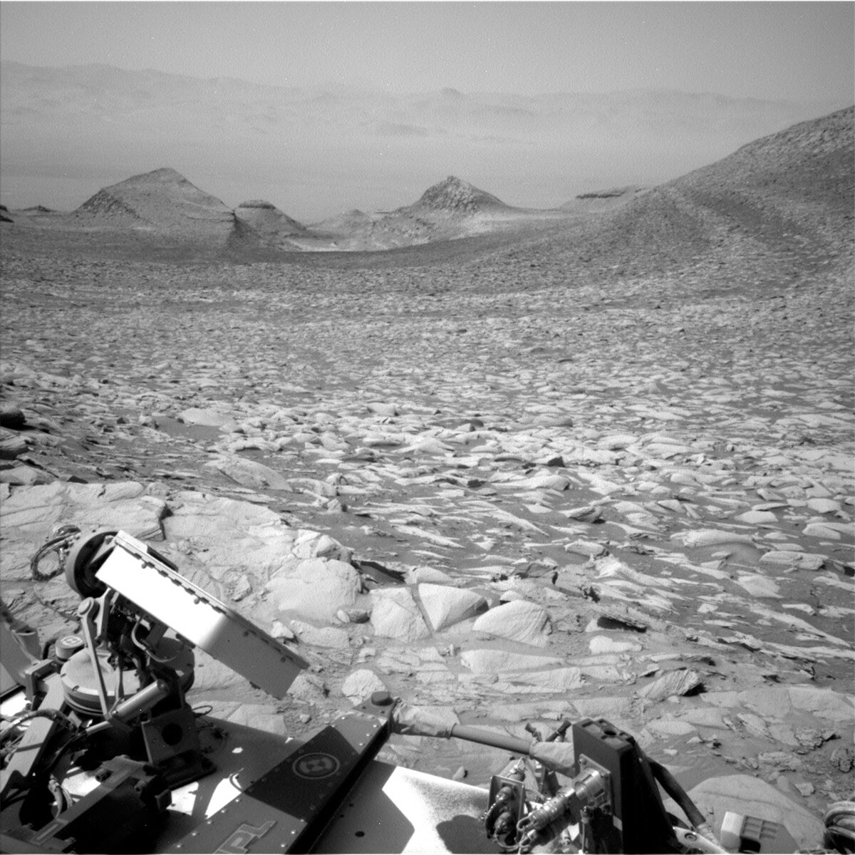
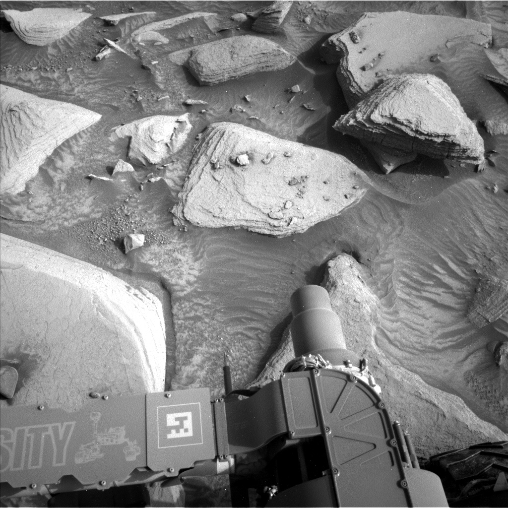
We did get our Mastcam arm workspace images down from Sunday, though, and it showed a new location at a highly desired dark-toned rock layer. The weekend drive was successful! It was quickly determined our wheels were stable enough to unstow the arm and put weight on it (like for drilling), and since this is the nicest Gale crater terrain has been in a while the team quickly pivoted from driving away to staying here and trying to drill. This plan became our first of the “Mineral King” drill campaign.
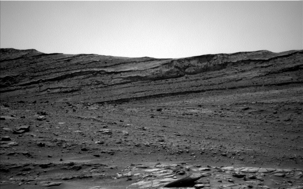
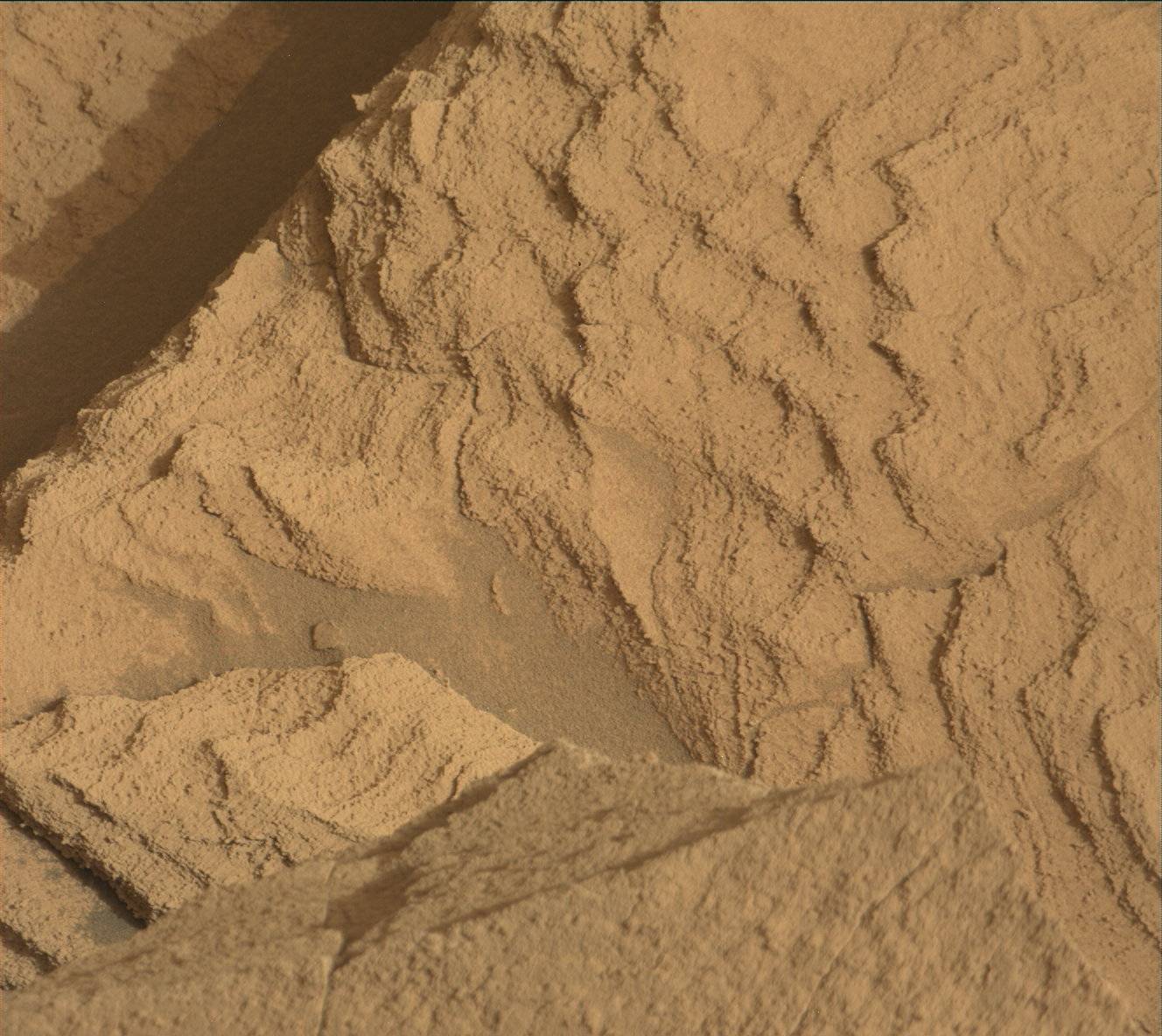
We saved all the arm activities for the second sol, so we start sol 4104 with a remote science block including: ChemCam LIBS on “Mount Mallory,” Mastcam image of the LIBS attempt, and 20 Mastcam stereo frames of the terrain surrounding us. Navcam finishes off the block with some long dust devil and cloud movies, not only for science but also to make use of the battery charge while we can. The second sol is run by the arm activities: a 7-image MAHLI mosaic of the Mineral King block from an angle to show the thickness of the dark layers, DRT on Mineral King with a full-MAHLI-suite of images on the dust-free area, a pre-load test of the drill bit on Mineral King to test the strength of the rock (the stronger the rock, the less likely it’ll fracture or shift), and finally APXS integrations in the evening over the dust-free Mineral King to gather mineral composition pre-drilling. The third sol is mainly a battery recharge sol, but we’re still planning a ChemCam LIBS on “Mount Carillon,” a Mastcam mono mosaic of the LIBS attempt and surrounding context, and many Navcam dust devil movies. If the pre-load test on Mineral King goes well, we might be drilling this weekend!
Written by Natalie Moore, Mission Operations Specialist at Malin Space Science Systems


