April 12, 2024
Sols 4154-4156: Bumpy Driving up the Mountain
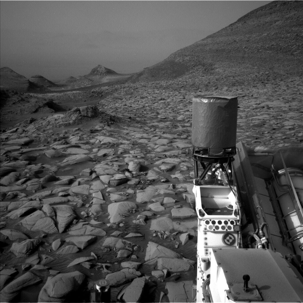
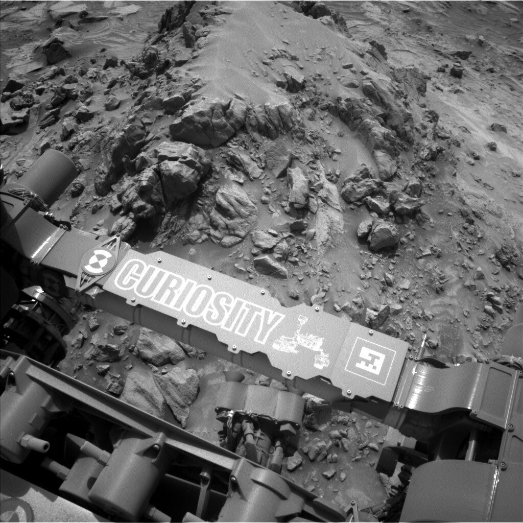
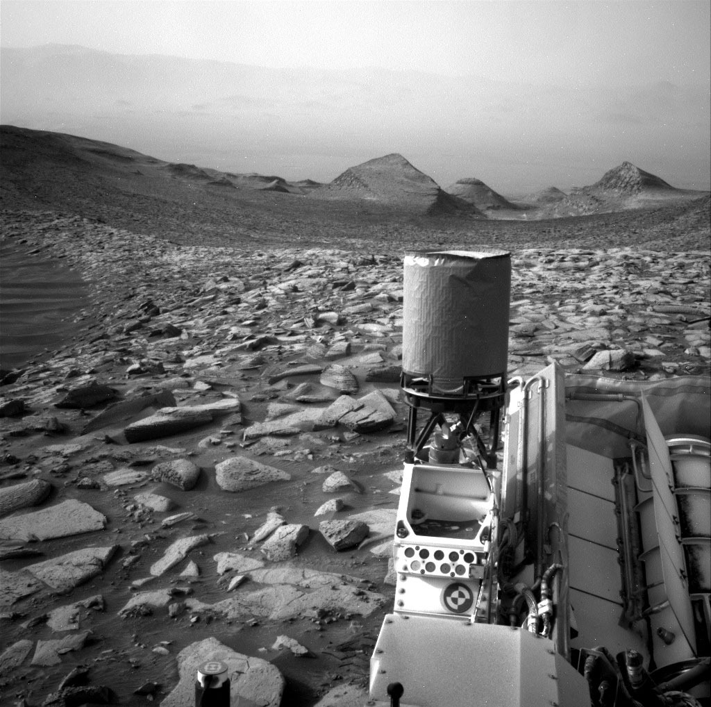
A Navcam image of the rover deck, showcasing the amount of dust that has gathered since Curiosity landed on Mars in 2012. Credits: NASA/JPL-Caltech. Download image ›
Earth planning date: Friday, April 12, 2024
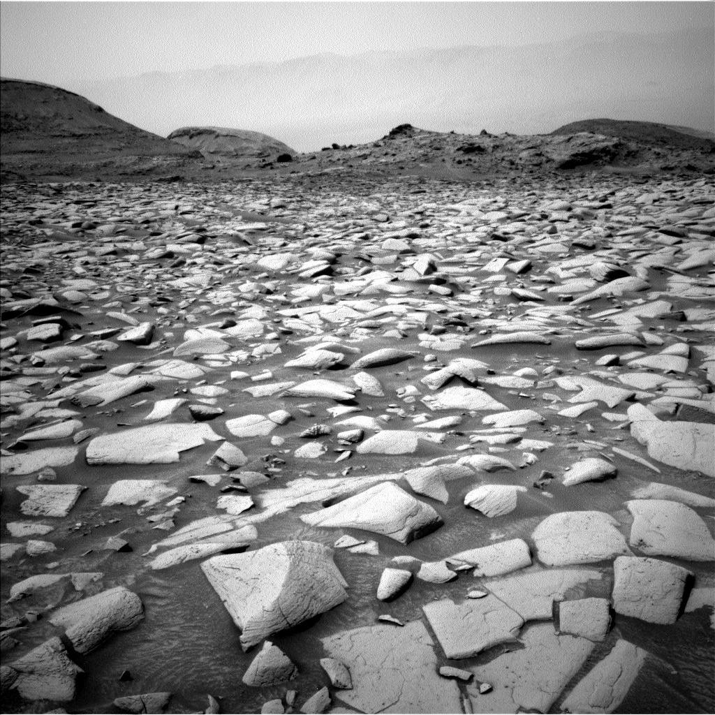
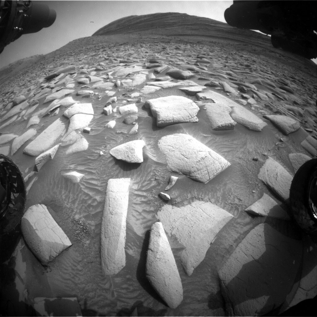
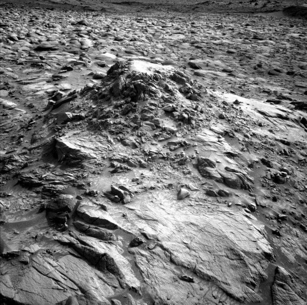
As we've continued to drive up into Gediz Vallis, the ground in front of us has become increasingly littered with large rocks sticking up out of the sand. While certainly good for geology, these rocks frequently slow down our forward progress, as even our team of skilled rover planners can't anticipate every challenge that Mars loves to throw at us. On Wednesday, we planned a drive of just over 20 metres to bring us closer to the edge of the Gediz Vallis channel. When we arrived this morning, we learned that the drive had ended early after about nine metres. A quick analysis of the post-drive Front Hazcam images revealed that Curiosity's front right wheel was perched atop one of the many rocks along the planned route. Although there were initially concerns that this would prevent us from safely unstowing the arm to do contact science at this location, it was eventually determined that there was no risk of the rover moving from atop its perch if we did so.
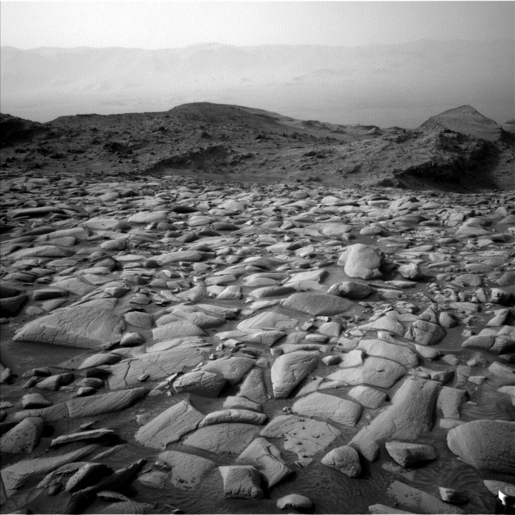
Although we didn't make it to our intended location at the edge of the channel, this weekend's plan is still packed full of science. We start off with a hefty two hours of activities, starting off with a ChemCam LIBS of the bedrock target "Kaweah River." ChemCam RMI will then take a 10x1 mosaic of Fascination Turret, which has featured in many mission update posts over the last few weeks. After ChemCam finishes its work for this first sol, we have a full hour of Mastcam imaging. This hour begins with documentation images of the LIBS target, then continues with a 6x4 mosaic of the area we will be driving towards. We'll then take some pictures of "Goodale Mountain," a vertically-oriented fractured bedrock block about 6.5 metres from our current location. Our big Mastcam activity for this plan is a 22x3 mosaic of a bedrock trough that can be seen in orbital imagery. Mastcam finishes off its first sol with a mosaic of some rocks off to the right side of the rover. These two hours wrap up with a Navcam suprahorizon movie to observe dust and cloud activity over Gale, as well as a Navcam line-of-sight to measure the amount of dust in the crater.
Not content with the geology team getting nearly two hours of activities in, the environmental science team will get their own two hours thanks to a Navcam "shunt prevention" activity. You may have heard that it's not a good idea to leave your phone or computer plugged in and fully charged for an extended period of time because it will hurt their batteries' maximum capacity. The same thing is true for our rover. Because this plan is not particularly power-hungry, the rover would be at a high state-of-charge for longer than we would prefer. So, this observation was developed several years ago to eat up some of that extra power while getting some extra bonus science. The version used in this plan consists of eight dust devil movies and four suprahorizon movies.
Following an afternoon nap, Curiosity will wake up about an hour before sunset for some arm activities. First, APXS will be touched to the target "Hetch Hetchy." We will then perform a DRT "brush height test." DRT will be lowered to three different heights above Hetch Hetchy and spun to brush the target. In addition to the usual Navcam and Hazcam images that typically accompany DRT activities, MAHLI will image Hetch Hetchy before and after each height to determine how well DRT is removing the dust at each distance from the target. Overnight, APXS will take two lengthy integrations, first of its calibration target and then of Hetch Hetchy before the arm is retracted.
The second sol contains more science time as well as this plan's drive. Once again, we begin with a LIBS observation, this time of "Twin Lakes," which is located about halfway between Kaweah River and Hetch Hetchy. We'll then take yet another RMI mosaic of Fascination Turret, then image this plan's second LIBS target with Mastcam. As usual, environmental science observations round out the second sol, with a series of short movies looking for dust devils around the rover and a Navcam mosaic of the rover deck to monitor how the accumulated dust shifts with the wind and as we drive.
Having driven away from our current location, the third sol of this plan will be focused on untargeted remote science. This includes a ChemCam AEGIS activity as well as another suprahorizon movie, dust devil movie, and a post-drive rover deck mosaic. In the mid-afternoon, Curiosity will briefly wake up to take a Mastcam tau observation to measure the amount of dust in the atmosphere.
After sleeping overnight, we will wake up one last time before handing the rover over to Monday's planning team to take some early-morning environmental science observations: another Mastcam tau and suprahorizon movie, a zenith movie, and another Navcam line-of-sight. As always, REMS, RAD, and DAN will be diligently doing their duties throughout this plan.