Curiosity Rover Updates 

These updates are provided by self-selected Mars Science Laboratory mission team members who love to share what Curiosity is doing with the public. Dates of planned rover activities described in these reports are subject to change due to a variety of factors related to the Martian environment, communication relays and rover status.

A color photograph from the Martian surface shows an overhead view of a small area of pale orange terrain, with an apparent slab of rock in the center of the image surrounded by fine, sandy soil and smaller rocks. At the center of the image is a long, wide crack in the slab, running from almost the top center of the frame toward the lower-left corner. Also, a small corner of the slab appears broken off, from an “L” shaped crack near the upper-right corner of the image.

Sols 4402-4415: Rover Decks and Sequence Calls for the Holidays

2 min read

Earth planning date: Friday, Dec. 20, 2024 Welcome to the 2024 holiday plan for Curiosity! This year we’re spanning 14 sols to last us through the Earth new year. And this is my fourth year operating Mastcam during the holidays…

Article5 days ago
A grayscale photograph of the Martian surface shows very uneven rocky terrain, with bright-toned, flat, lined and multi-angled rocks covering the surface, with darker soil in between, looking like the entire foreground stretching off into the distance had shattered. The horizon is tilted slightly down toward the left. On the horizon, a rocky outcropping rises at center, looking like it was formed by layers of rock stacked upon each other, shifted slightly toward the left, making a wedge-shaped butte.

Sols 4398-4401: Holidays Ahead, Rocks Under the Wheels

4 min read

Earth planning date: Wednesday, Dec. 18, 2024 It’s almost holiday time, and preparations are going ahead on Earth and Mars! For myself that means having a packed suitcase sitting behind me to go on my holiday travels tomorrow morning. For…

Article2 weeks ago
A grayscale photograph of the Martian surface shows very uneven rocky terrain, with bright-toned, flat, lined and multi-angled rocks covering the surface, with darker soil in between, looking like the entire foreground stretching off into the distance had shattered. The horizon is tilted down toward the left. Along that line, gently sleeping hills rise toward the upper left corner and upper right corners of the frame, forming a curved gap, with the bottom of this “V” shape resting on the horizon. In the background beyond that, a lighter, distant band of peaks resembles a ghostly pale fog bank.

Sols 4396-4397: Roving in a Martian Wonderland

3 min read

Earth planning date: Monday, Dec. 16, 2024 Over the weekend Curiosity continued her trek around the northern end of Texoli butte, taking in the beautiful views in all directions. Steep buttes reveal cross-sections through ancient sedimentary strata, while the blocks…

Article3 weeks ago
A brightly lit, grayscale landscape image from the Martian surface shows three rocky elevations. At the center of the image is a hill in the foreground, with extremely uneven and rocky terrain, rising in the foreground from the left and right sides of the image and peaking at image center. Behind it to the left is another gentle slope, appearing lighter-toned and smoother than the foreground hill, almost like a sand dune, rising from the center of the image toward the left side of the frame about 60% of the way up. On the right, beyond the foreground hill, is a much darker gray butte, appearing as stacked layers of rock, rising from the image center to the rights side of the frame, about two-thirds of the way up.

Sols 4393-4395: Weekend Work at the Base of Texoli Butte

2 min read

Earth planning date: Friday, Dec. 13, 2024 Curiosity continues to make great progress over the Mount Sharp bedrock and will spend the weekend investigating the northern base of the “Texoli” butte. The science team back on Earth enjoyed taking in…

Article3 weeks ago
A grayscale photo from the Martian surface shows very rocky and hilly terrain. A gentle slope from lower right to the upper left corner of the image fills more than three-quarters of the frame, with dark gray soil covered in a multitude of lighter-toned rocks of different sizes and shapes, many of them quite large, pushing up from the ground. In the distant background, another hill rises up near the upper right corner of the frame.

Sols 4391-4392: Rounding the Bend

3 min read

Earth planning date: Wednesday, Dec. 11, 2024 For planning today, we have a beautiful view of the northern tip of Texoli, as seen in the image foreground. Unfortunately, the rocks that make the view so pretty also made it unsafe…
Article3 weeks ago
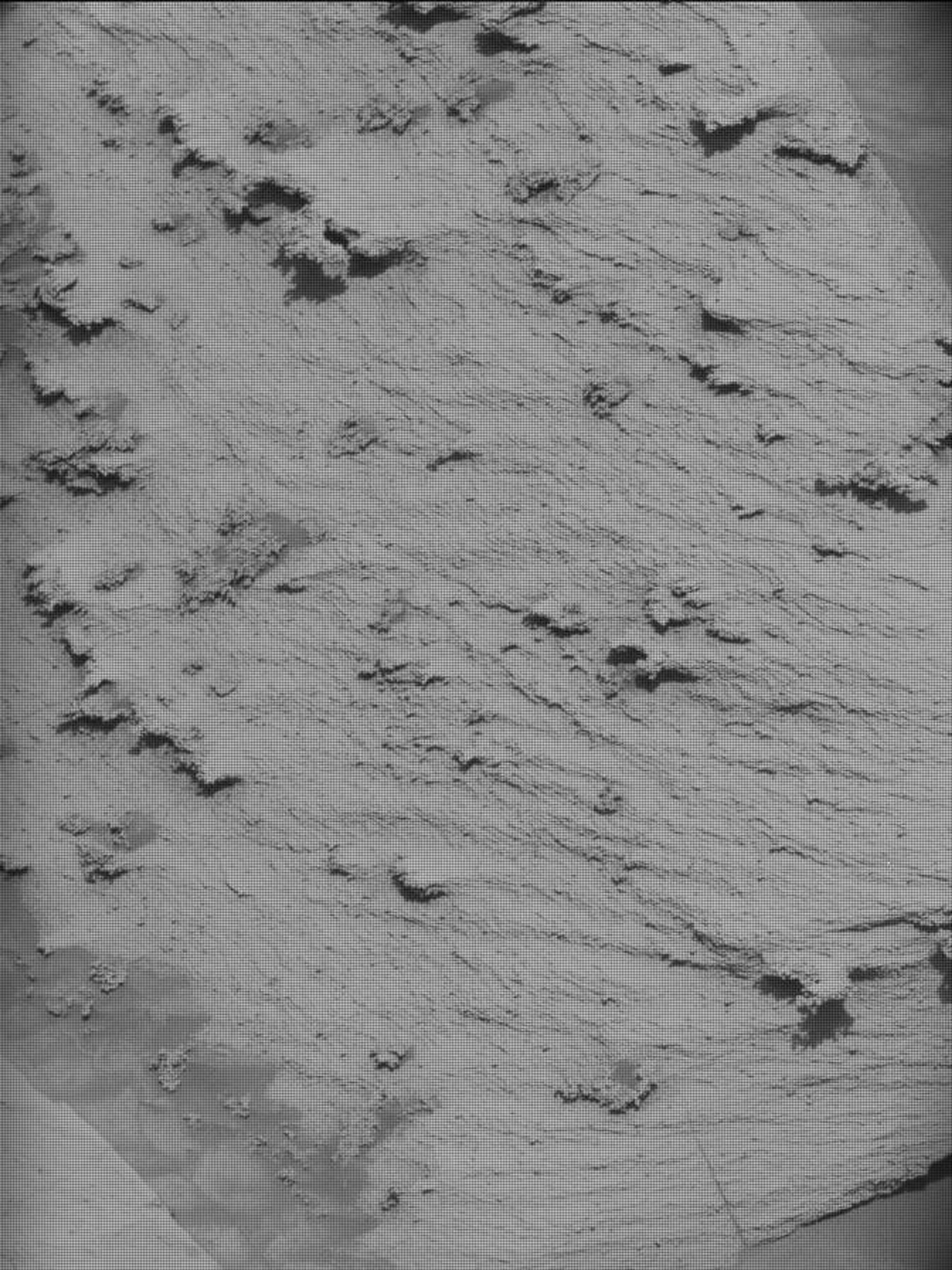
A grayscale image shows a patch of rough, slightly wavy terrain with several flat, jagged areas emerging from the surface and all pointing toward the lower left corner of the frame. The area looks like a patch of peanut butter or frosting, with wavy lines and peaks left by a spreader.

Sols 4389-4390: A Wealth of Ripples, Nodules and Veins

3 min read

Earth planning date: Monday, Dec. 9, 2024 We are continuing to edge our way around the large “Texoli” butte. Much of the bedrock we have been traversing recently looks pretty similar — paler-colored laminated bedrock — but today’s workspace had…

Article3 weeks ago
A grayscale photograph of the Martian surface shows very uneven rocky terrain, with bright-toned, flat, lined and multi-angled rocks covering the surface, with darker soil in between, looking like the entire foreground stretching off into the distance had shattered. In the background, about three quarters of the way up the frame, is a darker, smoother feature rising from the ground and extending all the way across the frame, and beyond that is a lighter, distant band of peaks, resembling a ghostly pale fog bank.

Sols 4386-4388: Powers of Ten

3 min read

Earth planning date: Friday, Dec. 6, 2024 We successfully arrived in our new exploration quadrangle — the Altadena quad — which is named after a town on Earth very near our own Jet Propulsion Laboratory! The names from this quad…

Article4 weeks ago
A grayscale landscape photo from Mars, showing a broad, medium gray, rock-strewn plain in the foreground extending far into the distance, surrounded by hills. The closest hill, on the right, rises up toward the side of the frame, and is darker than the floor below. It has distinct dark ridges from bottom to top, looking like it is made of stacked layers. A little farther out, on the left, a gentle slope rises from the low middle of the frame to middle of the left side; it’s about the same color as the valley floor, except for a band at its farthest edge, which darkens abruptly as if covered in shadow. The terrain appears softer than the ground below, more sandy than rocky. Beyond that along the same rising plane is a much lighter area, with scattered tiny peaks that are darker — looking like whipped peanut butter.The channel floor runs between these hills, then appears to curve toward the right, behind the first hill and in front of the second. All of this is below a light-gray sky filling the top third of the frame.

Sols 4384-4385: Leaving the Bishop Quad

3 min read

Earth planning date: Wednesday, Dec. 4, 2024 As the Curiosity rover climbs west toward the broad saddle separating Gediz Vallis from its neighboring canyon on the slopes of Mount Sharp, the rover is also approaching the edge of its current…

Article4 weeks ago
A grayscale photograph of the Martian landscape shows a flat field covered in jagged rocks extending from the foreground at the bottom of the frame, to a line about one-sixth of the way up the frame, where it reaches a rock feature rising from the ground. That feature, a butte composed of rock layers, resembles a stack of rugs, angled with the lowest layers on the right and subsequent layers shifting to the left as it grows higher.

Sols 4382-4383: Team Work, Dream Work

3 min read

Earth planning date: Monday, Dec. 2, 2024 Today, after a weeklong holiday break, the team was eager to take a look at Curiosity’s new workspace. After driving 51 meters (about 167 feet) alongside Texoli butte (pictured) we had a whole…
Article1 month ago
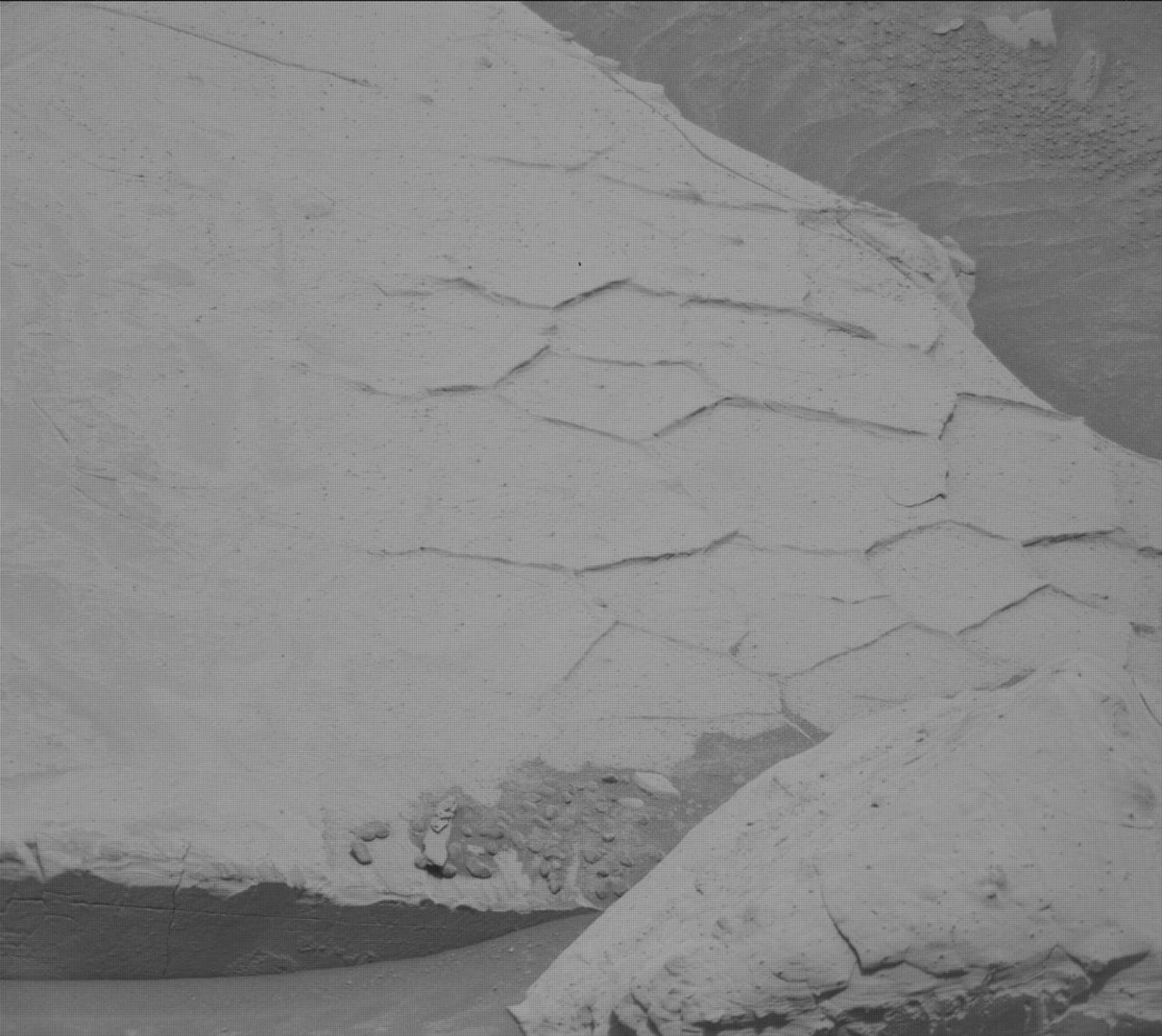
A closeup, grayscale photograph from the Martian surface shows a flat rock with raised polygonal ridges on its surface – mainly pentagons, hexagons, and rectangles – dominating most of the frame. Small areas of the surrounding soil, in a darker shade of gray, are visible in the upper right and lower left corners of the image.

Sols 4375-4381: A Stuffed Holiday Plan

3 min read

Earth planning date: Monday, Nov. 25, 2024 Today we planned a mammoth seven-sol plan, to cover the U.S. Thanksgiving holiday period. Unfortunately, our weekend drive ended a little early and we didn’t receive all of our needed confirmation imagery. At…

Article1 month ago